I found the first cache on my list in a few seconds, but managed to lose the top to the container, and so spent at least a half-hour, a FRUITLESSLY SPENT half-hour, searching, as I said, fruitlessly, and so had to beg forgiveness from the cache owner, from who I have not heard back.
Did I mention it was foggy? Here are some foggy pictures for you.

So these are looking to the south or south west, towards Sycamore Canyon.

Except this one, a bit later, is looking towards the west, I think. Or at least across the canyon towards Via Santa Pradera, which means NOTHING in Google Translate, each word seems to be in a different language. Something about a Holy Prairie, I don't know.

And foggy means dew, and dew means WET! Fortunately, I was wearing my synthetic hiking pants with my new synthetic hiking shirt. Both, while too large, dry quickly. Most excellent!
I found all the caches, but two of them gave me a lot of trouble.
SPOILER ALERT!!!
Check out this one. This is what we in the sport call a "nano". I came back to this spot FOUR TIMES to look under this branch, as it was the only logical place it could be, according to the hint.

And here the branch is back in place. A little bit harder to see, ain't it? Actually, branch is not all the way down, there's a little rock there I had to pull out.

Before the Great Nano Hunt I was a bit farther down the ridge. It look like someone had weed whacked the, uh, weeds, there were some native plants planted, and there were a whole bunch of these drains. At least, I GUESS they are drains. Do they drain somewhere? I don't know. There wasn't any sprinklers to water the area, and it sure doesn't rain THAT much around these parts. Maybe it's to collect all that dewey fog.

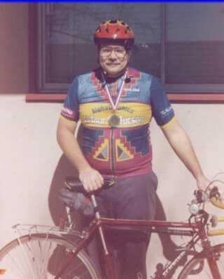
I was thinking I should have brought the bike, 'cause it wasn't that hilly and I could have saved a lot of time. Saw this guy coming down the road, great minds think alike, right?

He wasn't moving too fast, and he looked a little jerky in his pedaling style.

Oh. Never mind.

The fog was gone by now, I made it to the vehicle just in time! In the pic below, that is Cowles Mountain way out there past the ridge on the right.

I went back to that first cache to see if I could find the lid. Nope.
Headed back to Scripps Poway Parkway to stop at Sycamore Canyon Park. Didn't see the turnoff. That is because there IS no turn off from Scripps Poway Parkway, I found later.
I also found out that the old Atlas missle test stands are just to the south of Stonebridge Parkway about three thousand feet.
Stopped in Lakeside to take a quick look for a cache. Found I didn't have the coordinates on me. Huh. Stopped at Target to look at the GoPro camera. None on display. No, I did not to the clerk. I DID find that Target has the same answering machine I drove all the way to Kearney Mesa to buy, for only $14.99. Oh, well!
On a totally different note, did you see that NASA launched some cell phones into orbit last week? Also here. I've been monitoring 437.425 mhz but I haven't heard anything but static.
I guess we are finished here!
No comments:
Post a Comment