It's not JUST about what I had for breakfast...

Saturday, December 29, 2018

BACK TO PENNY PINES

On the 28th (a Friday) I made the decision to head to the mountains to try a little geocaching in the snow, so as to bond with my northern geo-brethren a bit more.  I headed to Penny Pines as I had decided to go up that one hill that Matt and I had decided NOT to go up a couple of weeks ago.

I had seen some snow from the vehicle as I drove into the area, and shot a little video of it. Maybe I'll stick it in here.  It's already on the Fb.

This was the first snow I saw while hiking.


I prepared for the cold by wearing, for the first time, some long underwear I purchased over a year ago.  I forgot to bring any warm gloves, so I wore my orange mechanic's glove.  Better than nothing! I wore my blue Turtle Fur hat, of course.

This is a geocache that was on top of the one hill, where there wasn't any snow, except for this tiny little bit.


Here is a panorama from the peak of that one hill. You can see the desert out there, and the Sunset Highway off to one side.


After coming down from that one hill I got in the vehicle and drove down the Highway a bit to the next pull-out.  From there I hiked up the Garnet Peak trail for a ways. Finding a couple of caches, and some patches of snow.


I thought this was a pretty picture, except for my glove there.


This is on the Pacific Crest Trail (PCT) looking down onto the desert below.  A LONG way below.


I did not go up Garnet Peak, instead I went to a lower peak nearby where there was a cache.  Here is the log book, blurred, held up with Garnet Peak in the background.


And then I headed home via Cuyamaca highway.

Thanks for reading!


Tuesday, December 18, 2018

ON THE PCT WHERE IT CROSSES KITCHEN CREEK ROAD

Monday we went out to Kitchen Creek Road and parked right where the Pacific Crest Trail crosses. There is a bit of parking lot, and it is a very popular spot on the weekend.

Don't forget that these are just "thumbnails", so clip on the image (if you dare) to see the original picture

You can see the 8 freeway way back there.  Also, the Cameron fire station.  I took this picture for the rock formations, but they do not show up so well.


We called this one "The Castle".


This is a close up of one of the rock formations.


Here is a panorama from one point on the trail.
 

That is all for that, but I found this while looking at Google maps in the Miramar area.


Thanks for reading!

Sunday, December 16, 2018

OUT IN PENNY PINES YESTERDAY

We went up to the Penny Pines area in Mt. Laguna yesterday.  Hiking a bit a long the Pacific Crest Trail and doing some geocaching, too.

Do not forget that these images are "thumbnails", so click on the image to see the full size versions, which might be quite large in file size.  Especially the panorama!

You can see the Salton Sea out there in the haze from this spot.


I took several pictures of the Moon up there in the sky.


We decided that is probably Garnet peak over there.  We will try that one another day!


It's a long long way down to the desert. That is the S2 down there.


An enormous panorama for your enjoyment.


There's that desert again!  And there's that Salton Sea again!


I noticed this quartz in chalk formation, it just seemed odd.


And this right-angle one, how does that work?


That's all I got, first post in many a month!

Tuesday, September 11, 2018

Nope, nothing yet.


My new Panavise.  I always wanted one.

Friday, April 27, 2018

Trekking the marsh

We went to Torrey Pines State Natural Preserve today, and walked the little-known (to me!) Marsh Trail, from Sorrento Valley to Torrey Pines Road.  And back again.  It's pretty flat, but I was still tired at the end.  Good thing I wasn't driving!

Be sure to click on the thumbnails to see the full-size images.  Unless you are on dial-up!

Here are some of the things we saw!

The Coaster heading north!


It must be high tide!  I don't know what that device with the antenna does.  Water levels?  You can see the highway bridge towards the center, and the Torrey Pines Extension to the far right.


A deer skeleton.


Three pictures of a Harlequin bug.on a Bladder Pod bush.


I took some pictures of bumblebees, but the bees were not visible.  It is a mystery to me, too!

Here we have a crab.


And here we have the crab being crabby.  Actually, this picture was taken before the previous one.  I guess he calmed down.


This is looking up towards a high point of Torrey Pine Road.  I thought the rock formations were interesting.


And here we got a panorama taken near the end of the trail.  A little further and we turned around to head on back.


The full-size image file is around 11 megs

Thanks for reading!

Thursday, April 19, 2018

Whoopsie

The "Singing In The Rain" post was supposed to be on the My Bicycle Musings blog. I am too lazy to fix it.  So I made a link on THAT blog to come to THIS blog if they want to see it.  Good enough for the likes of them!

I have maybe three months of pics I haven't been keeping up with.  Should I just post them all on here, with very little commentary?  Or just let you wander around the file folders after I've uploaded them?

Well, here is a panorama from yesterday, April 18th, showing the view from not quite all the way to the peak of Van Dam Peak (which I keep call Van Dam Mountain...), which overlooks the Sabre Springs. 


The panorama was taken at bout 850 feet of elevation.  The peak is 1,038 as far as I can figure out.  We really were not that close, and I was WAY pooped, so we turned around and went off to have lunch.  Oddly, I felt pretty fine on the way back down!

Thanks for reading!

Singing In The Rain

Well, not singing, more of a grumbling.

I rode 4.6 miles (round trip) today, in a light rain, to replace a geocache.  'Cause that is the kind of guy I am.!

I got a bit wet, and my legs were kinda pink when I got home.  I took a warm shower and I feel all right.

A couple of obligatory selfies at the cache GZ.


Well, there you have it, my first post here in a long time. Thanks for your patience!

Saturday, January 13, 2018

It Is A New Year, And I Am Still Falling Behinder!

Please remember that these are all thumbnail images, and you can see the BIG PICTURE by clicking on them!

January 4, 2018

Utilizing Dr. Pat Abbott's new book about the geology of Mission Trails Regional Park, we went exploring, look at rocks with new eyes.  These very interesting rocks were mentioned in the book, and are not IN MTRP, but instead are on Navajo Road.


January 5, 2018

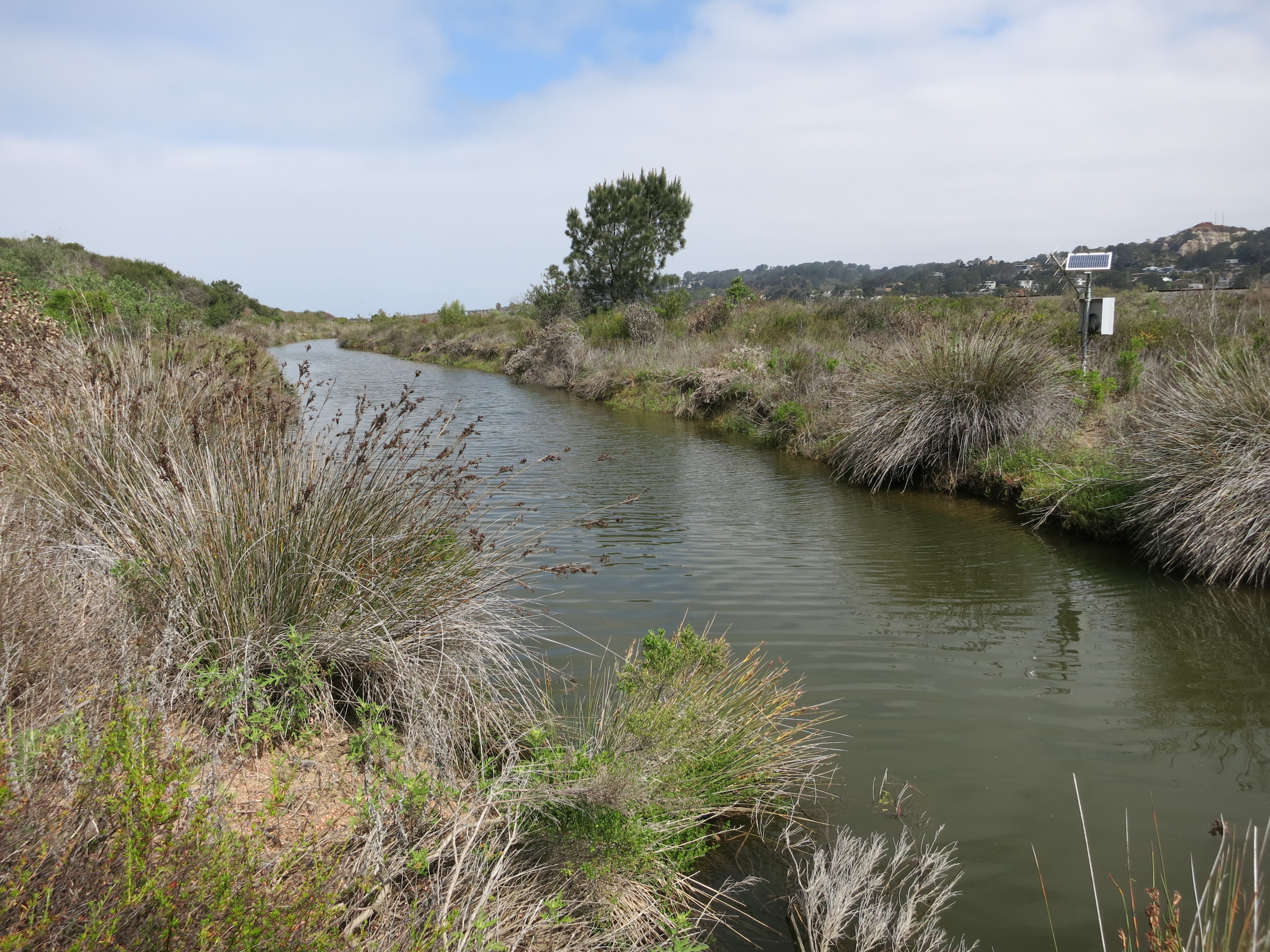
Today I went geocaching in that canyon south of H Street in Chula Vista.  There is actually water in the crick right now!  Here are a few pictures I took, mostly at a particular spot with soothing riparian sounds.


Trying to get a good angle on the creek.


Well, that's not TOO bad.  Too many tumbleweeds, though!


Zoomed in on the creek by the tumbleweeds.


This is a few feet east of the tumbleweeds.


Looks like the water is undercutting the bank.  I can't tell what is reflection and what is not.


Is that a trail over there?  I don't think I'd care to walk on that!


January 7, 2018

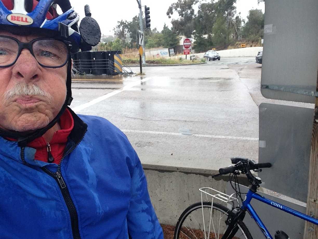
I went for my first "ride" of the New Year, down to the Costco area to check on something.


Well, there we have some variegated leaves on some mysterious plant.


Upon arriving at home I found I traveled a whole 3.35 miles.  Wow!


January 8, 2018

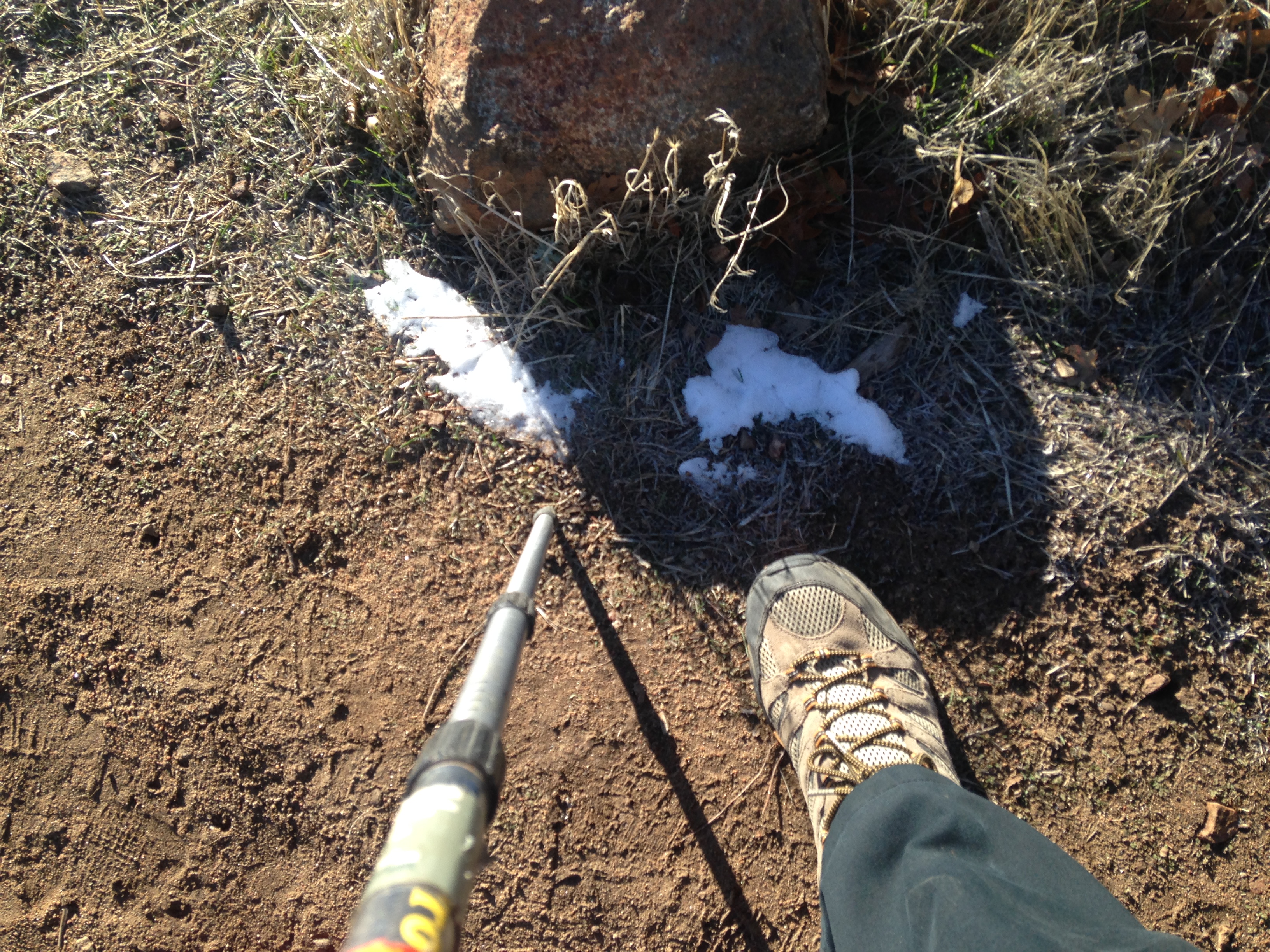
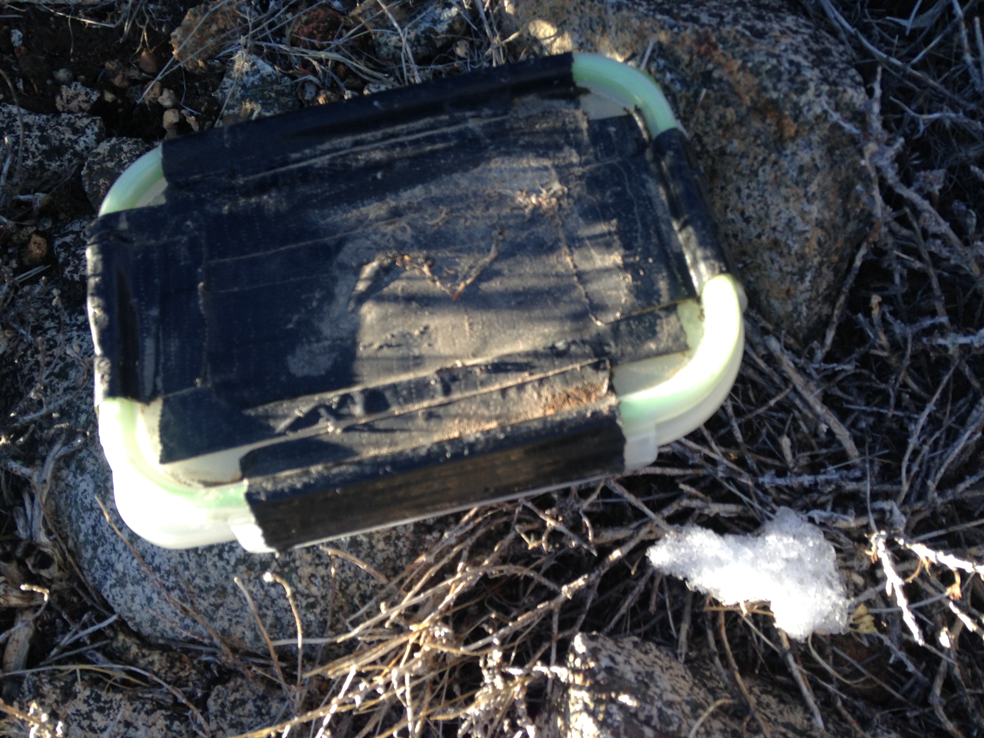
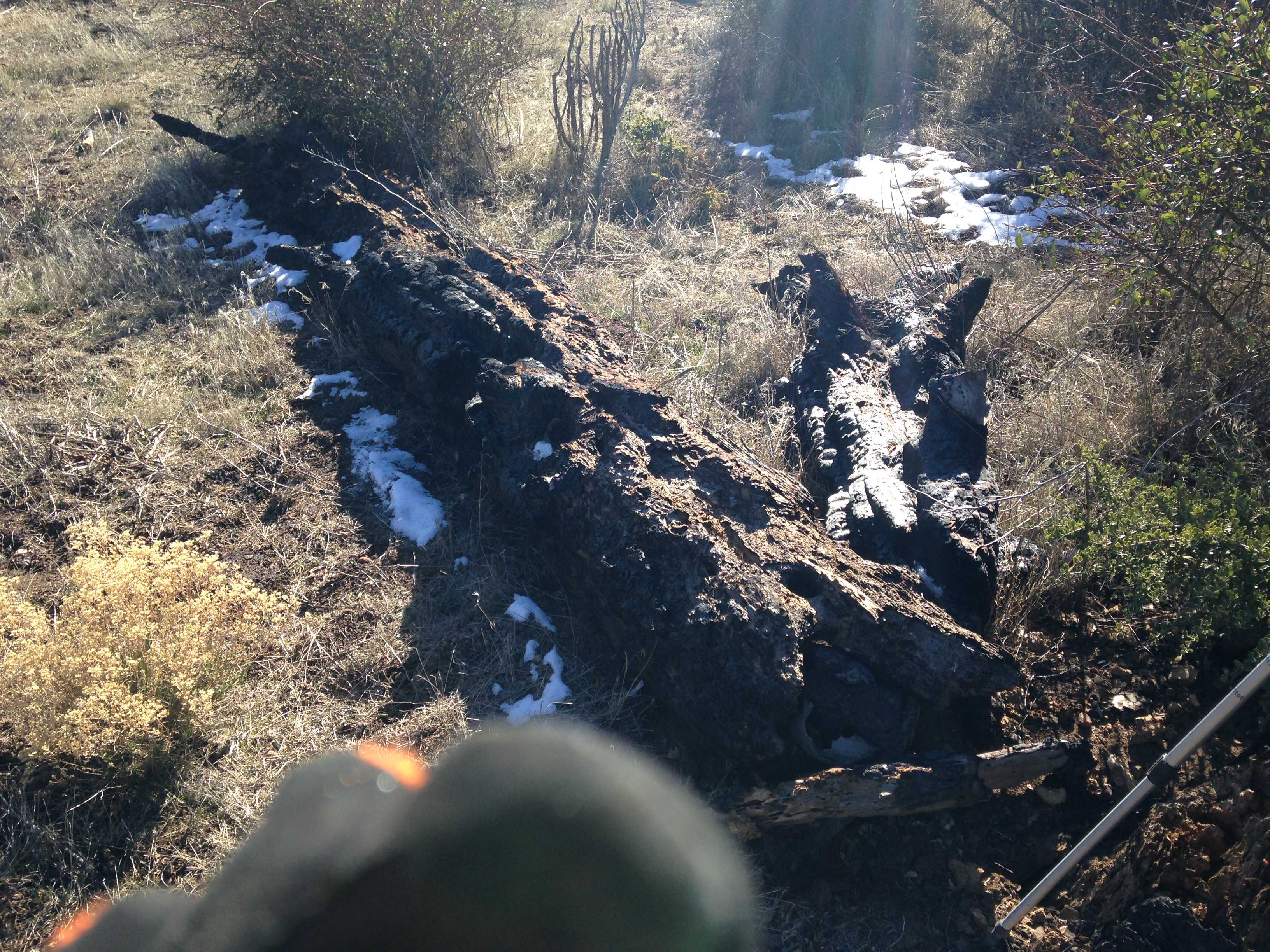
On an impulse I drove out to Santee to find a puzzle geocache I had solved, and then on even more of an impulse I headed to Poway, of all places, to find another puzzle geocache I had solved, and to not find one, too.  It started drizzling while I was exploring the Poway Creek bank.


January 9, 2018

We had some rain and some wind the past few days.  Four palm fronds fell from the accursed (I shoulda killed it when it was only five feet tall) palm tree.


The jade plant is flowering.


Lots of dead ivy (I hates it!) on the accursed palm tree.  Hey, there's my weather station!


A more better picture of the jade plant.


The orchids, well, at least one of them, have a flower going on.


Is it windy?  Looks windy!


I wonder how much it would cost the landlord to make this accursed tree disappear?


January 11, 2018

Lots of noise today as these two helicopters flew around the area, covering a police chase, it turned out.
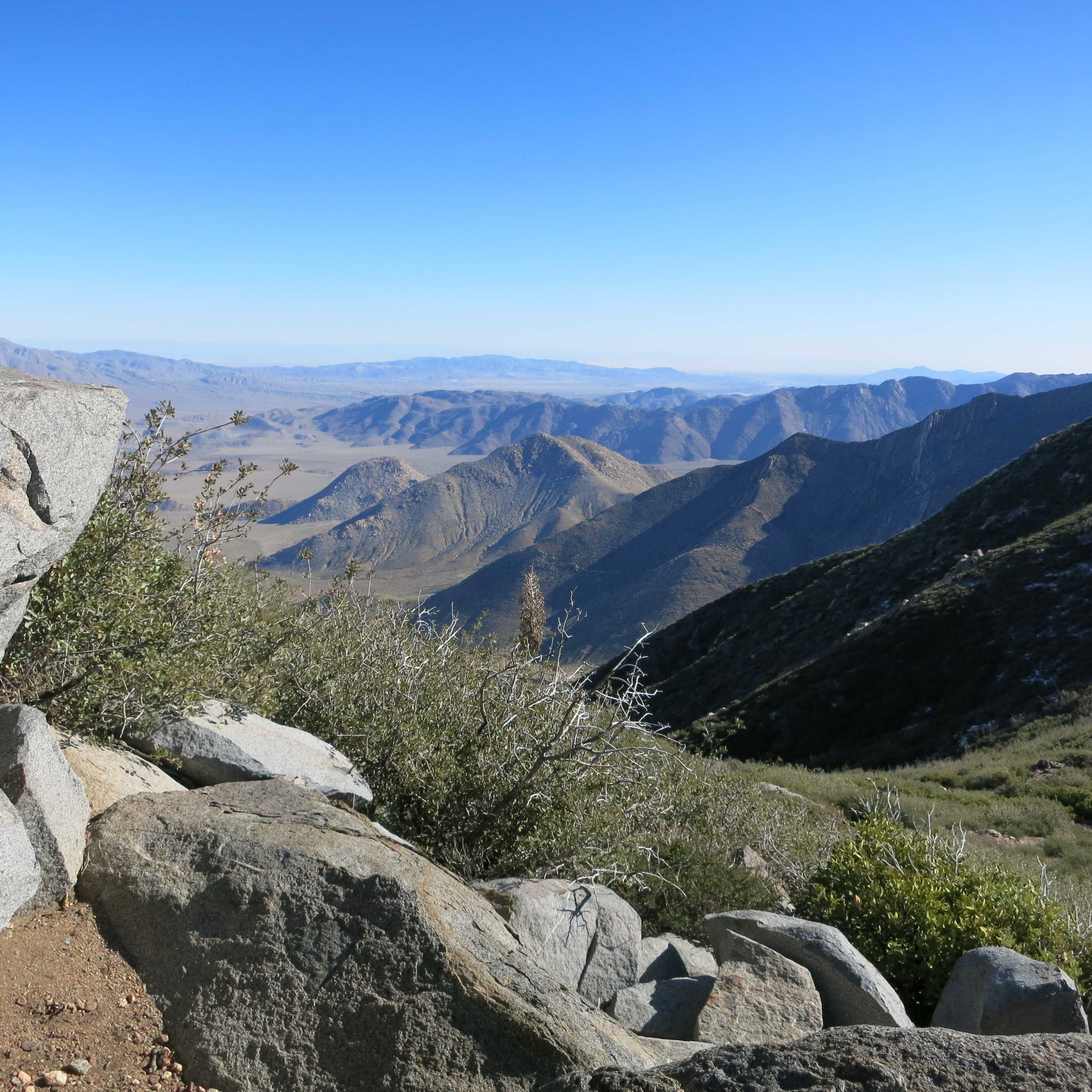


January 12, 2018

We went to the Marshal South house in Anza Borrego State Park, this is a sundial there.


The remains of the adobe house.  The adobe is not protected by plaster, so it is melting when it rains.


Here is a panorama I took on the hike returning to the car.


January 13, 2018

This evening we were looking all over for the mayonnaise.  I SWORE I had put it back into the refrigerator, why oh why is it not there, or AT LEAST on the counter.  My daughter finally suggested we check here.


MISC.

These pics have no date, so I'm not sure when they were taken.  This is a ham radio antenna I saw while driving back from Windmill Farms.  I took this image from Google Streetview.  That crooked antenna element, does that throw off the radiation pattern?


I saw this stuff at Windmill Farms, but the image is from Amazon.com.  I wonder how it works?


I saw this image in a forum post on Facebook.  It is of a flooded El Estero lake in Monterey, California.  Unfortunately, it is not dated, but I would say 1940s or early 50s, as Dennis the Menace Playground (opened 1956) doesn't seem to be built yet.  Or it's under water!


Another link to Dennis the Menace Playground, 'cause it was so cool.

Thanks for reading!


Search This Blog

About Me

Blog Archive

Followers