It's not JUST about what I had for breakfast...

Sunday, August 28, 2016

School Starts Tomorrow!! Ha ha!

A week's worth of pictures, ranging from just plain awful to not so bad, with a bit of the weird.

MISC. DAYS

A picture of the left-hand corner of my messy computer desk.


A vintage motorcycle I saw while at the grocery.  Would this not be perfect for geocaching in the desert?  Or maybe a little bit of modification into a cafe racer?


THURSDAY

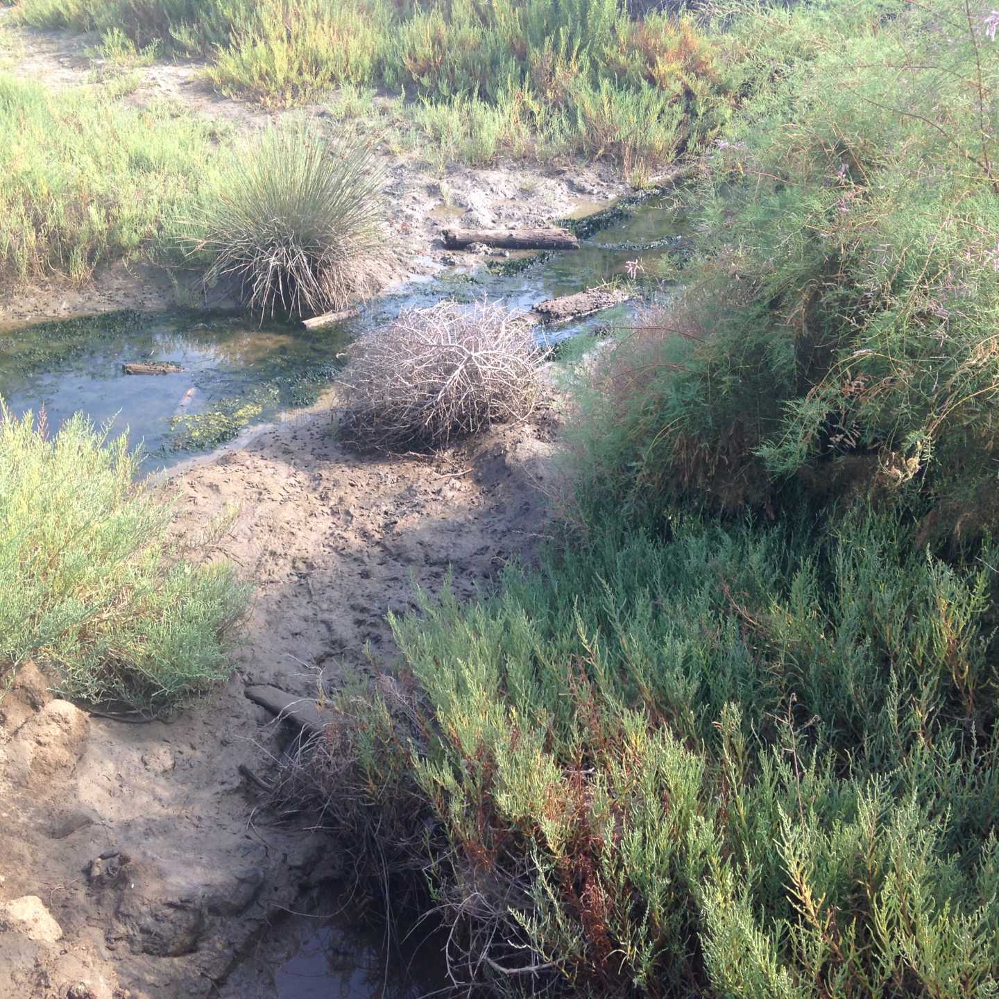
The Santa Margarita River north of Fallbrook.  I had no idea it flows FROM the Temecula area TO the sea at MCRD.


This is NOT the same picture as the one above.  It just LOOKS the same.


A view of the Santa Magarita river in a different spot.  What makes this river different from other rivers in San Diego is that it generally has an appreciable amount of water flowing year round.


SATURDAY
 
Saw this Orb-Weaver spider on a bush while walking along Federal Blvd.


Federal Blvd. in San Diego, but on the south side of the 94, to be a little more precise. Almost, but not quite, in Lemon Grove.


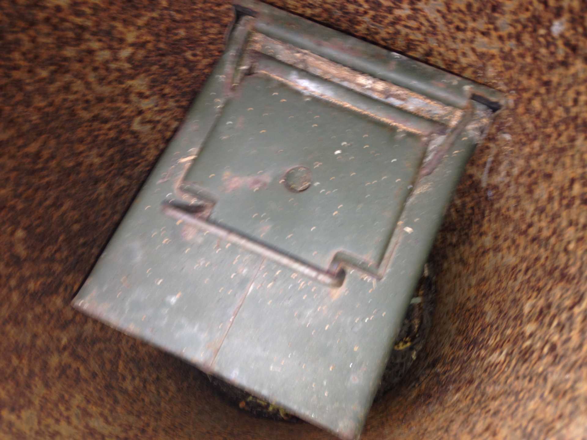
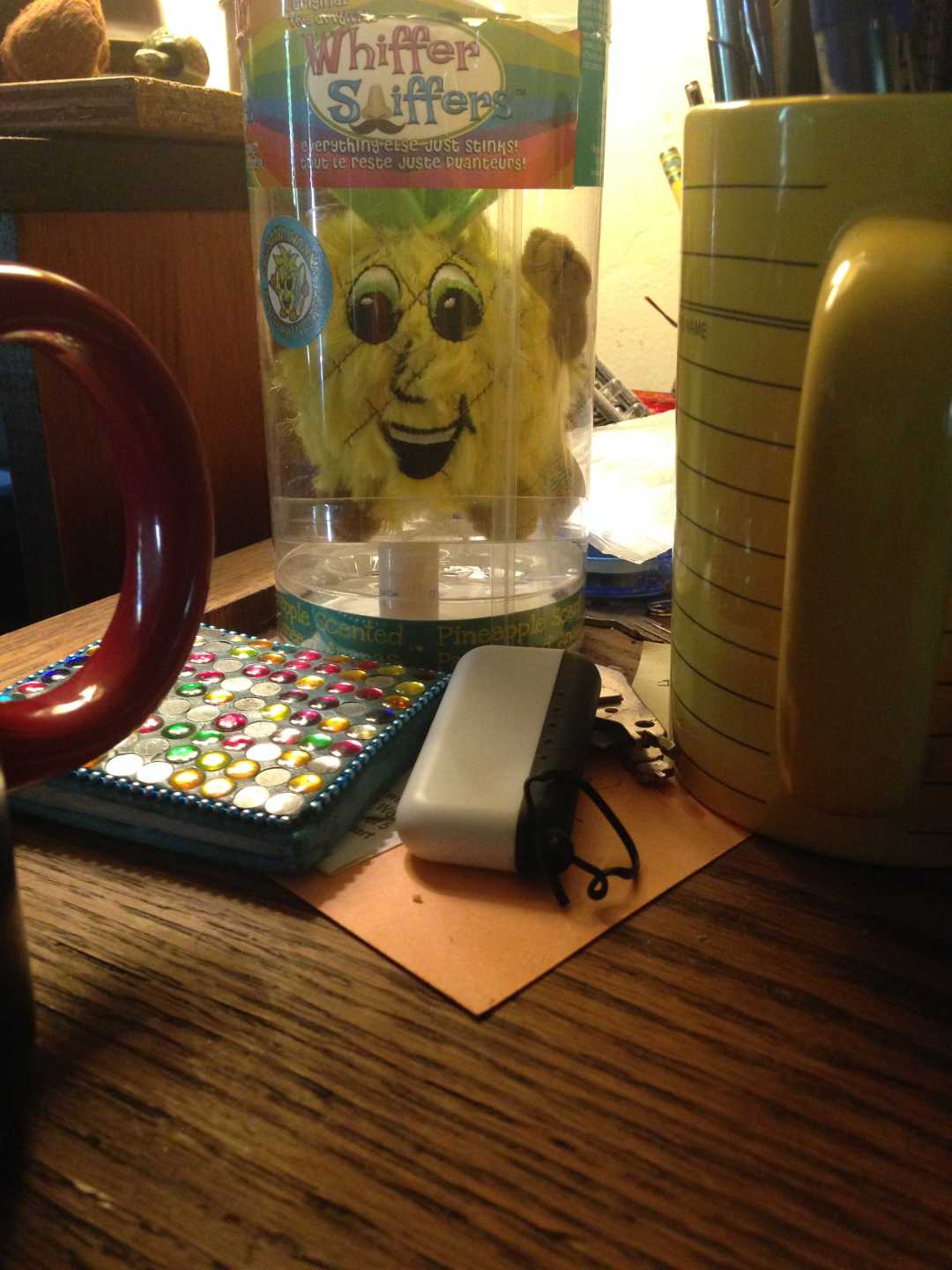
I thought this might be the geocache I was looking for, but it was not.  It was indeed Grape Hair Jam, hardly even used.  What ever that is.  Would it work on my cowlick?  Would it smell like grape?


SUNDAY

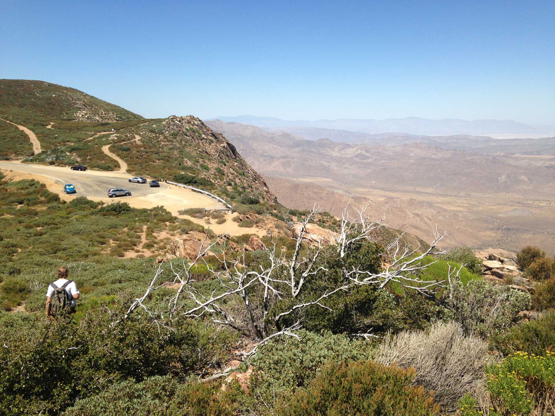
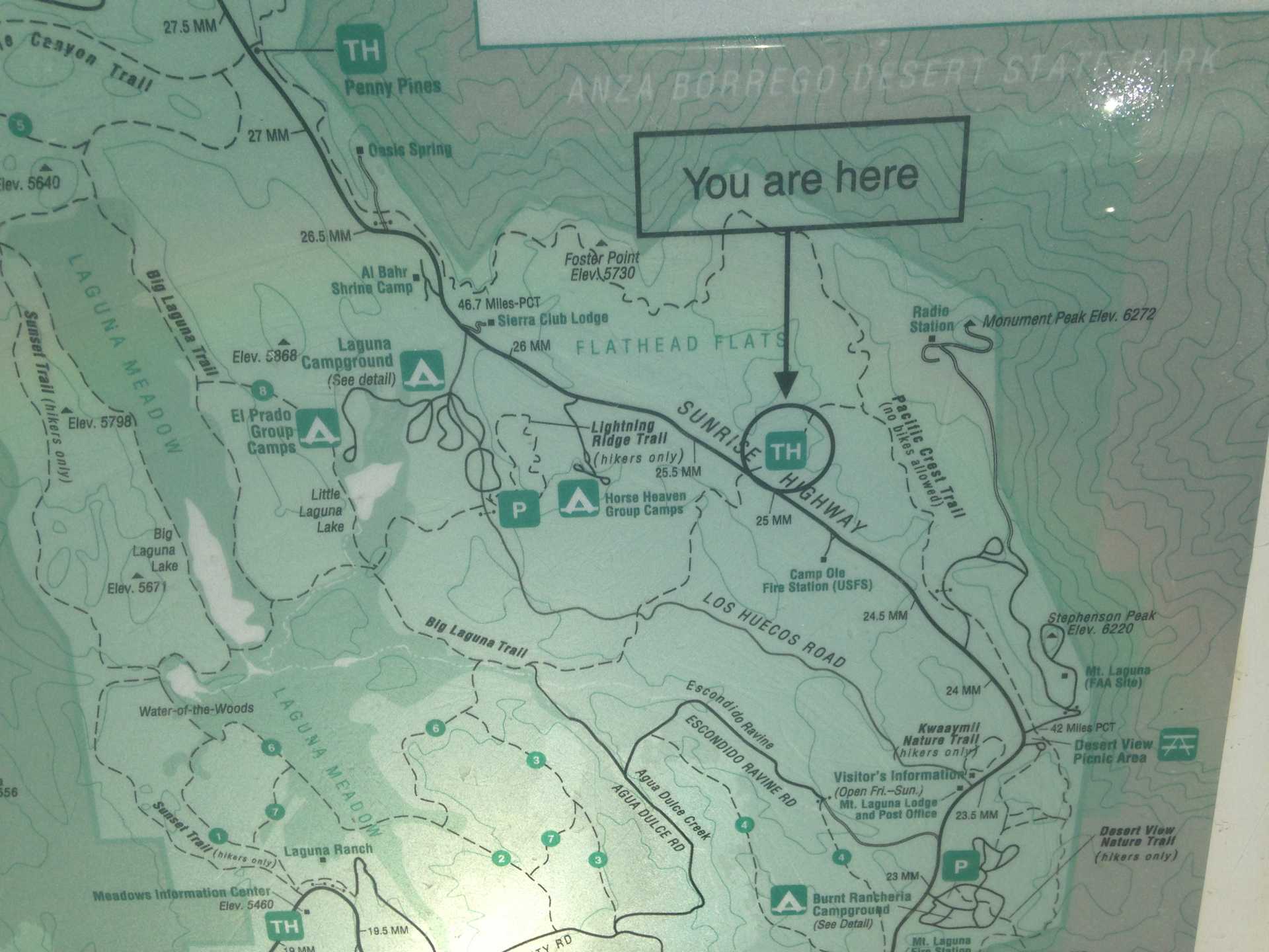
Hiking along the PCT at Laguna Mountain.

A panorama image from the Storm Canyon overlook.to the desert below.


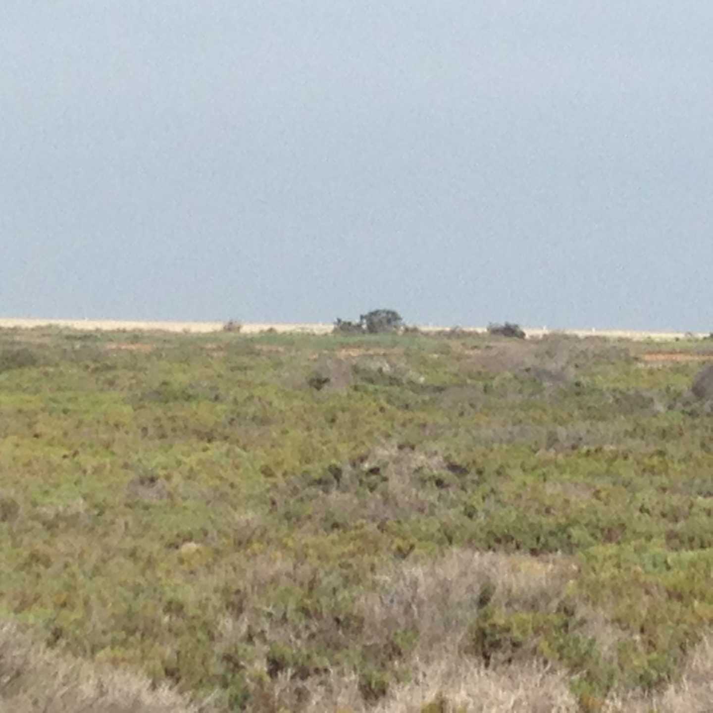
A still image looking down the desert canyon.  Is that a house down there?


We wuz there!


Is this poison oak?  So far on the FB only one person has commented.


Matthew and I walked about 3.5 miles today.  My feet were very very tired at the end. The temperature was warm, but not too hot.  The sun was very bright, and Matt got a bit of sunburn on his newly shorn neck.  My hands may have a bit of a burn.

That is about all I can think of right now!


Wednesday, August 17, 2016

Tuesday, August 16, 2016

Out And Out, Mostly On Garbage Day

On Friday, I think it was, I went over to the part of the McGinty Mountain Ecological Preserve on Willow Glen.  There is not any parking particularly near, so it was a bit of a walk to get there.  Also, very very warm.  Found several caches, including three letter boxes.  Got blue ink on my hands!

Map behind glass in the preserve kiosk.


We went to Fry's to look for a phone.  I saw this motorcycle from a manufacturer I never heard of.  Turns out to be Korean.  I wish the helmet wasn't covering up the model number!


Monday I went to drive the vehicle and discovered that I couldn't find the keys.  Well, I found them outside, in  a puddle, next to the vehicle.  Where they have been sitting for two days...


Tuesday (today) I went to McGinty Mountain for the first time.  This picture was at the only geocache I didn't find, of the few I looked for.  It reminded me, in retrospect, of the picture that come next in sequence, the mine below.  This is NOT a view from inside the mine, it's just looking into some rocks piled together to see what is there.  Pretend you saw the mine picture first, then this one.


One of several mines or excavations around the McGinty area.


One of two panoramas from the top of the hill.  The hill turned out to NOT be the peak of McGinty Mountain.  The peak is 1.5 miles farther along the trail...

This mostly looks over Jamul.  The mine entrance pictured above is on the right.


Panorama #2-- Mount Miguel to the left, Mt. Helix in the center, maybe Cowles behind that, and I-don't-know to the right.


I turned back after this because it was too hot, I was too tired, and I guess I'm too old!

It was several degrees over a hundred when I got home.  I took a shower and changed my clothes.

Thanks for reading!

Wednesday, August 10, 2016

Oh oh it is Wednesday

I forgot it was Wednesday and so missed out on a geocaching meet-up.  Instead I drove up to Laguna Mountain and did some geocaching.  Here I am in front of the 5,000 FT. elevation sign.  MOO!


I thought this was the location of a cache i couldn't find, and I took the picture to tell the Cache Owner about it.  Five minutes later I found the cache in a nearby location...


I stopped by the Kwaaymii Point to take a look for that cache that has avoided being found, by me at least, for quite the while.  With new information I found it in five minutes.  Staggering scenery is seen in this panorama.

Don't forget to click the pictures to see the full-size images!

I found 26 geocaches, I think, and Did Not Find one.  I started out at one end of the Sunrise Highway and ended at the other.

I talked with one fellow, on one particular road, that told how he had lost the keys to his other car along there when he had placed them (and his wallet) on the roof of the car when he was attacked by biting ants and had to take his pants off.  He was all the way home when he remembered, came and found his wallet, but not the keys.

Along the same road I spoke to a Border Patrol agent, and I even met another geocacher who was looking for the same cache I didn't find.  Quite the busy dirt road!

Well, thanks for reading!

Tuesday, August 09, 2016

Update Tuesday

When Windows is doing an update everything slows to a c---r---a---w---l, it is very frustrating.


Phil was in town for a few days.  One day we went up to Mt. Laguna to look around.  Found a geocache, but didn't find a couple more.

Saturday we went to Mission Beach, Fiesta Island, and Imperial Beach.  We had lunch at IB Street Tacos.  Here's a picture, but I ate most of the taco already so it looks quite the mess.  Pretty good, and neither too expensive nor too much to eat.  Just right!


Afterwards we drove down the "IB strand" to the south and parked.  Got out and looked around.  Here's a big panorama of the Tijuana River Estuary.


There were only four families at the beach!

After that we stopped by the tidal area on Hoover Ave. National City to check out the high tide.  Not a King tide, so no flooding today.


On Sunday Matt and I went up to the Laguna Mountain area, but first, second breakfast (for me!).  These signs struck me as odd, who can even see them except people already in the drive through lane?


Above the Kwaaymii Point road.  A great view of the desert below, here at the edge of the mountains.  It can get really REALLY windy here, but not today.


I learn about Julian Schist today, and here is an example.


Thanks for reading!

Tuesday, August 02, 2016

Not Quite Wednesday

On Saturday morning, quite early, I went down to the estuary to find me some geocaches. This was a pretty part of the trail, quite open and easy to walk.


This cache was quite difficult to find.  The GPSr was off by a bit.  The previous two seekers had been unable to spot it.


This one was not too hard to spot, although I needed to use the camera so to do.


I was first DOWN THERE, and held the camera over my head, over the opening of the pipe, to take the previous picture.  Which showed me where the cache was.  But I wasn't going to straddle the pipe to get it, and I wasn't EVEN going to reach into a pipe that I couldn't see into.  Might be a snake in there!

So I got out of there and walked around and sat on the ledge, as you can see, and reached right over to pull it out.  Easy peasy!


This was pretty much the way of the return trail.  The sign may imply that horses are allowed on this trail, but I don't think any have been along here in a while.  Very overgrown!  Plus, SPIDERS like to hang their webs across the "trail"!!


This is looking out west, towards the ocean.  There a two somethings that look like ships out there, can't quite see them.


I zoomed in all the way.  Is that a ship or a bunch of bushes?  If a ship, is it REALLY inside the dunes on the estuary channel?


I had to hop over this green creek, but this is NOT the spot I did it!


I DID stand there on that muddy and slippery bank planning my move, then moved on to a narrower/more dry/less muddy spot.


On Monday I took this misleading selfie and posted it on Facebook. You may have seen it.


On Tuesday I took this rather more realistically proportioned one.


Thanks for reading!

Search This Blog

About Me

Blog Archive

Followers