It's not JUST about what I had for breakfast...

Monday, May 15, 2017

Up On The Mount

They are repaving the street today (and tomorrow!), so I headed up to the hills.  I went to the Laguna Mountain area.  No snow today, but very chilly and windy. With occasional drops of rain.  But not much.  I parked at a spot on the Sunrise Highway and headed up the connecting trail to the Pacific Coast Trail.  Did I mention how windy and cold it was?  It was!

I found nine geocaches, and walked 3.66 miles.  I had to backtrack from the last cache to the previous cache because I seem to have inadvertently marked the previous cache as "found" (with my big fat glove fingers!), and so just skipped it completely.


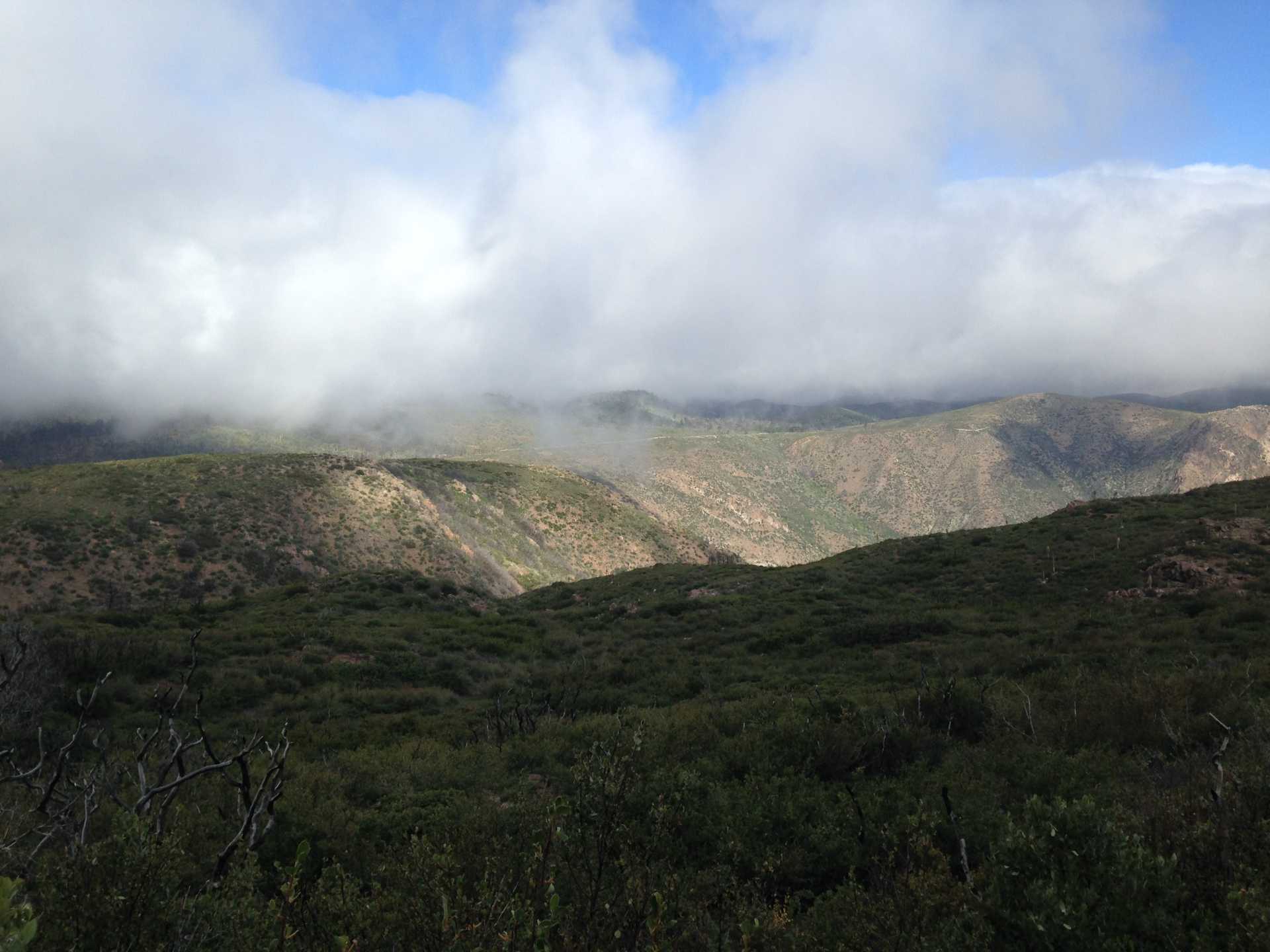
So here we are on the PCT looking off to the north. We're up in the clouds!!


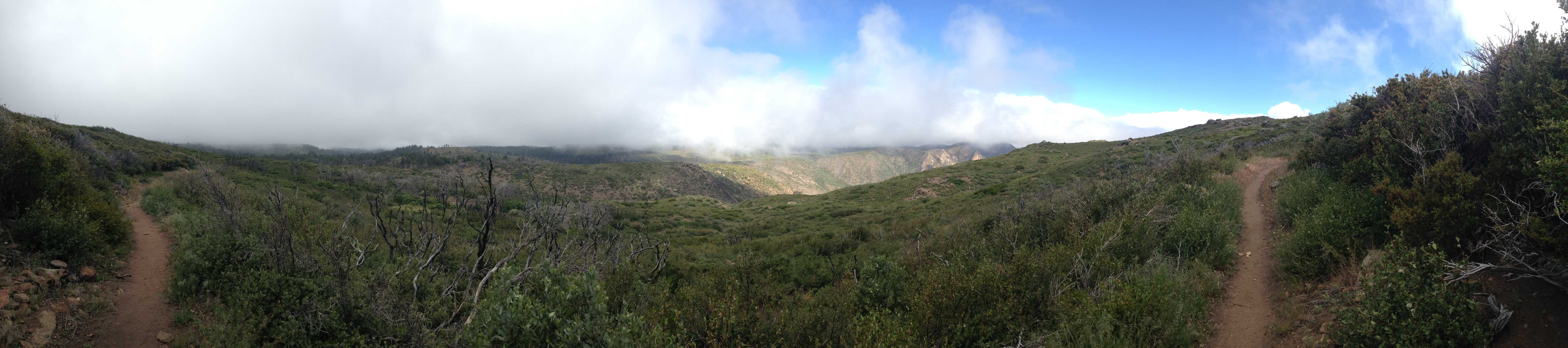
A panorama I made at the very same spot, or nearly so. Still looking to the north-ish.


I forget what this is called, but it is at Foster Point and tells you which mountains you are looking at.
It was very very very windy here.  Super windy, you might say. That is the desert down there.


Getting near to the Storm Canyon Vista viewing platform I decided to take the obligatory selfie, with the desert in background.  The sky has cleared up a bit, and it is a bit warmer, and less windy.  Here, anyway!

I walked back to the vehicle along the Sunrise Highway.  There were not many cars, it being a weekday, which was good because there was not a whole lot of space on the side of the road.

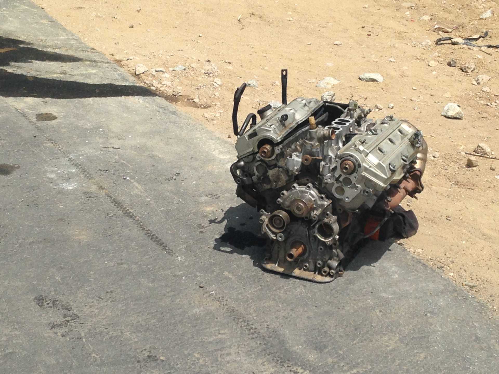
I picked up a few caches on the way home.  In Alpine, if you can imagine.  One of the caches had the wrong coordinates on it.  I, not reading the previous logs, went to the listed coordinates, and not the ones that finders had posted.  I got my boots and socks FULL of stickers for my trouble!  The actual location was maybe almost a mile away.

Adventures in geocaching!

Thanks for reading!


Sunday, May 14, 2017

AGAIN, I've Neglected The Blog!!!

1.  I apologize for not posting these in a timely manner.  It will probably happen again...

2.  You quite likely have seen many of these on Facebook.

3.  I forget.

4.  As mostly, all of these images (except one) are thumbnails, click the pic to see the full size image.

So this one, this is a swarm of bees in the backyard.  The neighbor mentioned they had a hive in the wall of their house (Zikes!!) and I told him that these are HIS bees, then, so come get 'em!!  We laughed and laughed!


One day we hiked up Monument Peak (for a geocache, of course!) and my son took this picture.  Don't I look fine?


And we saw three deer that day, while driving.  I continually forget to mention that!!

I had some issue with the gingersnap cookies I got at Albertson's.  They just look sad. The vanilla cookies look sad, too, but what can one expect of vanilla cookies, anyway?


I went geocaching with my son-in-law and we spotted this Lexus motor along the way.  I figure it's probably still there.


So I spotted these guys burning off the striping on a street.


This reminded me of a meme (an image macro) that's going around.  To be precise, this one (VULGAR LANGUAGE WARNING)

So, I combined the original painting with my photo, and softened the language tad. VoilĂ !


I been ordering stuff on line, and got some tweezers I ordered.  It occurred to me that I may have a problem...


I was out geocaching the other day and found some pot (I guess, it looks like the stuff in The Reader (Well, the printed version, anyway)).  I put it back in its colorful bag and hid it back where I found it. 


At Lake Jennings one warm day.  You can see my vehicle over there!


A view of not-Mt. Miguel from the trail on the east side of Lower Otay Reservoir.


A panorama from the top of some un-named hill in the Eastlake area.


The hint said you would recognize the geocache when you saw it, as something different.  This isn't different enough? 


A panorama from yet ANOTHER un-named hill, this one in the San Miguel Ranch area, which is very near Eastlake.


Compare with a previous blog entry from 2013:  Out and About
Apparently I was better at researching the names of places back then, as it says this high place is Horseshoe Bend.

In the distance, from that high place, we see what I assume is Cowles Mountain, to the north. Sweetwater Reservoir  in the middle there.


And this one is from today.  The previous log on this cache said they couldn't find it.  My iCamera spotted it!


Thanks for reading!

Search This Blog

About Me

Blog Archive

Followers