It's not JUST about what I had for breakfast...

Saturday, December 29, 2018

BACK TO PENNY PINES

On the 28th (a Friday) I made the decision to head to the mountains to try a little geocaching in the snow, so as to bond with my northern geo-brethren a bit more.  I headed to Penny Pines as I had decided to go up that one hill that Matt and I had decided NOT to go up a couple of weeks ago.

I had seen some snow from the vehicle as I drove into the area, and shot a little video of it. Maybe I'll stick it in here.  It's already on the Fb.

This was the first snow I saw while hiking.


I prepared for the cold by wearing, for the first time, some long underwear I purchased over a year ago.  I forgot to bring any warm gloves, so I wore my orange mechanic's glove.  Better than nothing! I wore my blue Turtle Fur hat, of course.

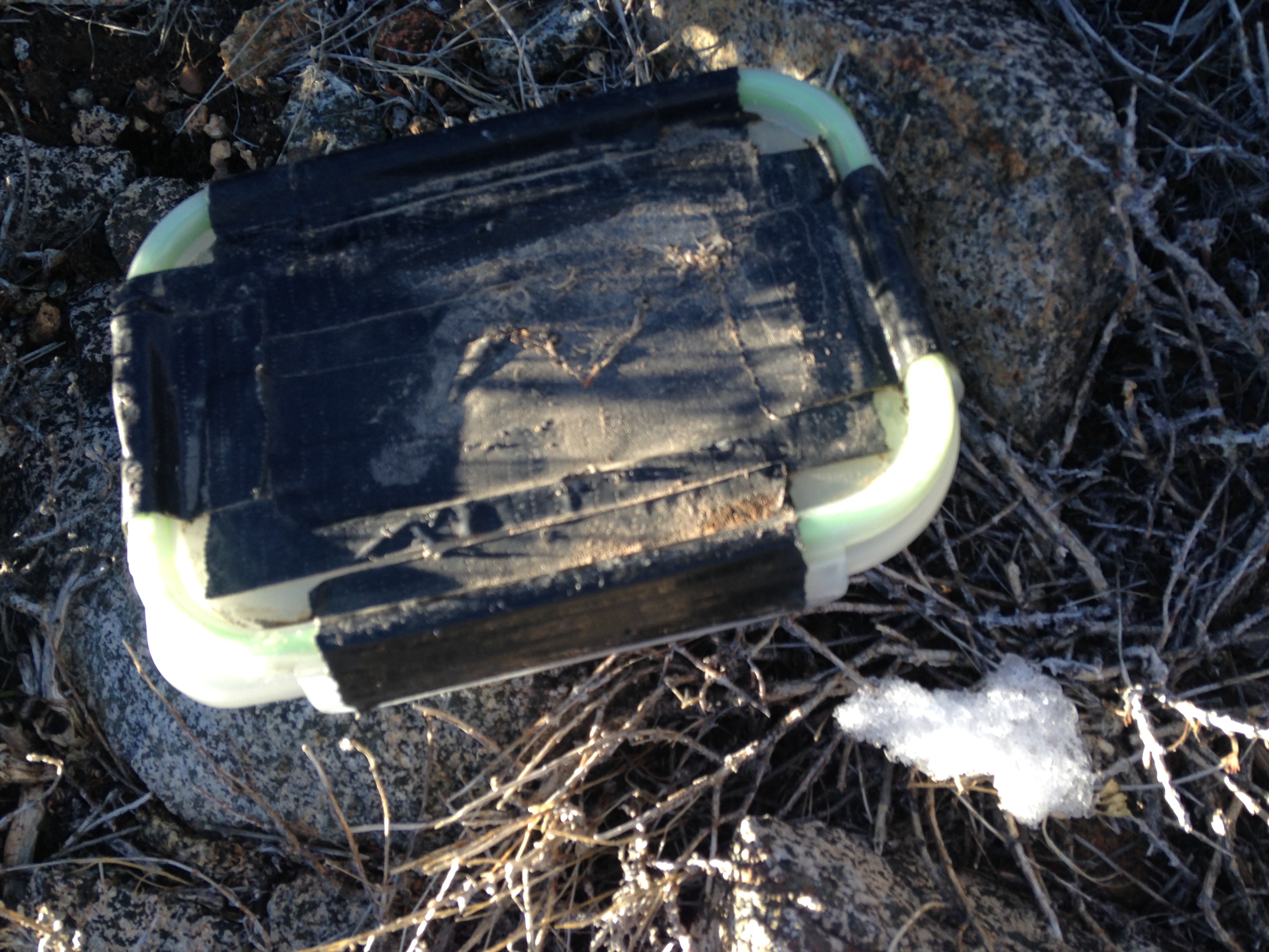
This is a geocache that was on top of the one hill, where there wasn't any snow, except for this tiny little bit.


Here is a panorama from the peak of that one hill. You can see the desert out there, and the Sunset Highway off to one side.


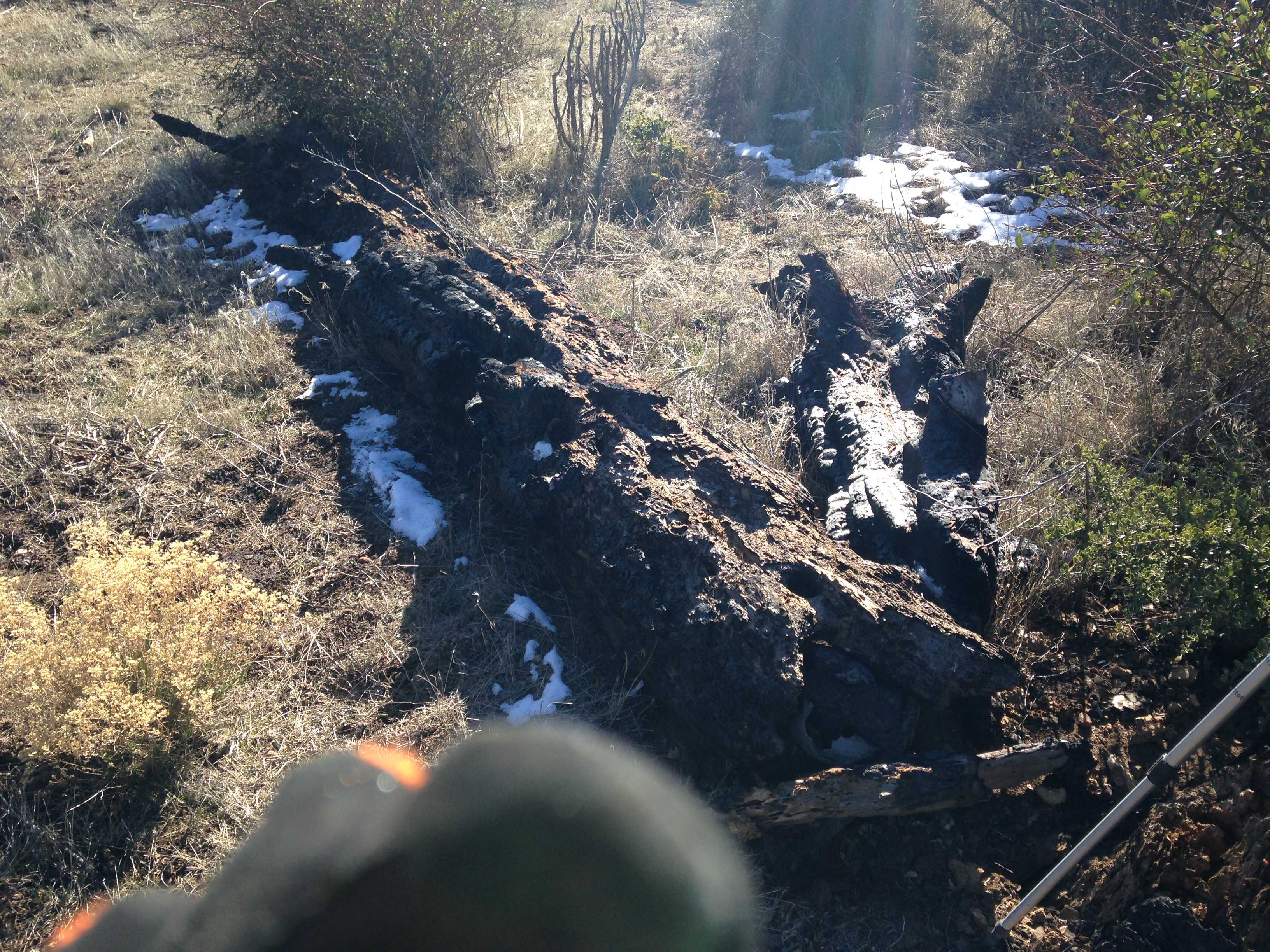
After coming down from that one hill I got in the vehicle and drove down the Highway a bit to the next pull-out.  From there I hiked up the Garnet Peak trail for a ways. Finding a couple of caches, and some patches of snow.


I thought this was a pretty picture, except for my glove there.


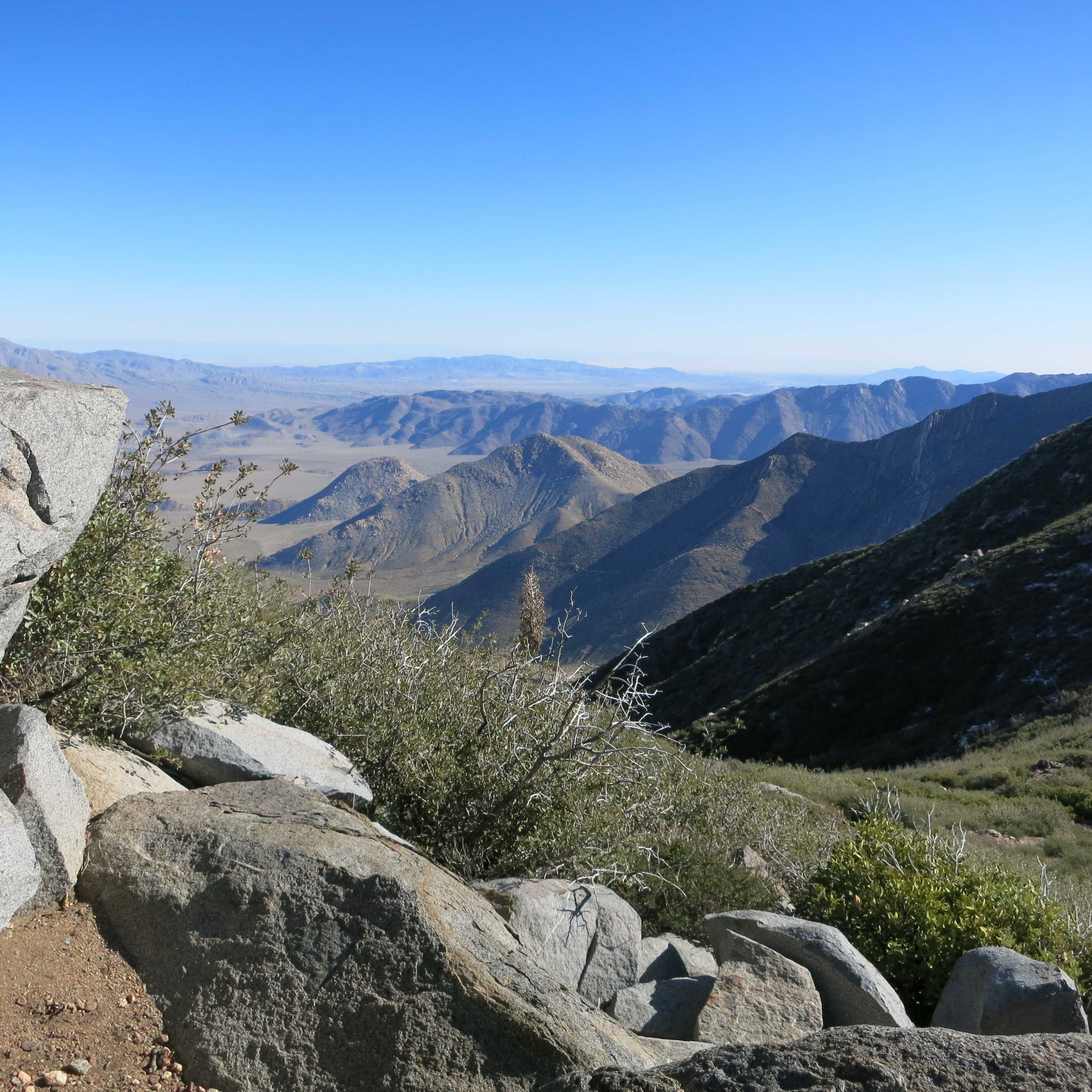
This is on the Pacific Crest Trail (PCT) looking down onto the desert below.  A LONG way below.


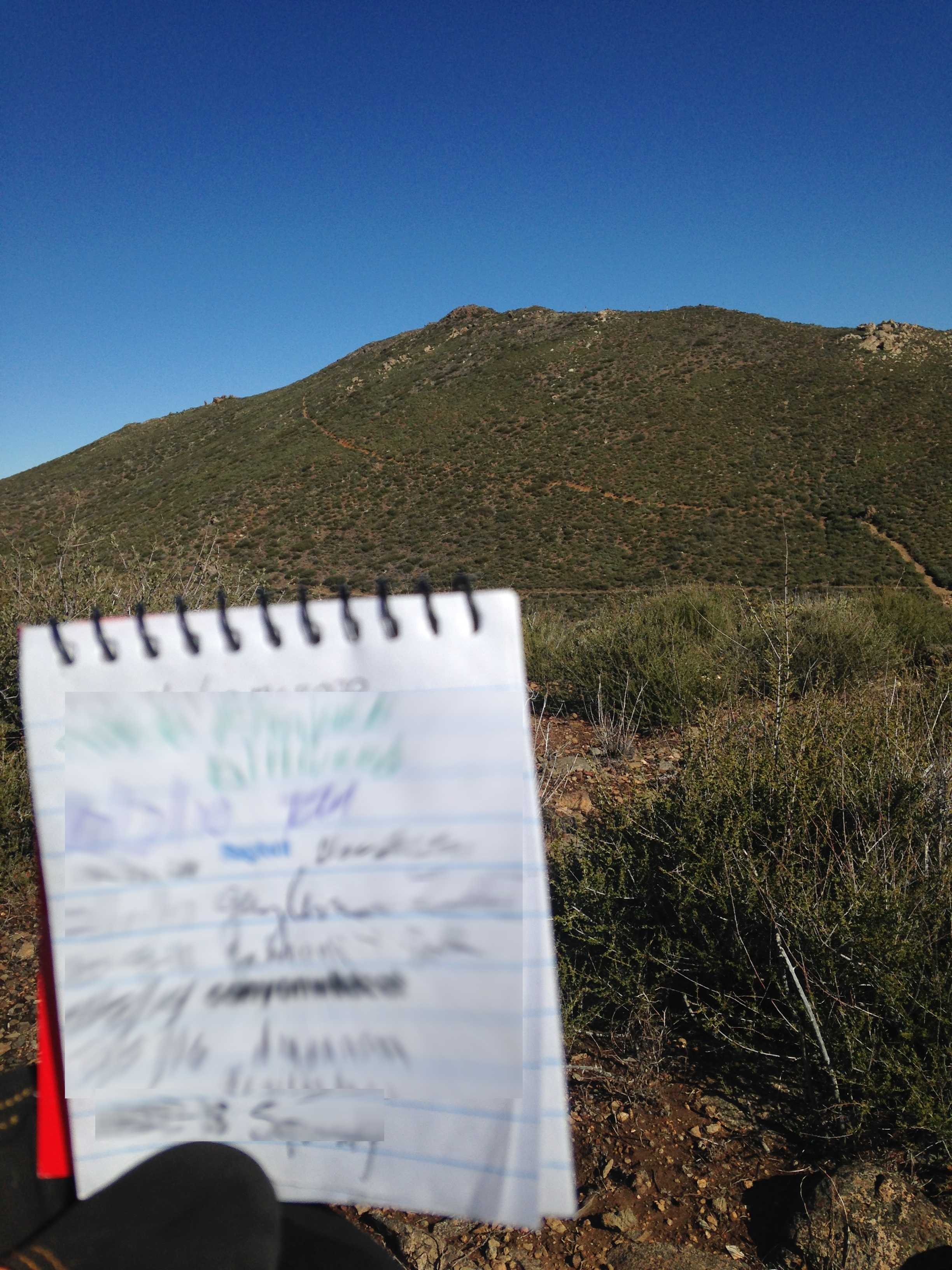
I did not go up Garnet Peak, instead I went to a lower peak nearby where there was a cache.  Here is the log book, blurred, held up with Garnet Peak in the background.


And then I headed home via Cuyamaca highway.

Thanks for reading!


Tuesday, December 18, 2018

ON THE PCT WHERE IT CROSSES KITCHEN CREEK ROAD

Monday we went out to Kitchen Creek Road and parked right where the Pacific Crest Trail crosses. There is a bit of parking lot, and it is a very popular spot on the weekend.

Don't forget that these are just "thumbnails", so clip on the image (if you dare) to see the original picture

You can see the 8 freeway way back there.  Also, the Cameron fire station.  I took this picture for the rock formations, but they do not show up so well.


We called this one "The Castle".


This is a close up of one of the rock formations.


Here is a panorama from one point on the trail.
 

That is all for that, but I found this while looking at Google maps in the Miramar area.


Thanks for reading!

Sunday, December 16, 2018

OUT IN PENNY PINES YESTERDAY

We went up to the Penny Pines area in Mt. Laguna yesterday.  Hiking a bit a long the Pacific Crest Trail and doing some geocaching, too.

Do not forget that these images are "thumbnails", so click on the image to see the full size versions, which might be quite large in file size.  Especially the panorama!

You can see the Salton Sea out there in the haze from this spot.


I took several pictures of the Moon up there in the sky.


We decided that is probably Garnet peak over there.  We will try that one another day!


It's a long long way down to the desert. That is the S2 down there.


An enormous panorama for your enjoyment.


There's that desert again!  And there's that Salton Sea again!


I noticed this quartz in chalk formation, it just seemed odd.


And this right-angle one, how does that work?


That's all I got, first post in many a month!

Search This Blog

About Me

Blog Archive

Followers