I made the find, and sat for a while, waiting for my heart to slow down a bit. Took some pics.
Looking back down the hill I just came up. You can see the trail going back up the other way from the ravine way down there.

I saw a camera flash from atop Cowles Mountain, so I took a flash picture right back at them!

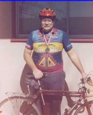
And one of me, with my demi-walking stick, for posterity!

I continued up the hill to where the trail joined the main trail, and hung a left. I continued for a while, then all of a sudden the trail ended! Whoops, that wasn't the main trail, it was the trail to the view point. So I backtracked until it finally met up with the REAL main trail. THEN, I hung a left, and headed towards Cowles Mountain.
I was looking for a multicache, one with a twist. In the cache are the coordinates for a cache in North Carolina. You have to partner-up with someone there whose is looking for the companion cache in NC. Their cache has the coordinates for the final cache in San Diego. You exchange coordinates, and everyone is happy! I made the find, got the coordinates, now I gotta find someone in North Carolina!
I check another cache that I had found in May 2010. I didn't sign the log then, as it was missing. The log, that is. Actually, the whole cache container (back then) was strewn, STREWN, I tells yah, along the trail. I put it back together, but I didn't have a log sheet to put in. So this time, I signed the log. Gotta keep the paperwork up-to-date, you know!
Coming down from Cowles Mountain peak I took a picture, on maximum tele-photo, of the my vehicle parked WAY down there, parked near the Barker Way trailhead.

Lastly, the rangers have put up this rather nifty thing for bikers going down the Big Rock trail.. You grab a bell from the box before you go down, then drop it off in a box at the bottom.

Well, that was about it. I headed on down the road, and then home.
STATS:
Geocaches found: 1
Waypoints found: 1
Old logs signed: 1
Water bottles consumed: 1