I'm not sure where all the photos were taken, exactly. Sorry about that!
This one covers the very tail-end of Sweetwater Reservoir, with La Presa and Dictionary Hill in the middle.

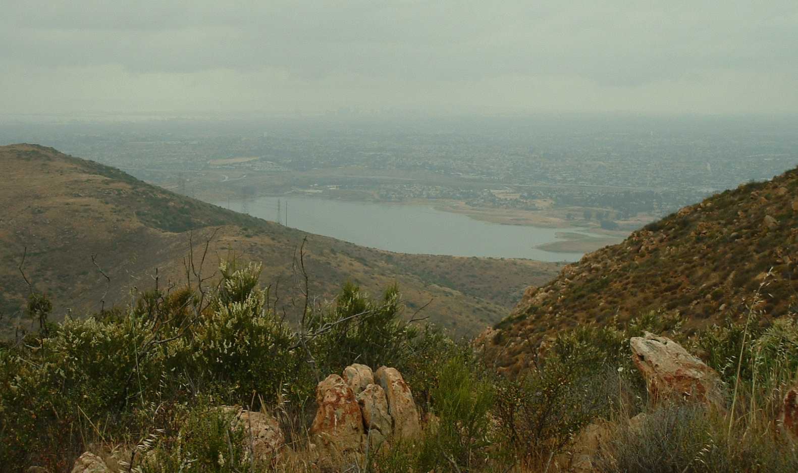
This one is from the same spot, I THINK, looking to the south over the Otay Lakes. Did I mention it was cloudy?

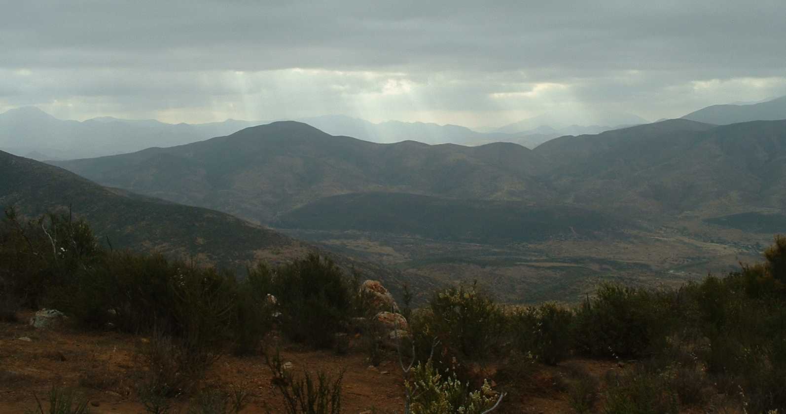
Possibly Proctor Valley Road down there, or maybe not. I took the pic because of: Sunbeams!
A bit higher up we can now see more of the Sweetwater reservoir.
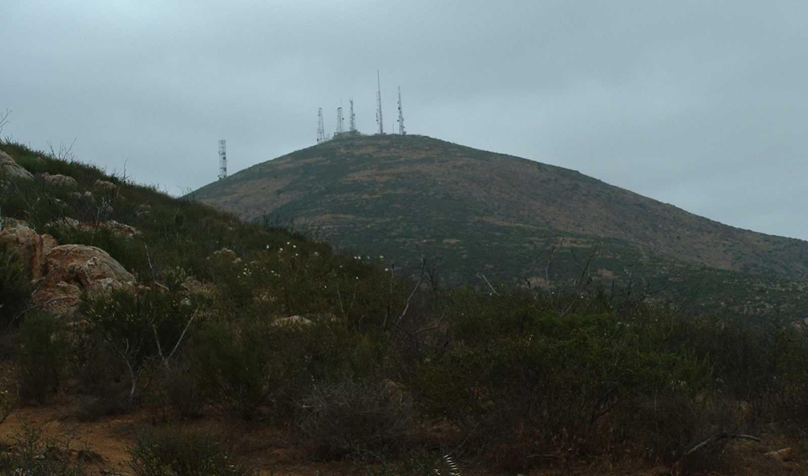
Getting closer to Mt. Miguel, but not as close as one might think. There is still some up hill, then some down hill, then a WHOLE LOT OF UP HILL to get there!
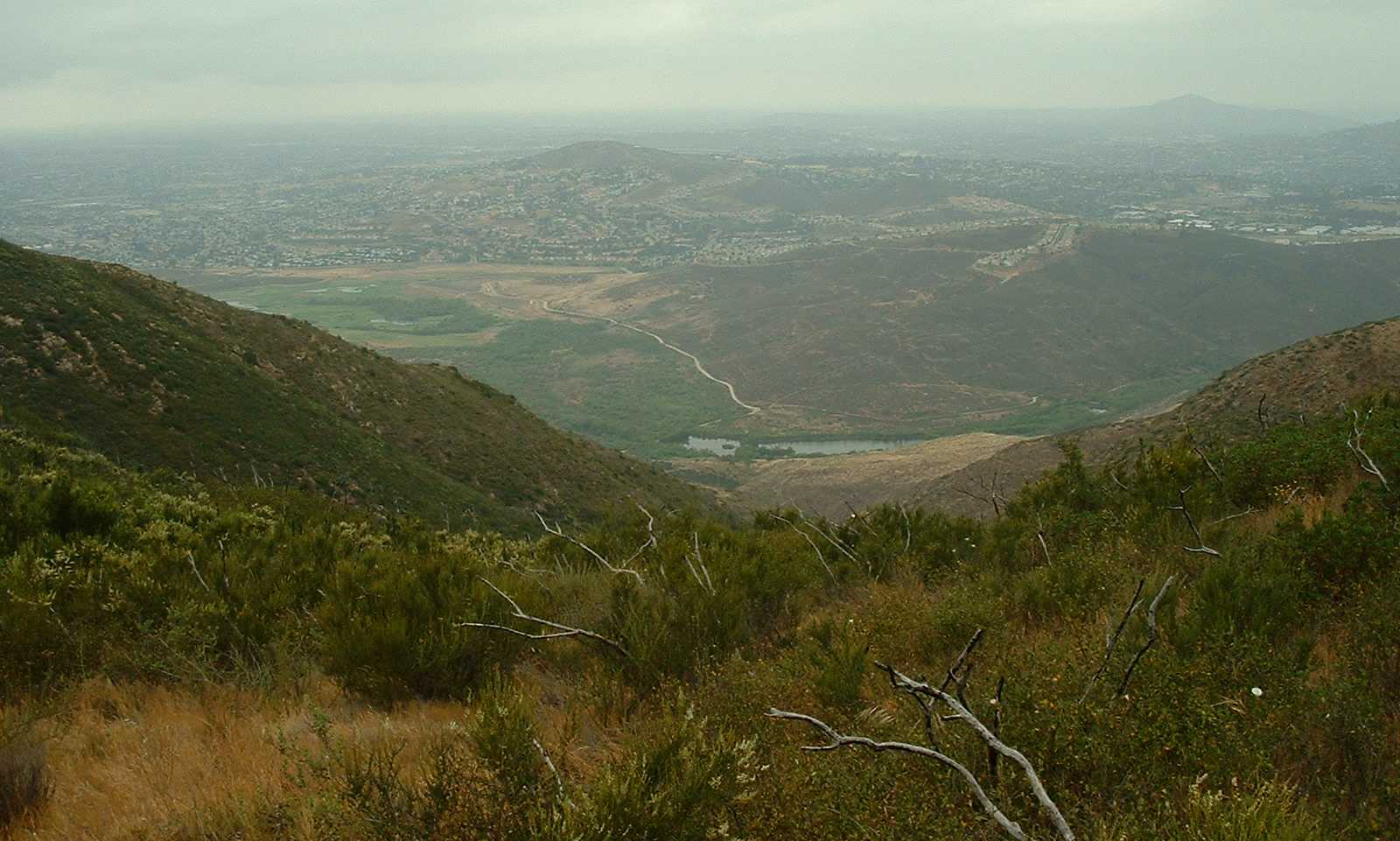
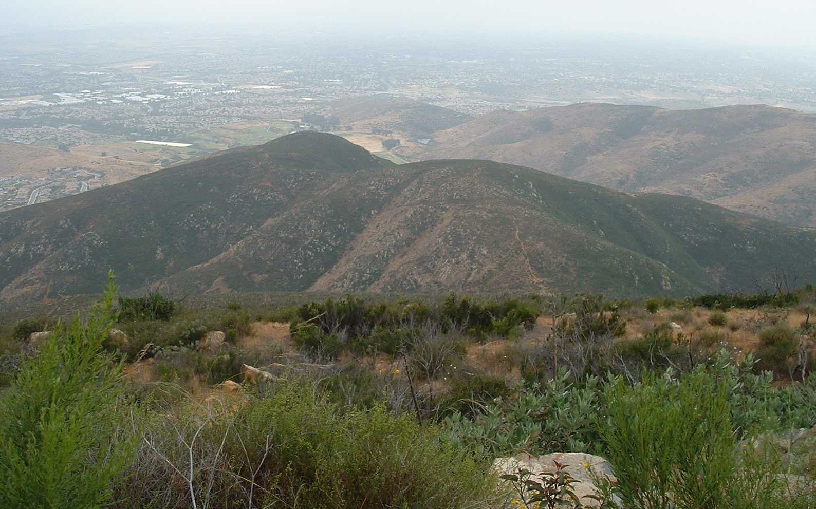
Higher up and a big farther along, we have La Presa and Dictionary Hill again. Hey, I've been on that road down there. No, I was wrong, it's posted No Trespassing, I was on the legal trail on the other side of the fence.
And there's them Otay Lakes again. So much for the much-vaunted views!

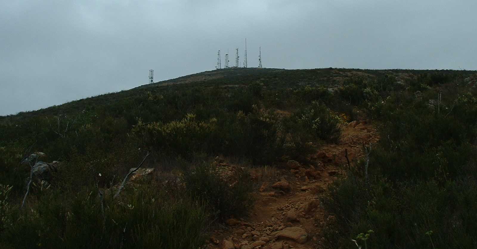
Gosh, I gotta go UP that??
\
The rock lies!
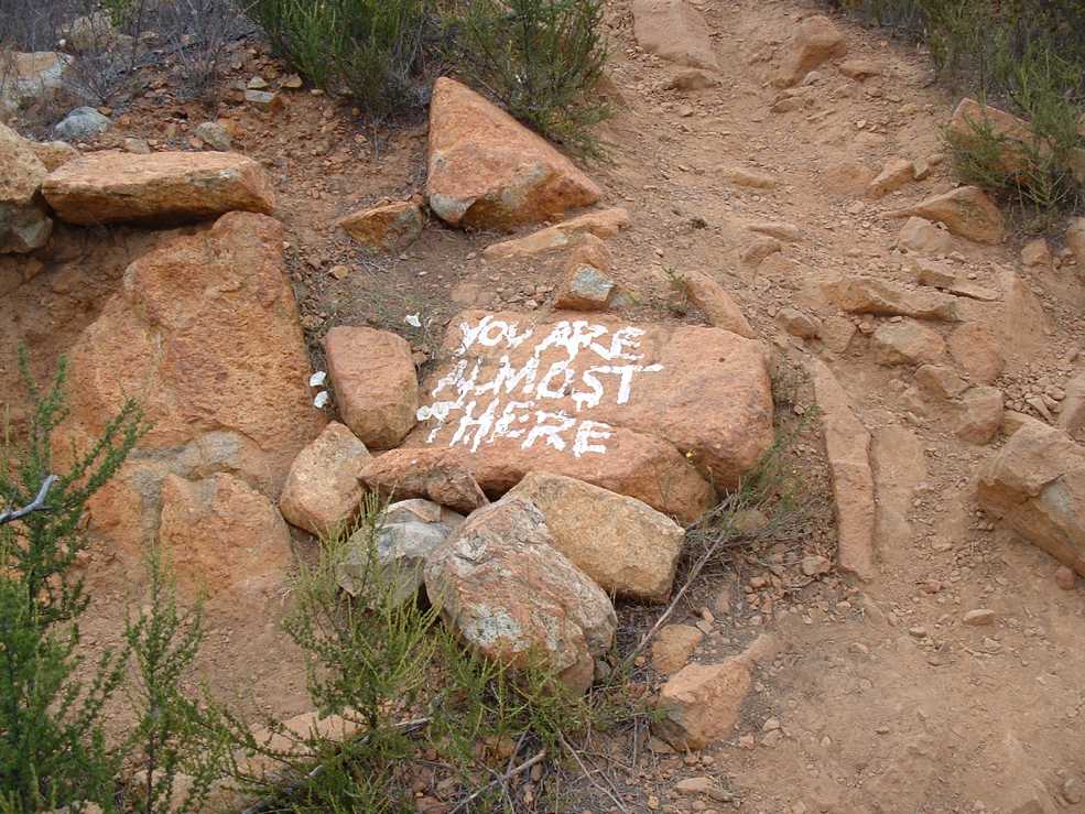
NOW I'm almost there!

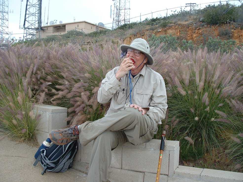
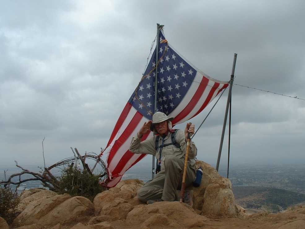
A kindly man offered to take a couple of pics of me at the top.
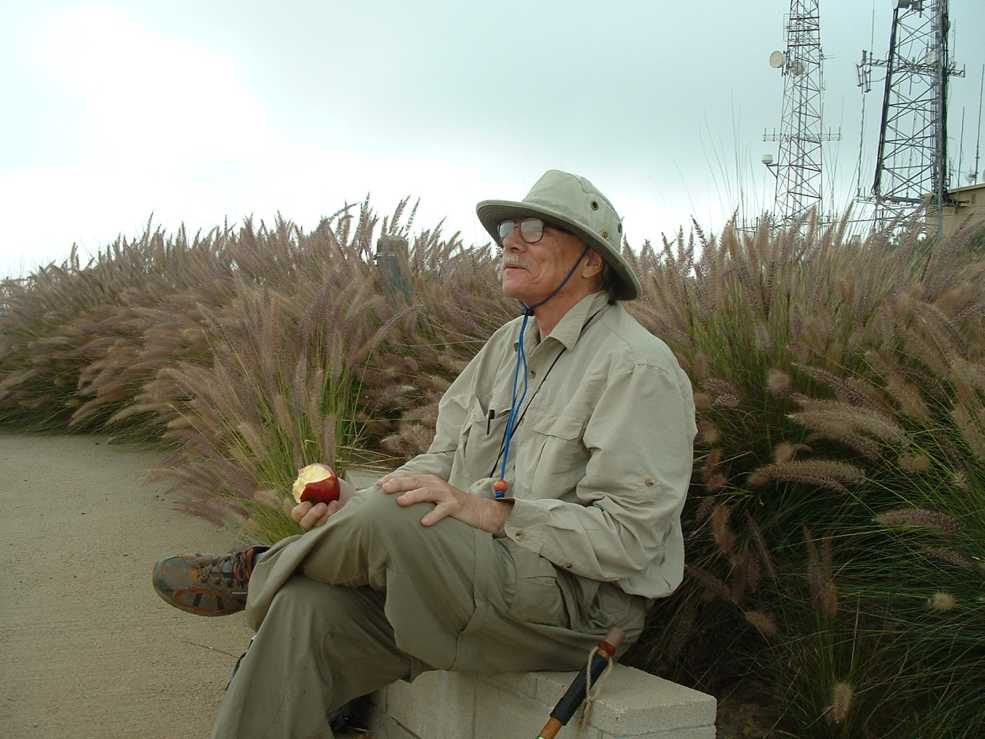
Gazing off into the future, I mean, distance.
Otay Lakes from the top of Mt. Miguel, while getting radiated from all them antennas.

See that trail down there? Yeah, gotta get back down there.
This flag is at the second "peak" in the picture above.
And looking out again at those Otay Lakes again.

From some place on that hill I took this pic, at max telephoto, of the vehicle parked. And you can see the trail heading up the hill. All the other vehicles near mine are hiker's.

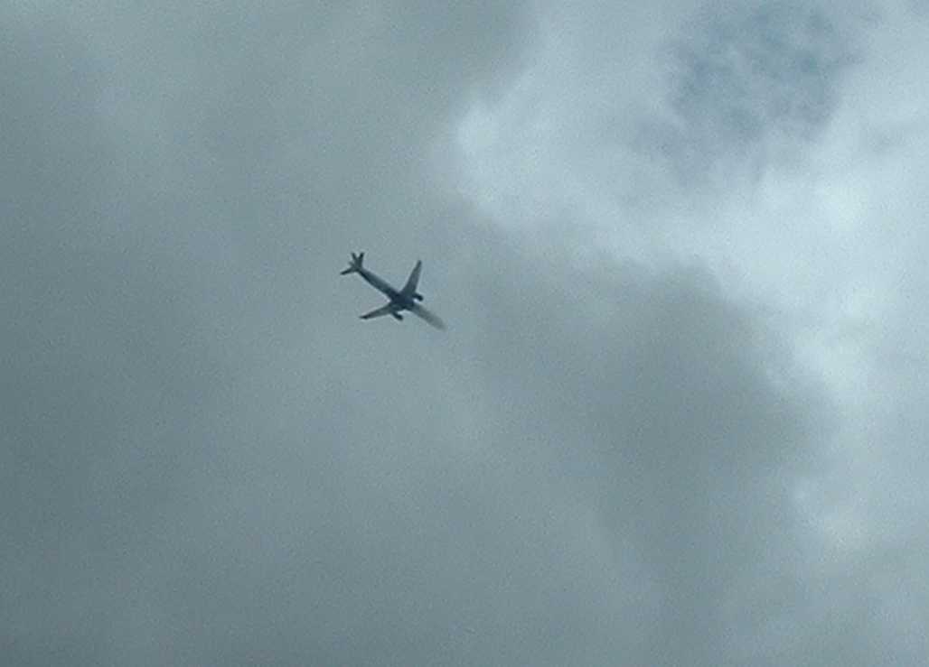
Planes were constantly passing overhead, unseen. As the overcast cleared a bit I began to see them. This aircraft appears to be disappearing into the Twilight Zone.
Found fifteen out of sixteen caches. The one I did not find was OF COURSE the last one, at the top of Mt. Miguel. Round trip distance was either 4.5 or 5.5 miles, I forget which.
I got home around 12:30 PM. Took a shower and washed the clothes. And the my shoes. Which stink.
Then my son came over and we went to the local Thai restaurant and had a very nice lunch. Then he took me grocery shopping, and I bought some jasmine tea.
Then I came home and fell asleep.
No comments:
Post a Comment