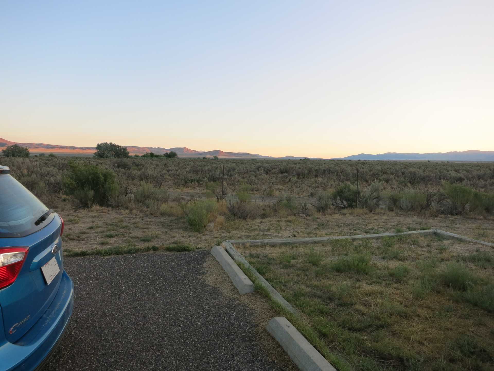
Before sunrise I took some pics of the area. Lots of noisy birds out there in them bushes.
Very pretty watching the sun come up, then, WHAM, laser beams in your eyes!
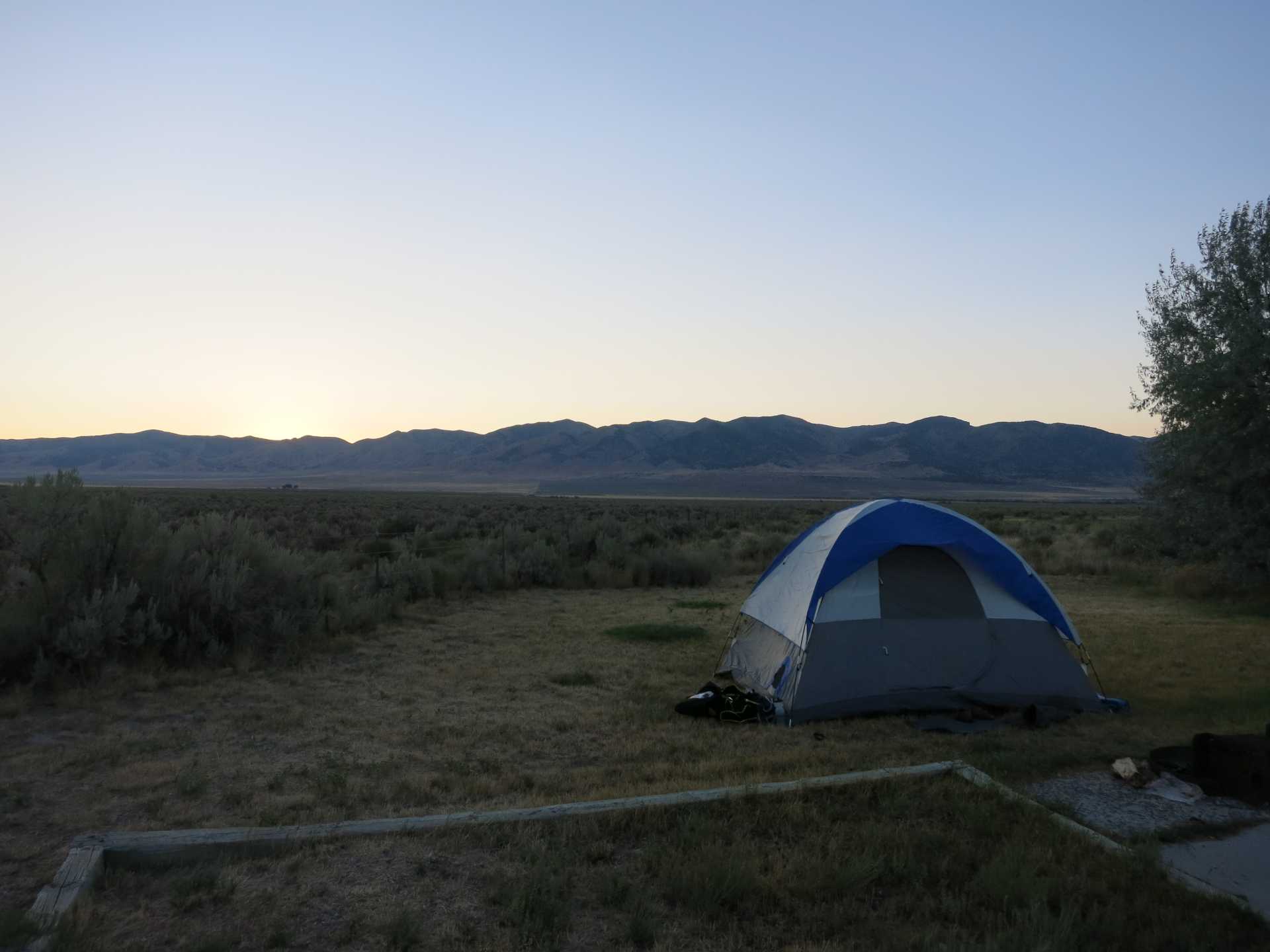
I had my tent on the concrete, mostly under the awning, until I noticed that the awning had wasps.

I am not sure what the "square" is for, but it is rocky and bumpy. Surely not for tents?

A bee really liked my yellow tent parts, and would NOT leave!
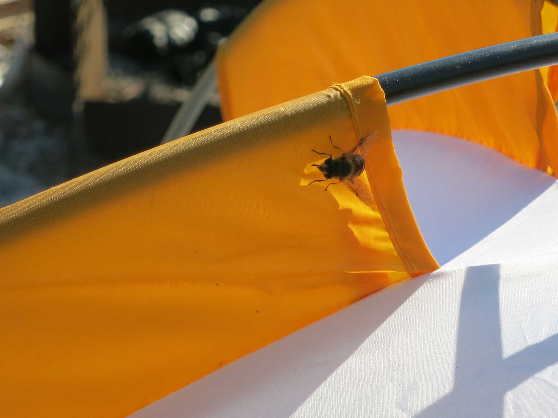
Close-up!

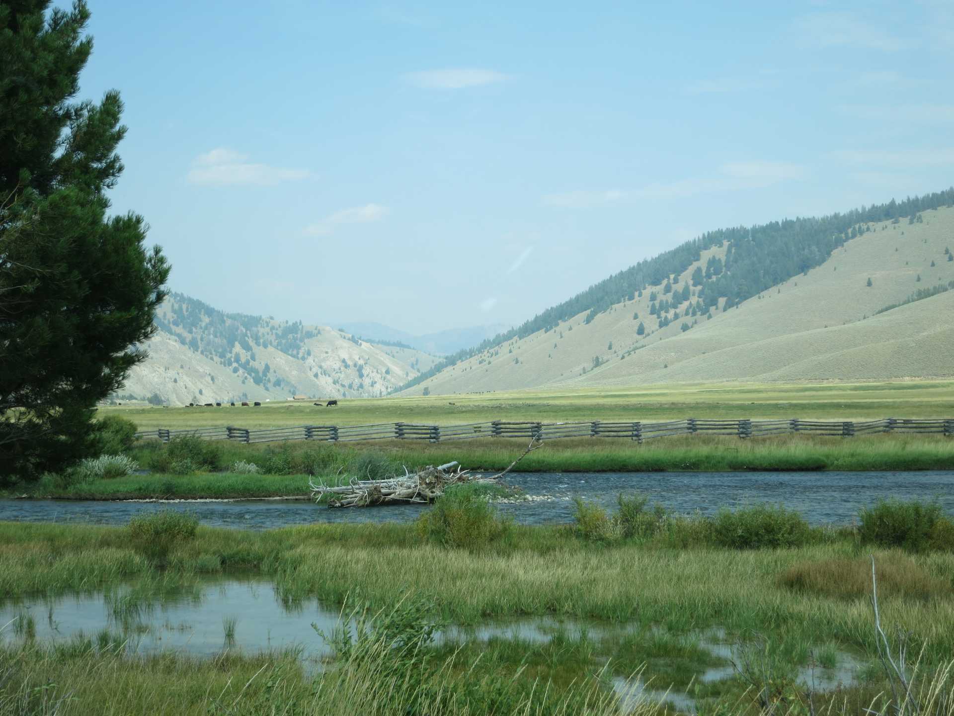
We drove up into the Sawtooth National Forest to look for campsites, but they were all filled, as far as we could see. We stopped right here, along the Salmon River, to stretch our legs. After I took the picture a fisherman came along and started casting his line.
We headed over to, and stopped at, Lower Stanley. We had passed the Stanley Museum, which seemed to have tents on its lawn. Huh. We turned around and went back to check it out. Sure enough, we could pitch a tent for twenty-five bucks a night. Three nights, two tents, one hundred and fifty dollars. No water. Portable toilets. Green grass (rocky and VERY HARD ground, as it turned out). OK, we went for it, everything else was FULL!! We paid our money, then set up one of the tents. Or rather, TRIED to set it up. The WIND kept collapsing it. It was ridiculous, so we called Greg (who was back at Curlew Campground, guarding our stuff) to tell him to stay there, we were coming back. Matt got a refund, and made a donation to the Museum for their trouble. 'Cause they were very nice and helpful, but it just wasn't going to work out.
Here is a ham radio antenna I noticed on a truck parked at the museum.

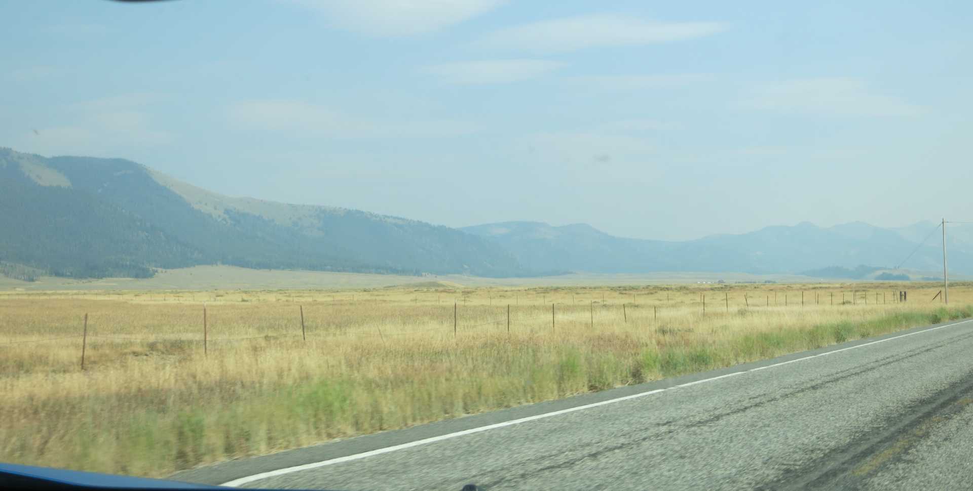
We headed back to Snowville (Utah) area along highway 75 here. I took pictures of the smokey views, the clouds, and possibly some snow.

Smokey!

Looks like the California highway 101 area.

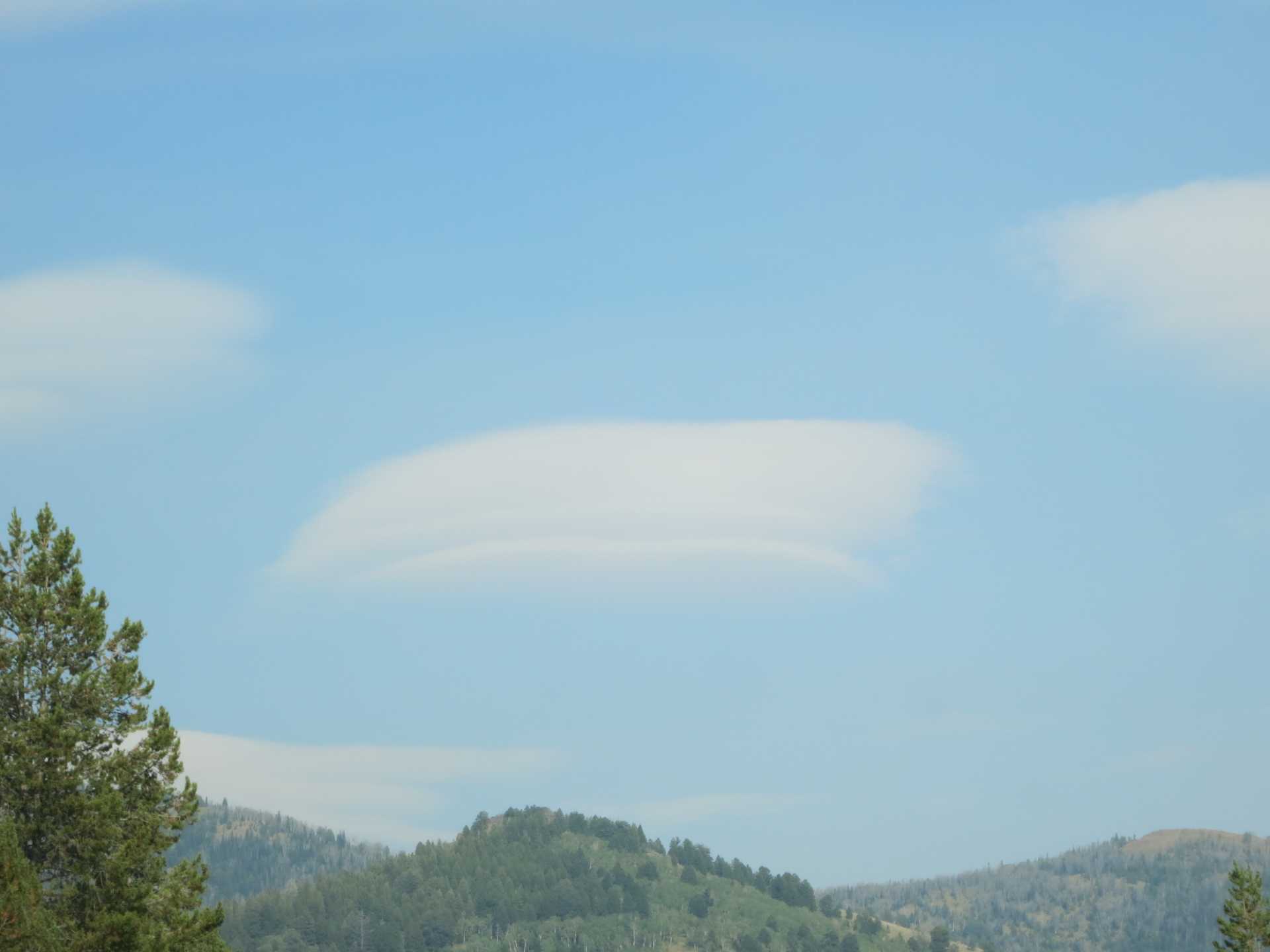
Lenticular clouds?

Looks like pockets of snow in those mountains, but can it be?
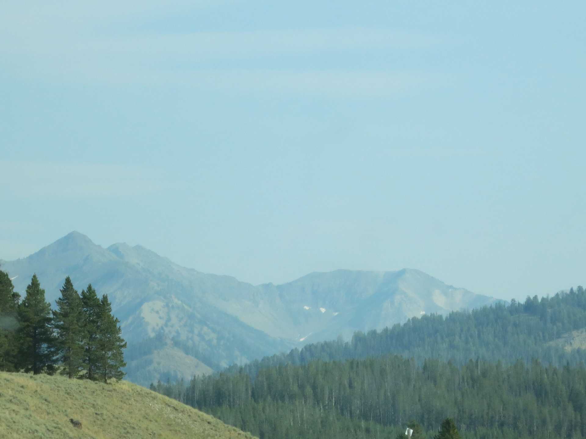
That mountain looks familiar...

Now THAT is pretty lenticular!
I think I took this picture at the Galena Summit Overlook. That is the valley we came through in the previous pics.

That's just GOTTA be snow! Or a couple of giant water slide!

I didn't take any more pictures, but there was a lot of interesting stuff to see along the way. I would have liked to spend more time at the Stanley Museum. The town of Shoshone looked very historical, with its many old buildings.
I saw signs for West Magic. Sounds interesting! Also, lava caves, that would have been good. Another time, maybe!
The mileage for the day was around 246 miles each way, so that adds up to.... 492 miles, right? I am sure glad I wasn't driving!
No comments:
Post a Comment