Matt came and got me to go geocaching at Pt. Loma because I needed a earthcache-type today to get a virtual sticker on my geo-profile page, ain't that precious?
I took this big boy from the opposite end of that picture I took at the View above the Otay River Valley yesterday. The difference you could see HERE from THERE (sort of), but you can't see THERE from HERE.
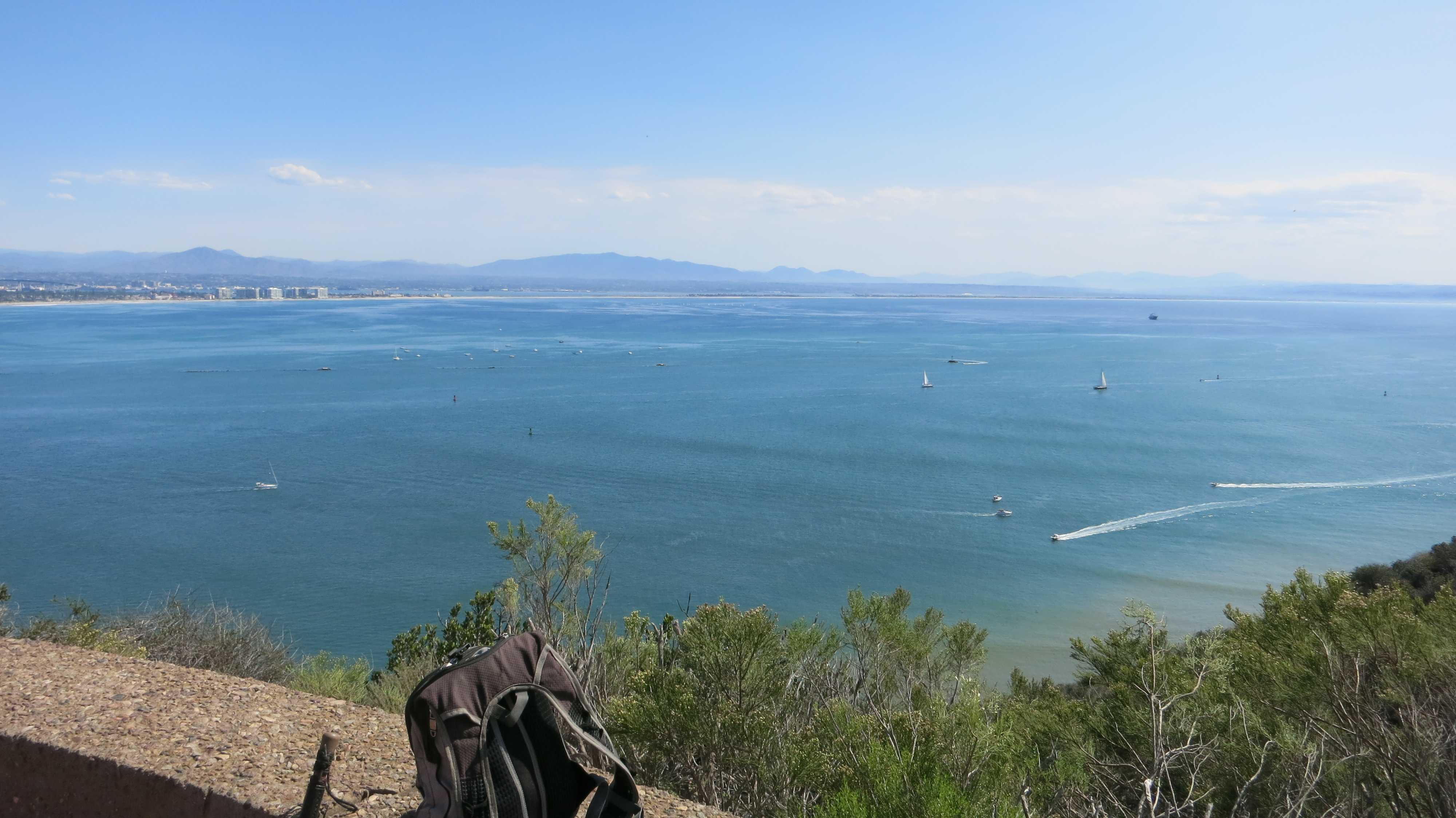
We hiked down the LONG Bayside Trail to the bay side. Didn't see any snakes. Did not see too many people, either. There were lots of boats in the water, and a few surfboards and few kayaks. I took this picture from the bench near the end of the trail.

This is right at the end of the Bayside Trail, looking west up towards Cabrillo Monument. Matt is taking pictures of bees.
This is also right at the end of the Bayside Trail, but looking east towards Coronado/Silver Strand.

Now it's time to head back UP that hill, four hundred feet of vertical climb, I'm told! But first, we gotta do the geocache!
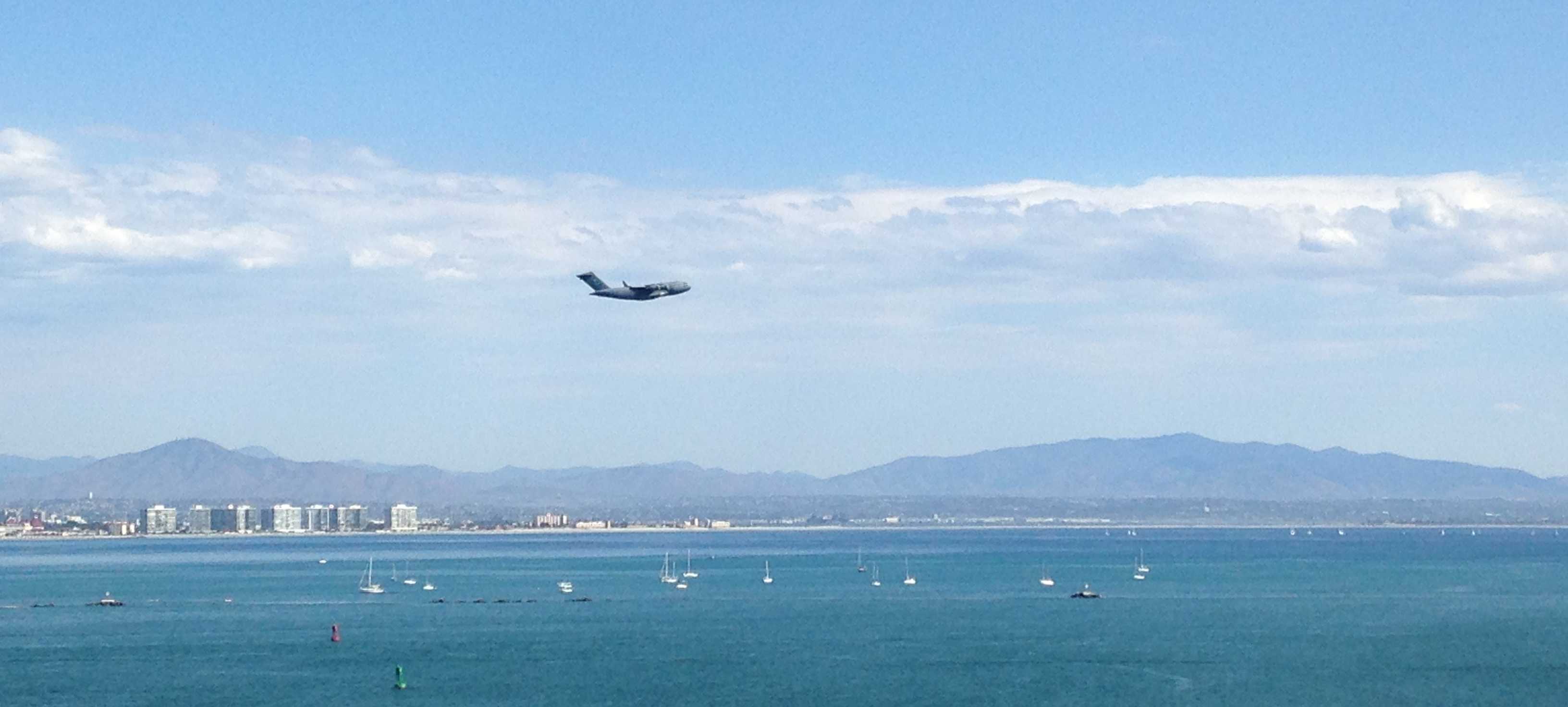
Saw this BIG JET taking off from North Island while we were heading back up the trail. I think it is a C-17 Globemaster III.
We also saw this sailing craft, except this was taken on the way down, not the way up. We also saw it on the way up returning to the bay, but I didn't take a picture of THAT. Matthew did, though. Check out his pics HERE!

The earthcache was all about geology of Pt. Loma. I don't know if we got all the answers correct, though. I took this picture of a scary sandstone formation.

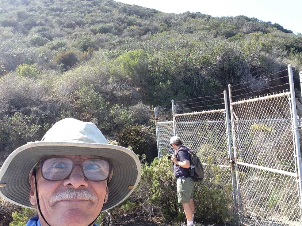
I do not know why this is so blurry! We are quite a bit farther up the trail, past the old generator building (currently the workshop of two artists-in-residence) and not quite to the old searchlight "shed". We are looking across the ravine to the geologic area where we tried to figure out the answers to the geocache questions.
My last picture from this side of Pt. Loma. I don't know why all those boats are sitting there on the east side of Zuniga jetty, is that where boats park when there is no room in the harbor?

After much resting at the top we made our way back to the car and Matt drove us down to the tide pool area where there was another earthcache. This one was also about geology of Pt. Loma. My favorite subject!
Looking south, we got tidepools. Look at all that erosion!

Several other geocachers had the same plan. Being oblivious I didn't even notice them milling about till they called my name. We posed for a selfie, which I have take the liberty of "borrowing".

Look at my shoulders, they are more slumped than usual. We were pretty beat and sun-damaged by this point, so we took off and headed for something to eat, finally deciding on In And Out, a place I can never remember how to spell. It was really crowded, but the food was so good!
That is about it, thanks for reading! And don't forget to visit Matt's picture pages above for more more more pictures of our adventure today, including pictures of BEES!!!
No comments:
Post a Comment