Mostly September, but one August that I forgot to post last month.
Please remember these are all thumbnail images. The original hi-quality (well, larger, anyway!) images can be accessed by clicking on the thumbnail image.
August 17th
I heard some banging around, and voices, so I went out side to see these guys up in the air!
Sept. 11th
I got a free trackable number for participating in a geocaching event, so I put it on this old cell phone, and I shall send it out into the world. Some day. I printed the number and some identifying words on a piece of paper and slipped it behind the glass on the display. I did this after taking the picture. Just try to imagine it...
September 12th
Someone posted something on Fark.com about their ham radio equipment, so I was gonna post about having an antenna in my bedroom, but I forgot which discussion it was in, so here's the picture.
I was looking at Google 3D Maps and it was VERY slow to load, and it looked amazing weird. Like after a hurricane, or a great disaster. So this is Pacific Grove, California.
September 12th
Someone said they were visiting the Space Needle in Seattle, and so I had to post my stamps.
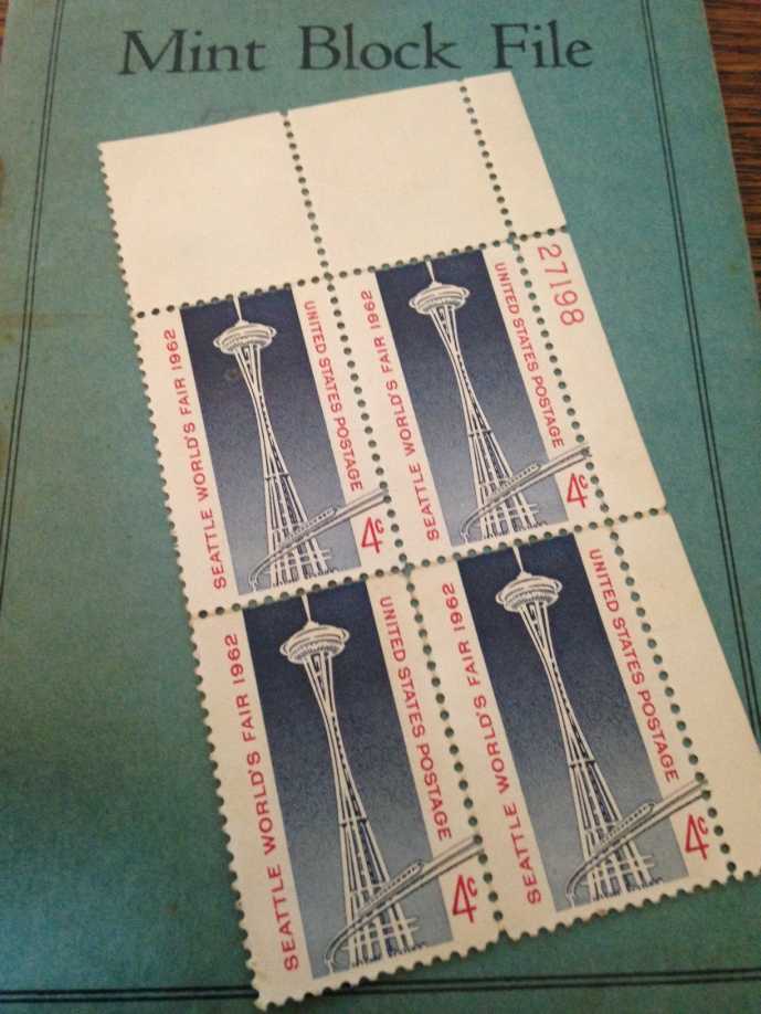
And I found my crummy stamp "tongs" out in the garage, and so had to take a couple of pictures trying use them. But they are VERY crummy!
Four-cent stamps, remember them?
September 14th
I watch this person almost park their car. They bounced off the concrete curb there a couple of times, too.
September 16th
I finally found the tweezers that I got in my grandfather's stuff when he passed away. I wonder if I can get them re-plated?
JUST before I found it, though, I ordered some more tweezers and other stuff to fix the cell phone. Or else break it completely!
September 18th
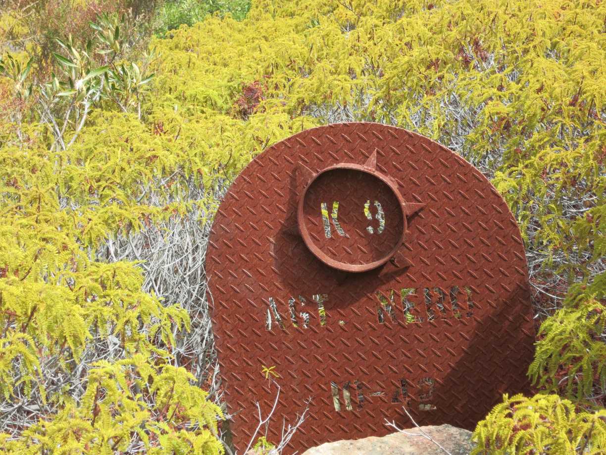
I went geocaching after the oncologist visit today. I spotted these in a bush, but they were too crummy to take. Found the cache on the other side of the bush. Eventually.
When I got home the mailman came and delivered the stuff I ordered on Saturday. That's 48 hours later. Amazing!
Here we see the three tweezers and a drill index, full of tiny drills bits. I couldn't get the drill index open at this point.
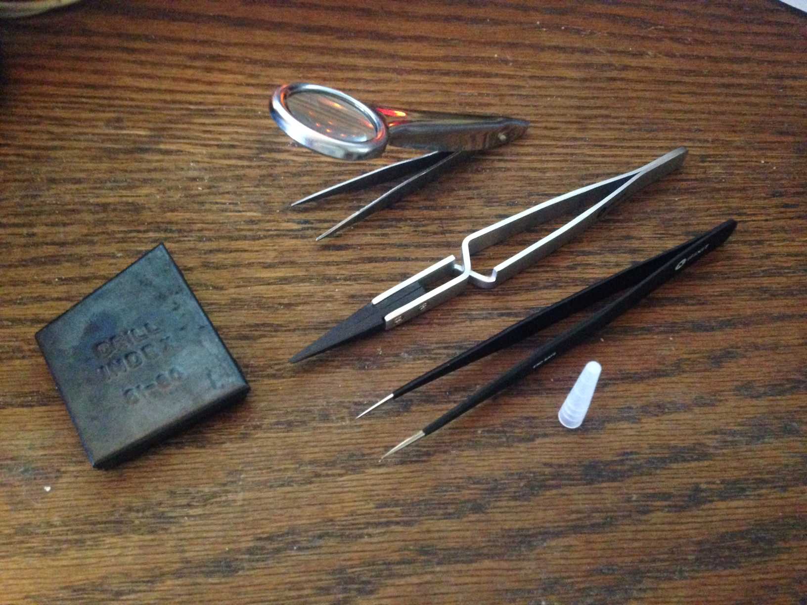
Here is the replacement part for the Home button on the cell phone, with the tweezers' point for scale.
I finallly got the drill index open, so here it is, with one of my pin vices that holds the bits for drilling, and the obligatory tweezers for scale.
And that is about THAT!
Thanks for reading!
It's not JUST about what I had for breakfast...
Monday, September 18, 2017
Saturday, September 09, 2017
Mostly September
This blog post is ALL about September. Except for this pic, which is from August, at a geocaching event.
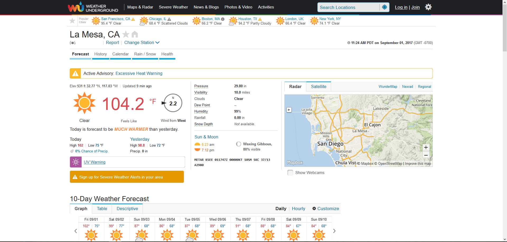
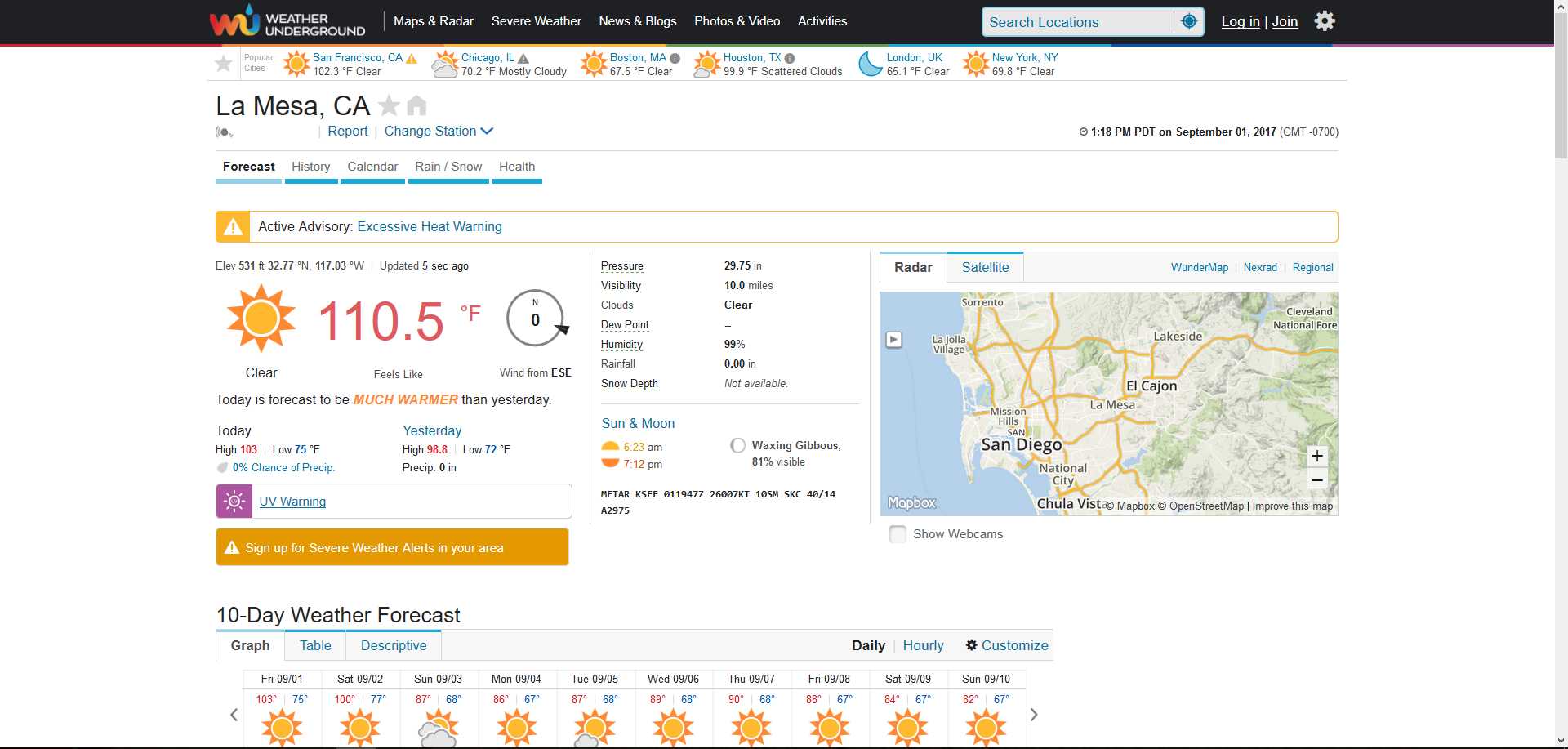
We had QUITE a spell of warm weather when a tropical something moved through. I took several screen shots to document the horridity of it.
September 1st at 11:24 AM
My humidity meter seems stuck on 99%
September 1st at 1:03 PM
It was pretty darn hot and humid, but I'm not QUITE sure it actually reached 114 here. No one else that anything QUITE that high. Close, but not QUITE.
September 1st at 1:38 PM. A little later than the next pic, but I'm too lazy to fix it!
September 1st at 1:18 PM
September 2nd, at 3:14 PM
September 3rd. Here we see the weather record for short period, showing the temperature drop as the rain level goes up.
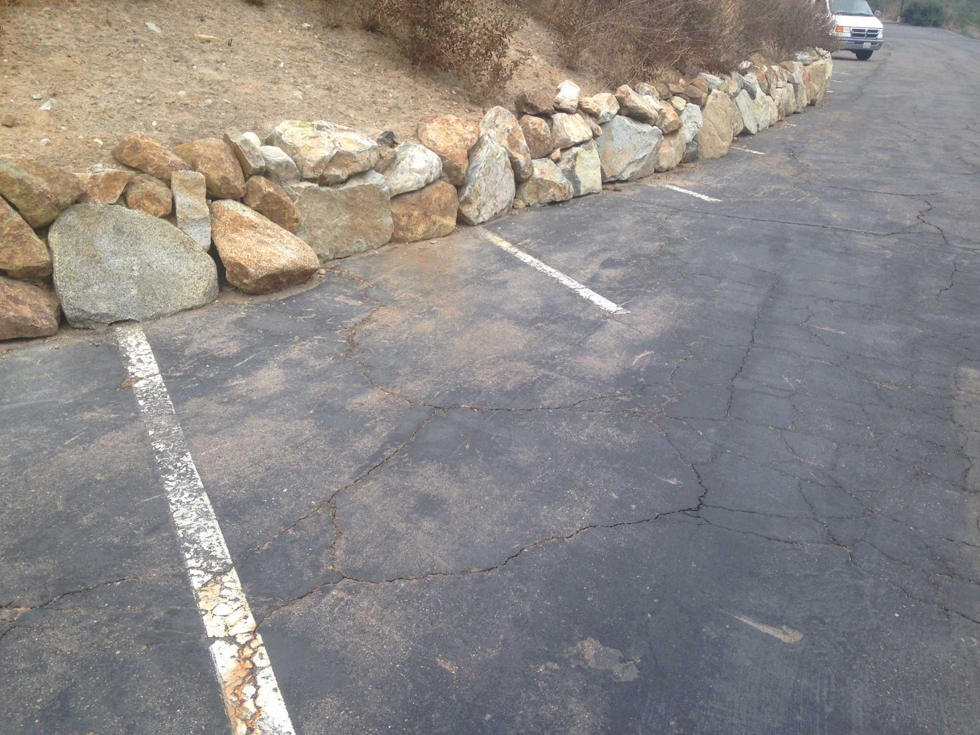
Parking spaces for very short cars? I saw this geocaching, in Mission Valley-ish.
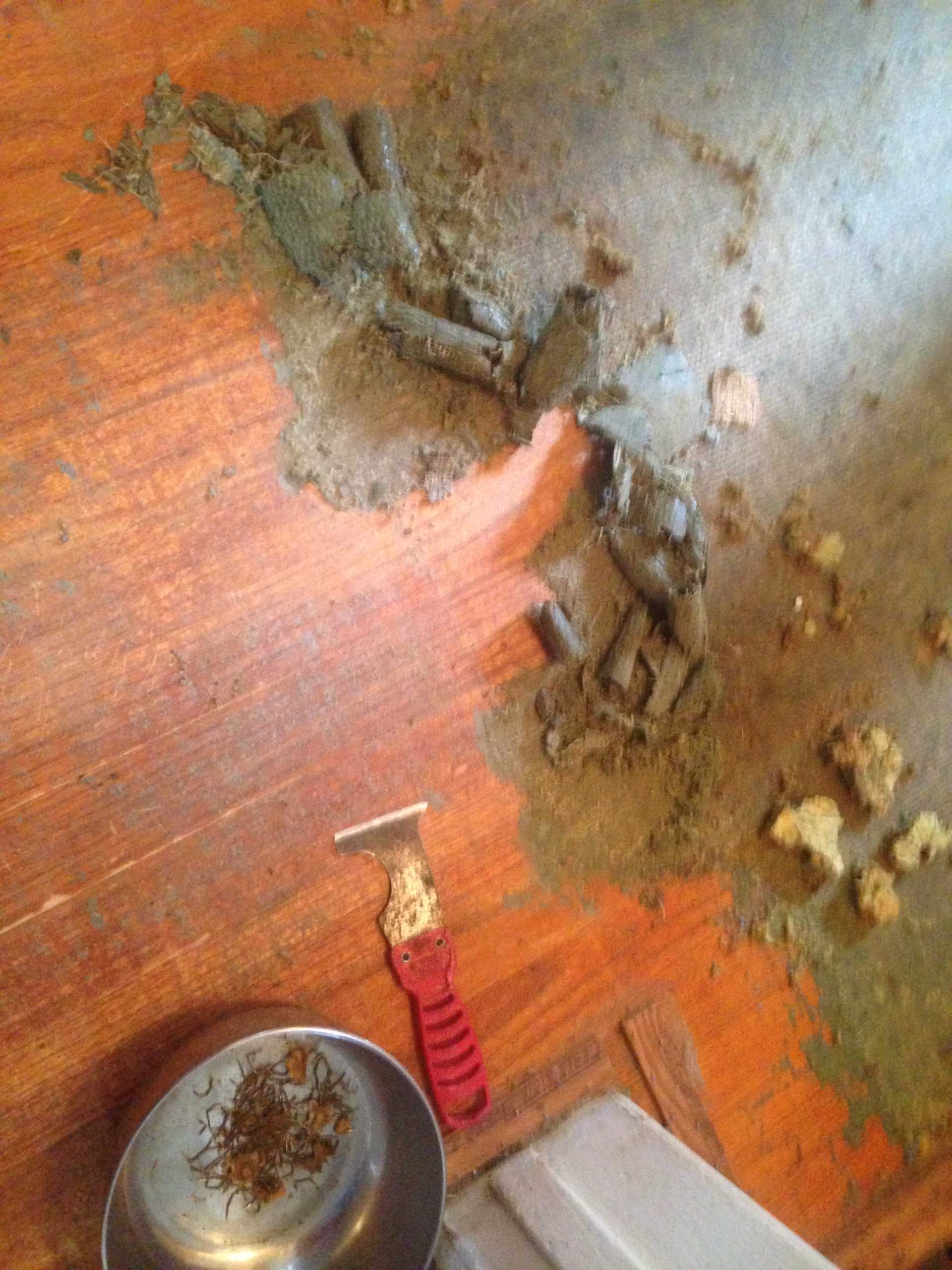
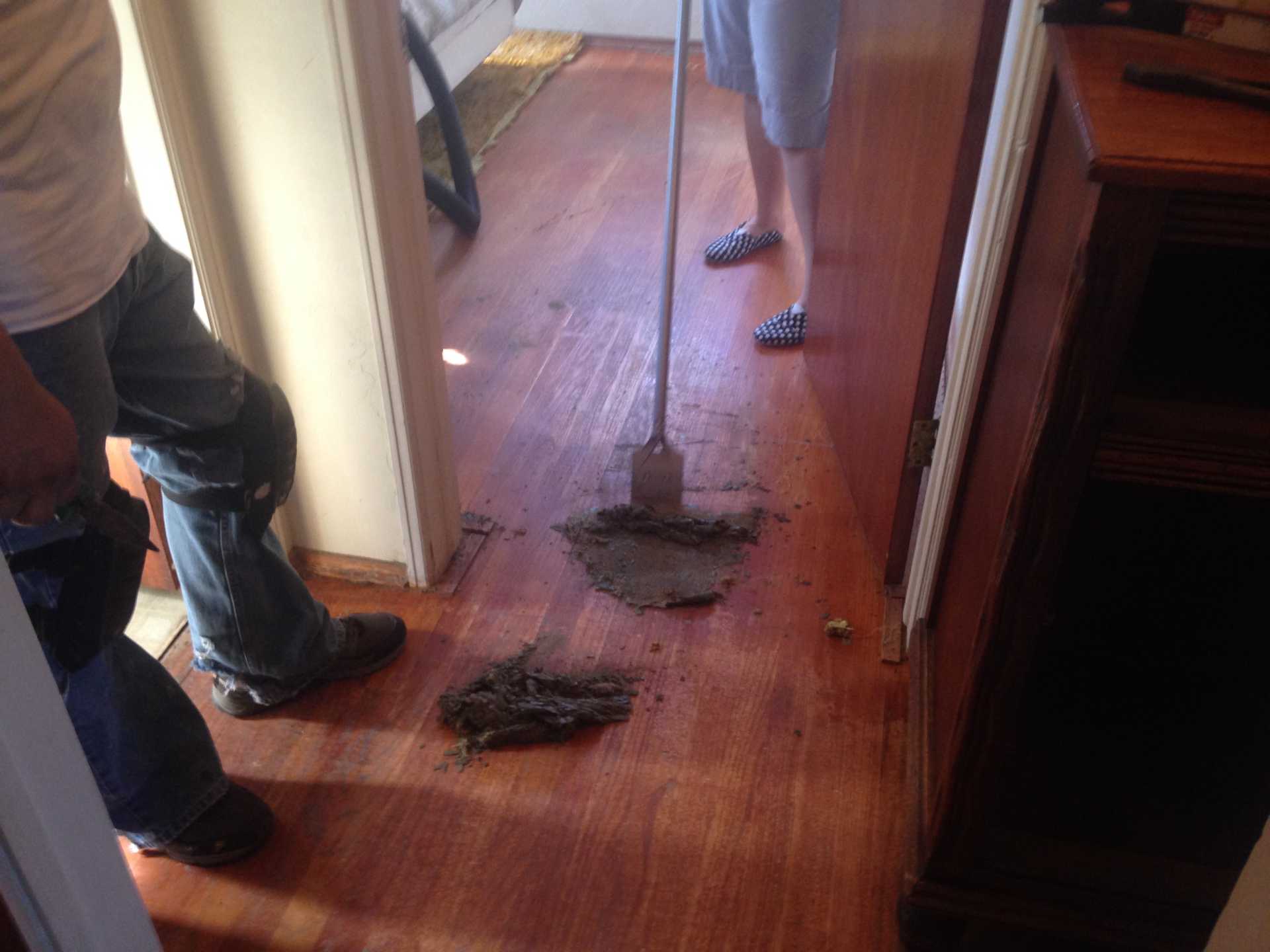
Removing the old carpets revealed this stuff stuck to the floor, quite securely. A LOT of work to remove it, not to mention all the staples and nails, some broken off.
Fortunately the bedroom had a lot LESS of it. Almost none. What a relief!
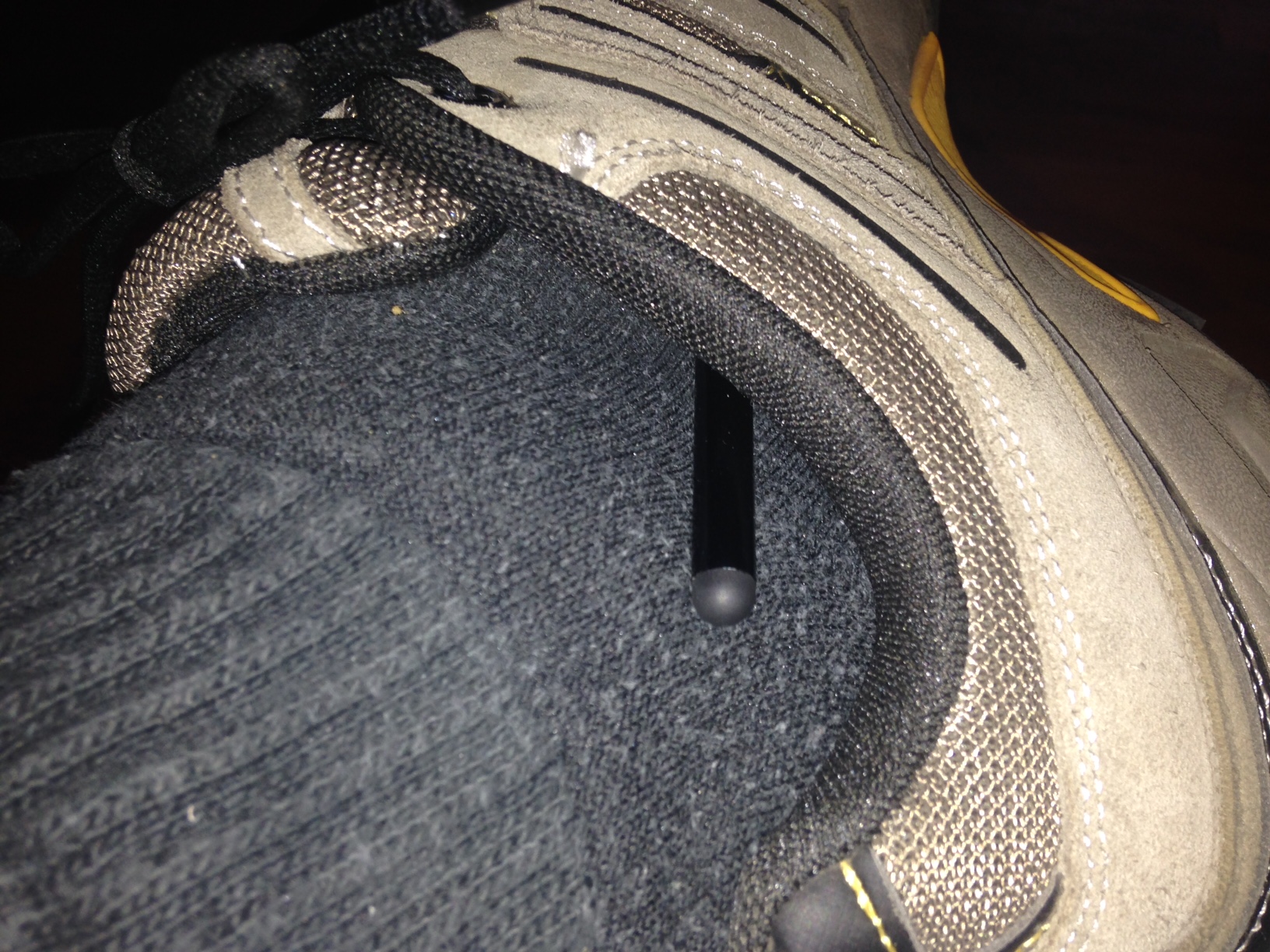
I walked around all morning Thursday with a touch-screen stylus stuck in my shoe. So THAT'S what that lump was!
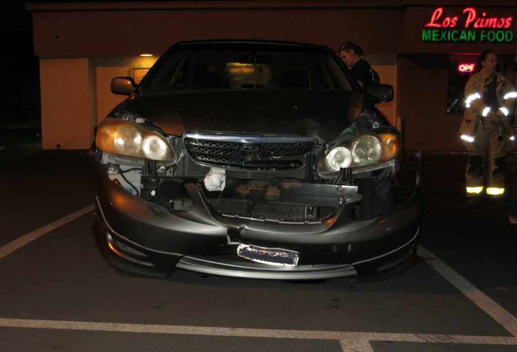
A chain reaction collision at Los Primos. This car was unlucky enough to be behind a truck, and in front of the person who managed to push three vehicles into each other.
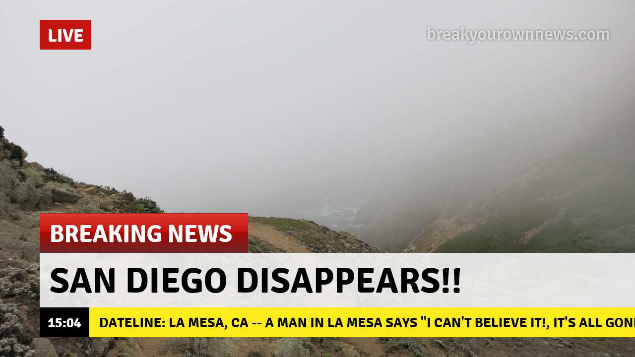
OK, I made this because someone re-posted something about sharks in hurricanes that was created at the same website, you can see the watermark. I can make fake news too!
The background is really a picture I took at Pt. Reyes a couple of years ago. It's foggy there.
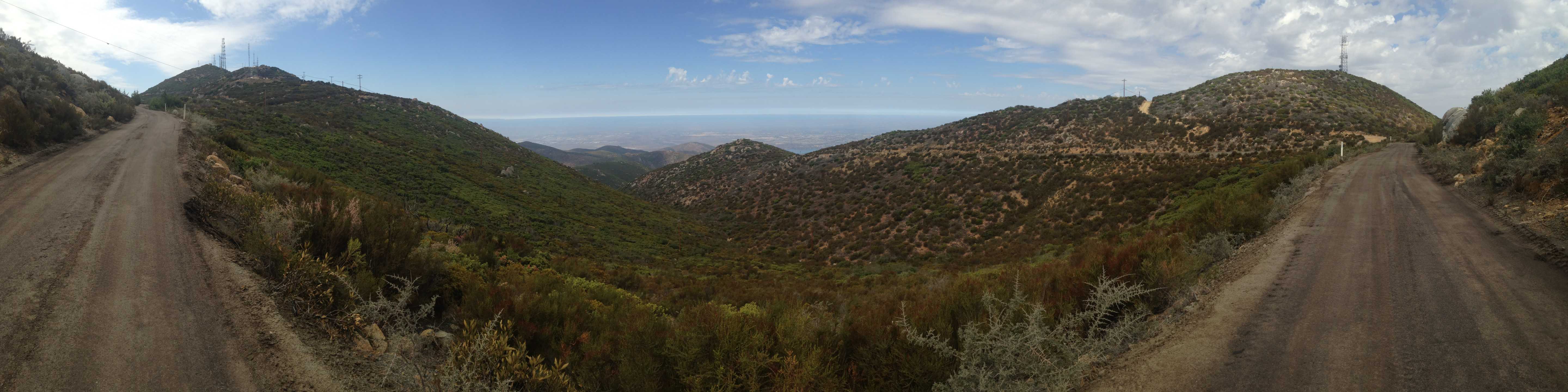
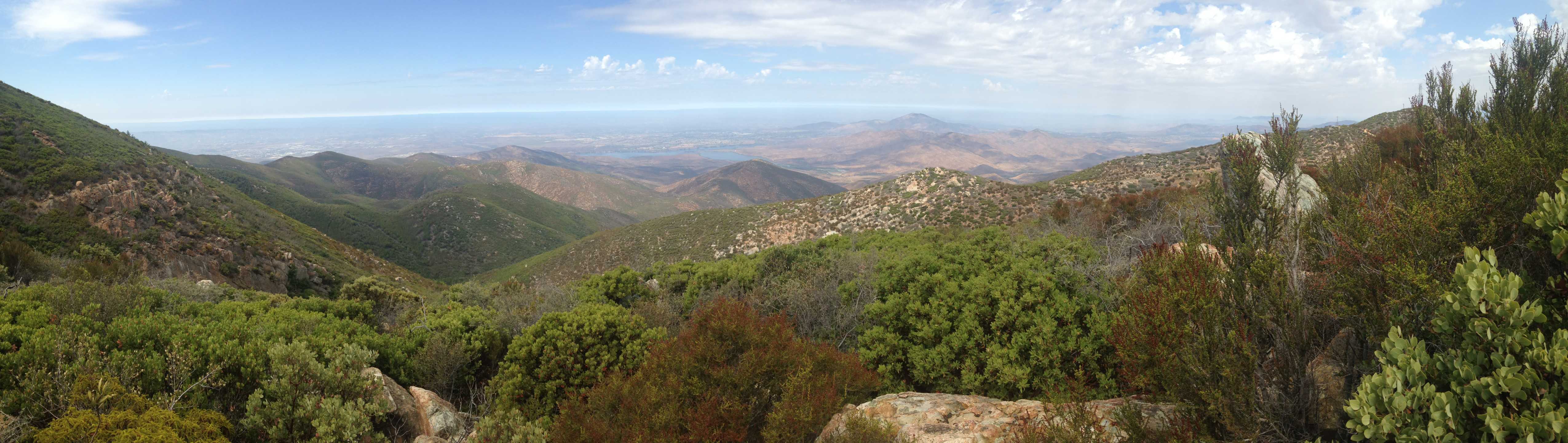
I drove out to Mt. Otay today. My first time driving up there. I only realized the other day that it was even possible to drive up there. In a truck, anyway. If one had 4WD one's horizons, as it were, could expand even farther. Or further. I forget which.
I parked at Doghouse Junction (about 200 feet shy (vertically) of the summit) and walked around a bit, looking for three geocaches, and taking some pictures.
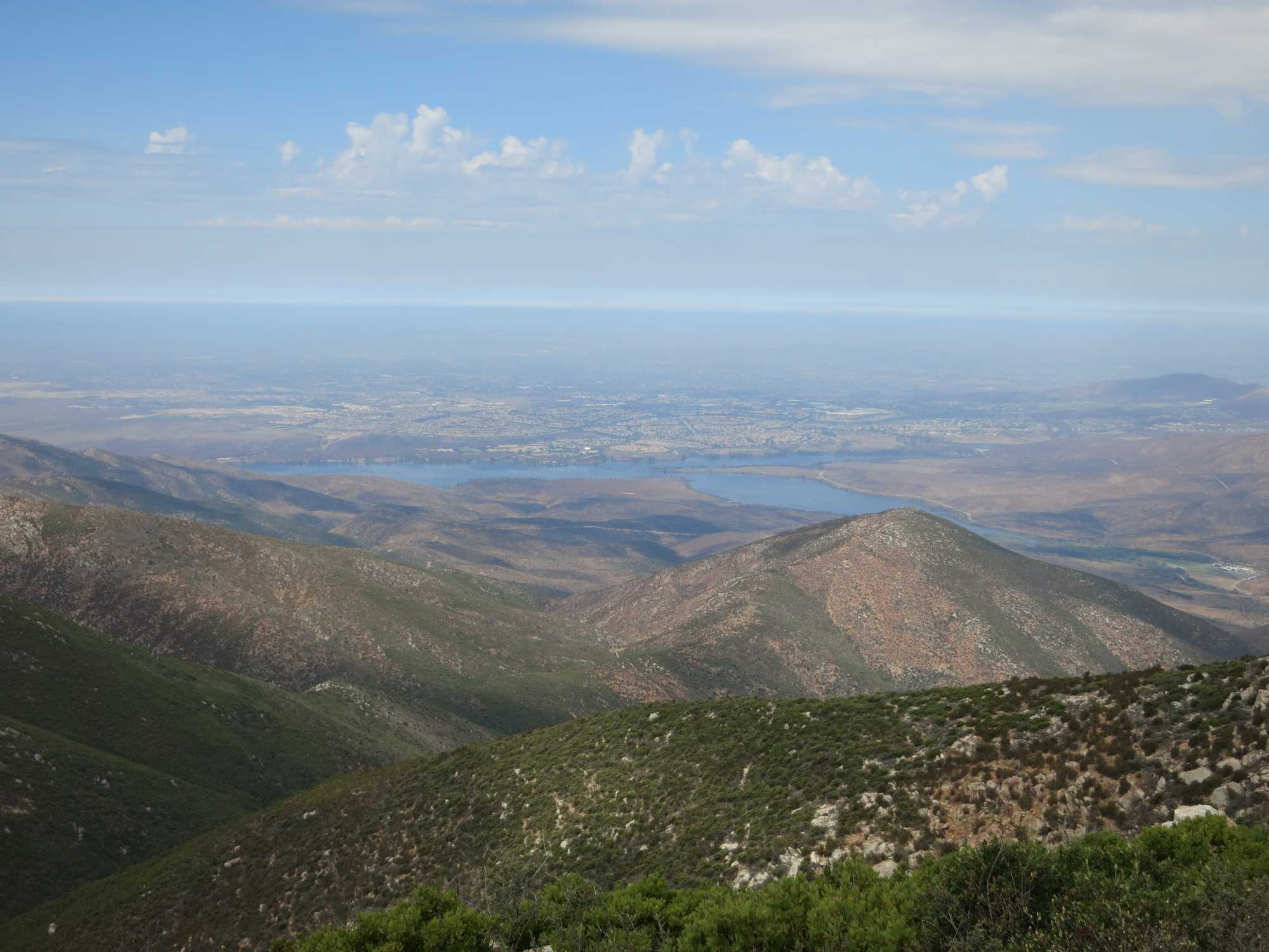
So here we see Lower Otay Lake. We can see the Pacific Ocean out there. Or we could, if it was a clear day.
This one is more to the south, towards Otay Mesa.
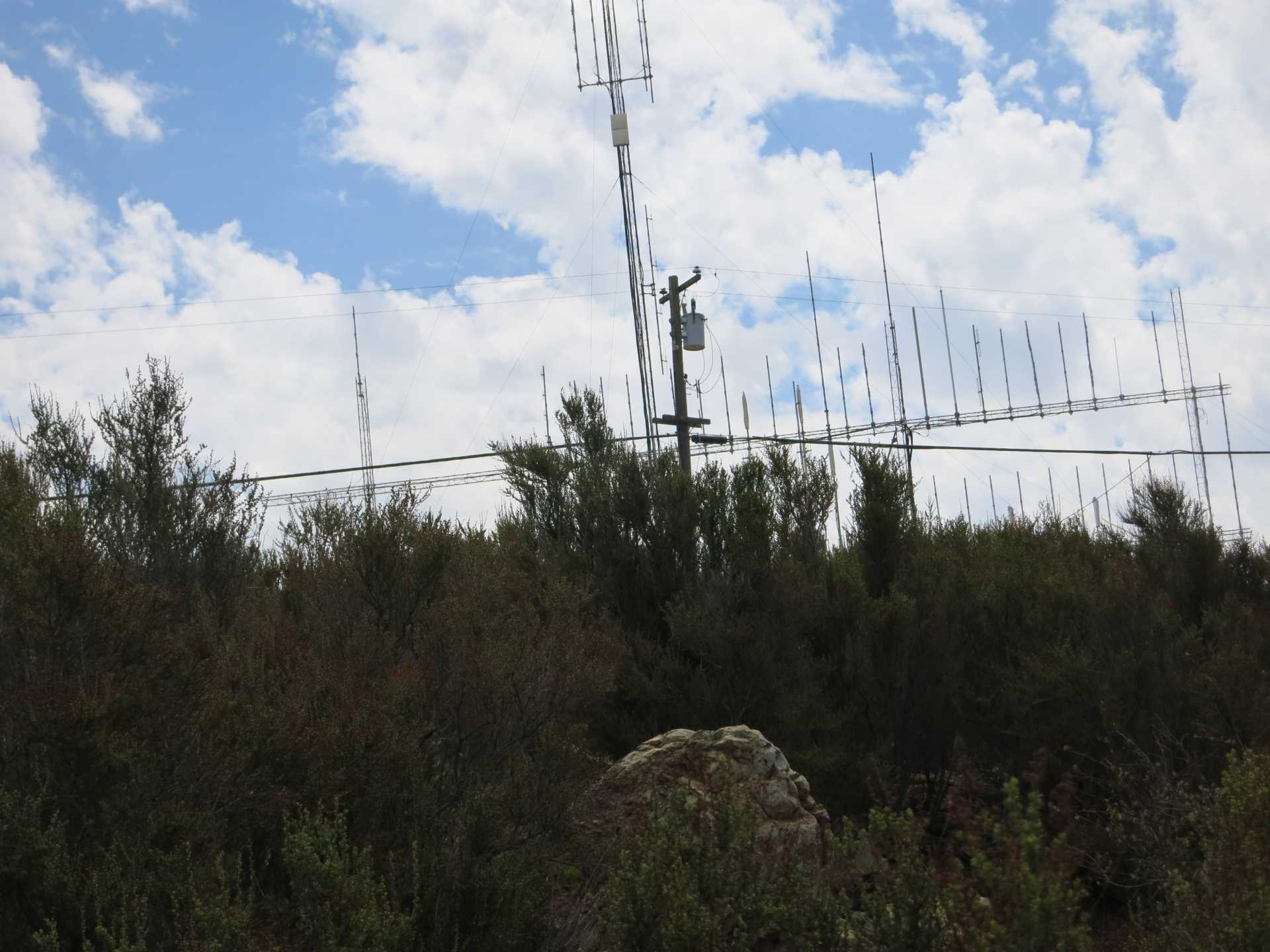
There are a LOT of antennas of here, in several locations.
I think that is the very peak up there. I did not go up there.
This is near a place called Doghouse Junction, but I can't find any information about either one.
Three Panoramas!
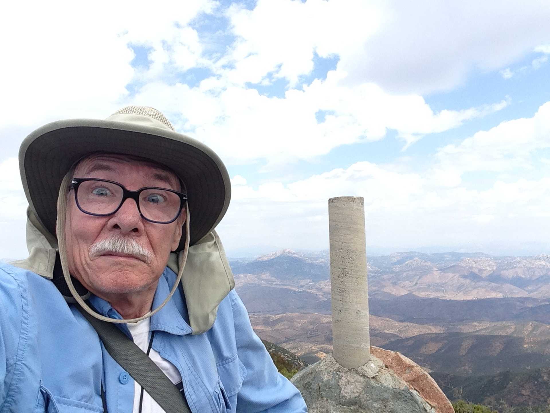
These two pics show two of the many expressions I have when I can't find the geocache.
I found sixteen geocaches today, and didn't find four.
That is all I got for today! Thanks for reading!
We had QUITE a spell of warm weather when a tropical something moved through. I took several screen shots to document the horridity of it.
September 1st at 11:24 AM
My humidity meter seems stuck on 99%
September 1st at 1:03 PM
It was pretty darn hot and humid, but I'm not QUITE sure it actually reached 114 here. No one else that anything QUITE that high. Close, but not QUITE.
September 1st at 1:38 PM. A little later than the next pic, but I'm too lazy to fix it!
September 1st at 1:18 PM
September 2nd, at 3:14 PM
September 3rd. Here we see the weather record for short period, showing the temperature drop as the rain level goes up.
Parking spaces for very short cars? I saw this geocaching, in Mission Valley-ish.
Removing the old carpets revealed this stuff stuck to the floor, quite securely. A LOT of work to remove it, not to mention all the staples and nails, some broken off.
Fortunately the bedroom had a lot LESS of it. Almost none. What a relief!
I walked around all morning Thursday with a touch-screen stylus stuck in my shoe. So THAT'S what that lump was!
A chain reaction collision at Los Primos. This car was unlucky enough to be behind a truck, and in front of the person who managed to push three vehicles into each other.
OK, I made this because someone re-posted something about sharks in hurricanes that was created at the same website, you can see the watermark. I can make fake news too!
The background is really a picture I took at Pt. Reyes a couple of years ago. It's foggy there.
I drove out to Mt. Otay today. My first time driving up there. I only realized the other day that it was even possible to drive up there. In a truck, anyway. If one had 4WD one's horizons, as it were, could expand even farther. Or further. I forget which.
I parked at Doghouse Junction (about 200 feet shy (vertically) of the summit) and walked around a bit, looking for three geocaches, and taking some pictures.
So here we see Lower Otay Lake. We can see the Pacific Ocean out there. Or we could, if it was a clear day.
This one is more to the south, towards Otay Mesa.
There are a LOT of antennas of here, in several locations.
I think that is the very peak up there. I did not go up there.
This is near a place called Doghouse Junction, but I can't find any information about either one.
Three Panoramas!
1
2
This one and the next are from the very same location. I just zoomed in a little.
3
These two pics show two of the many expressions I have when I can't find the geocache.
I found sixteen geocaches today, and didn't find four.
That is all I got for today! Thanks for reading!
Monday, August 28, 2017
The Trip: Day Seven
From St. George, Utah, to San Diego, California.
We stopped for some geocaching in the Virgin River Gorge.
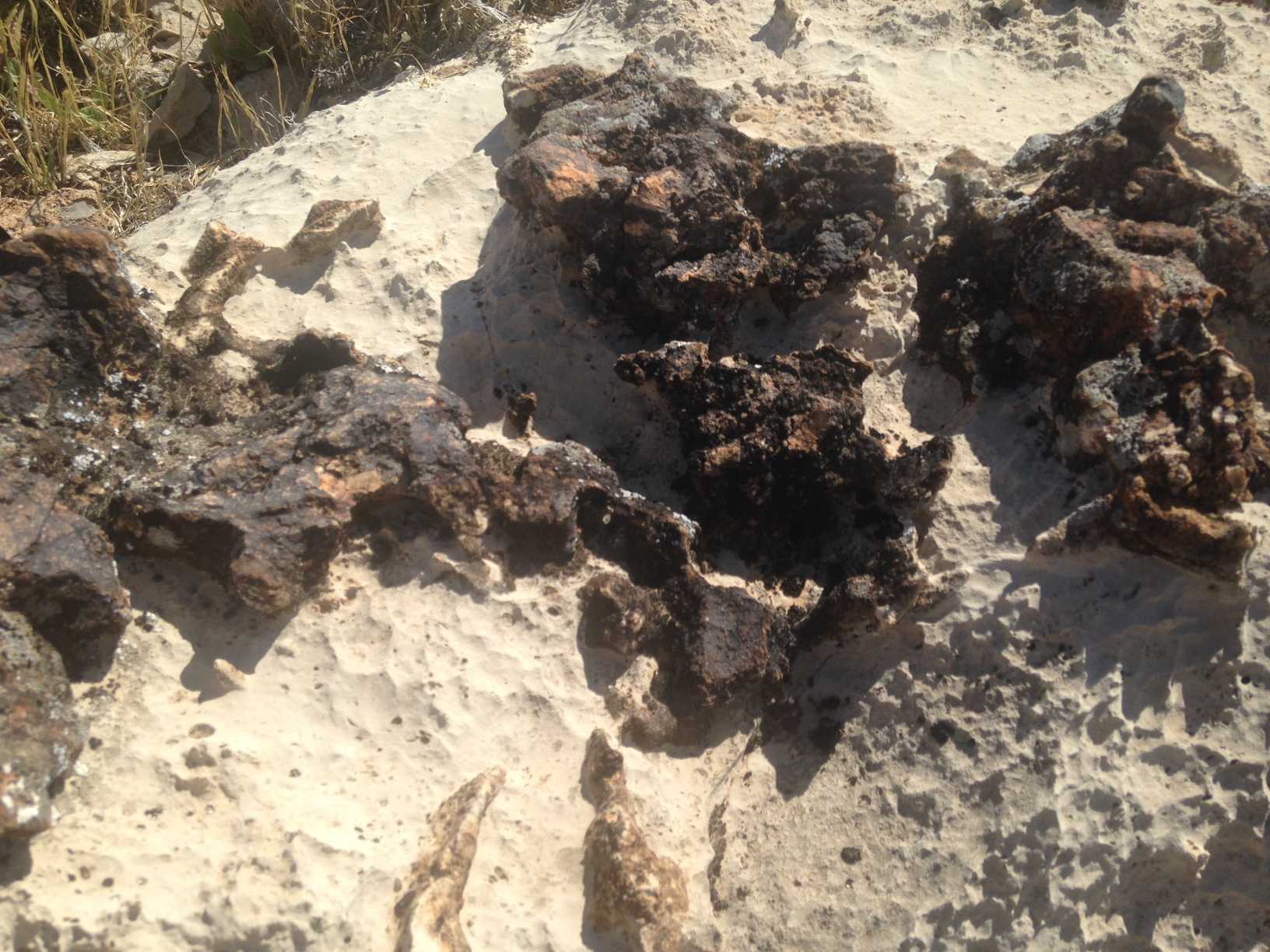
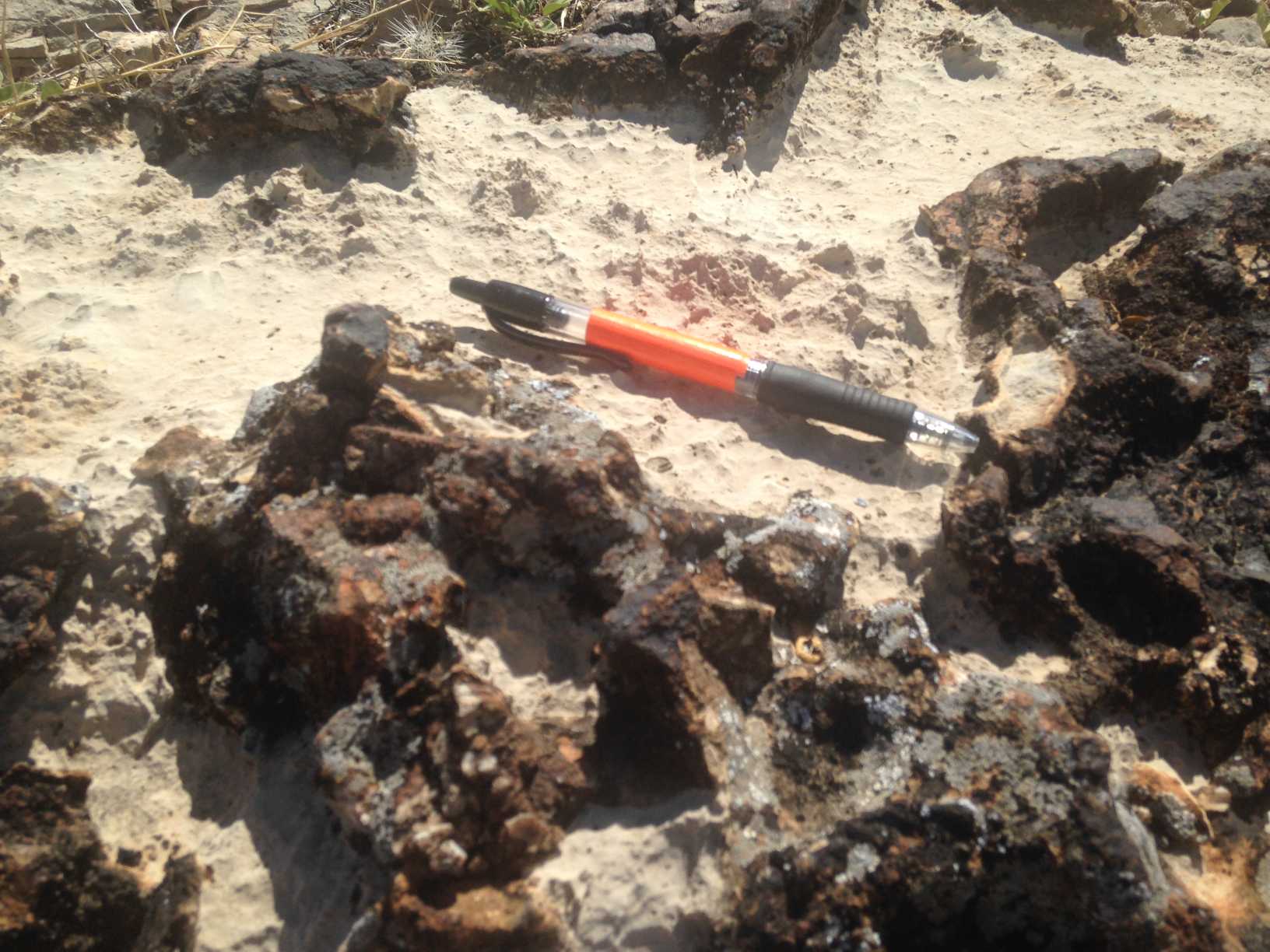
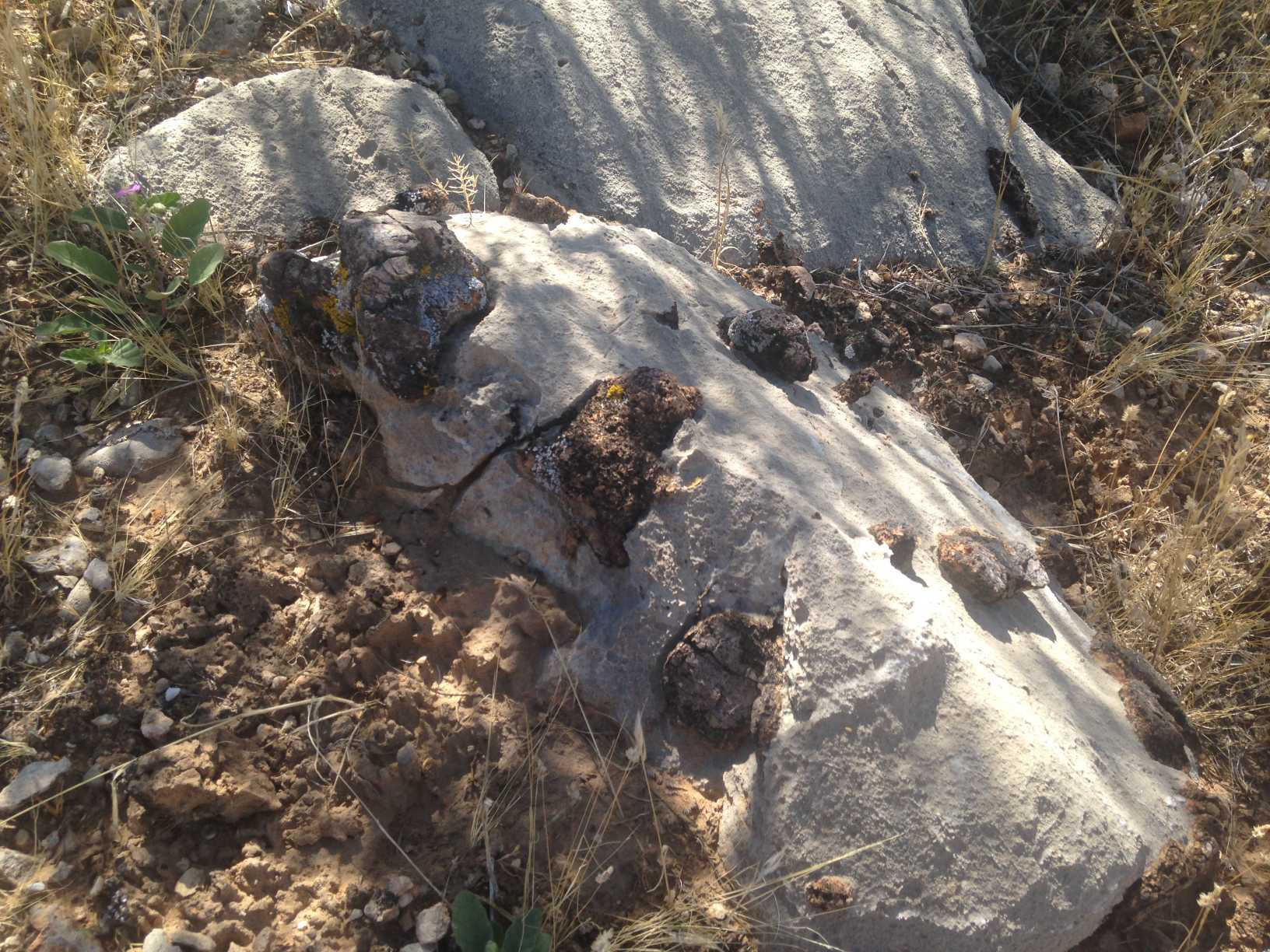
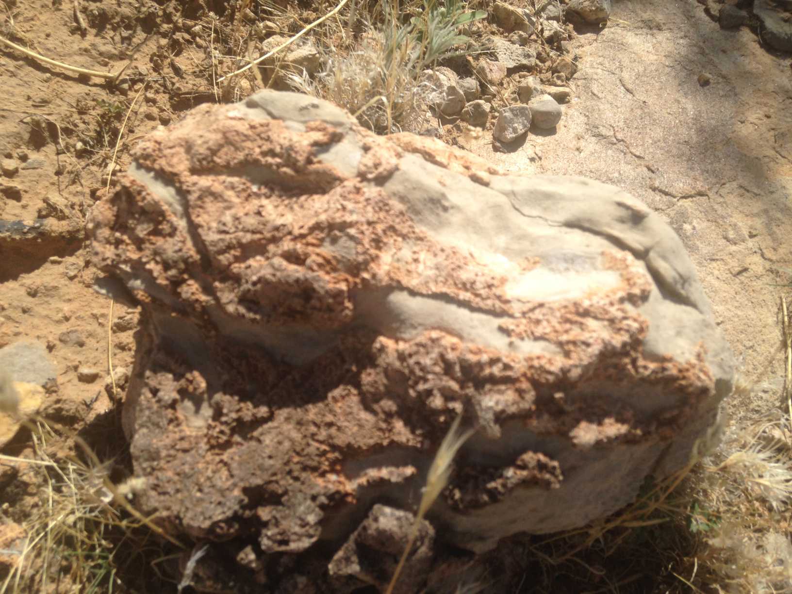
At the first cache there were lots of interesting rocks. If you don't like rocks, well, just skip this part!
With a pen, for scale.
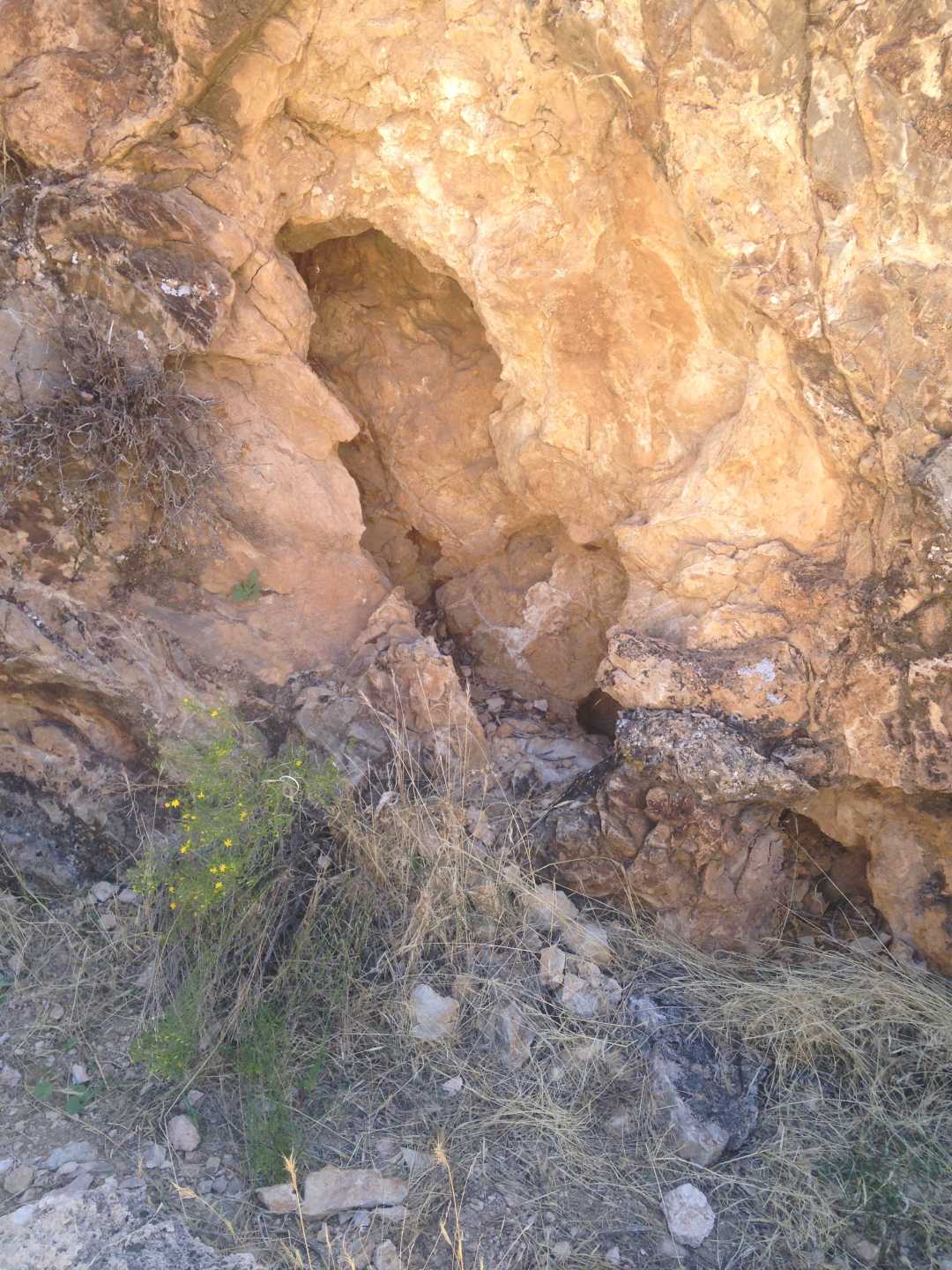
To another cache we drove up a dirt road until Matt decided that maybe we ought to walk. It was pretty hot, but we made it to the cache area. We didn't find the cache, though. There were some small rock arches that were pretty neat. I didn't take any pictures of those. I took a picture of this, though.
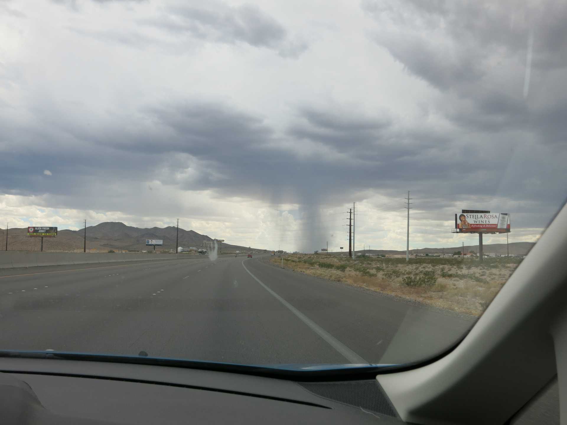
We got through Las Vegas OK, but could see the clouds off in the distance. I believe we were over the border and into California when I took this picture.
The temperature dropped appreciably, down to the 70s, and we had some rain. And some lightning, off in the distance. Here is a still from the movie linked below, so you don't even have to watch it!
Oh, just watch it! I even edited out a couple of minutes of us just driving along waiting for some sparks. You're welcome! Lightening movie.
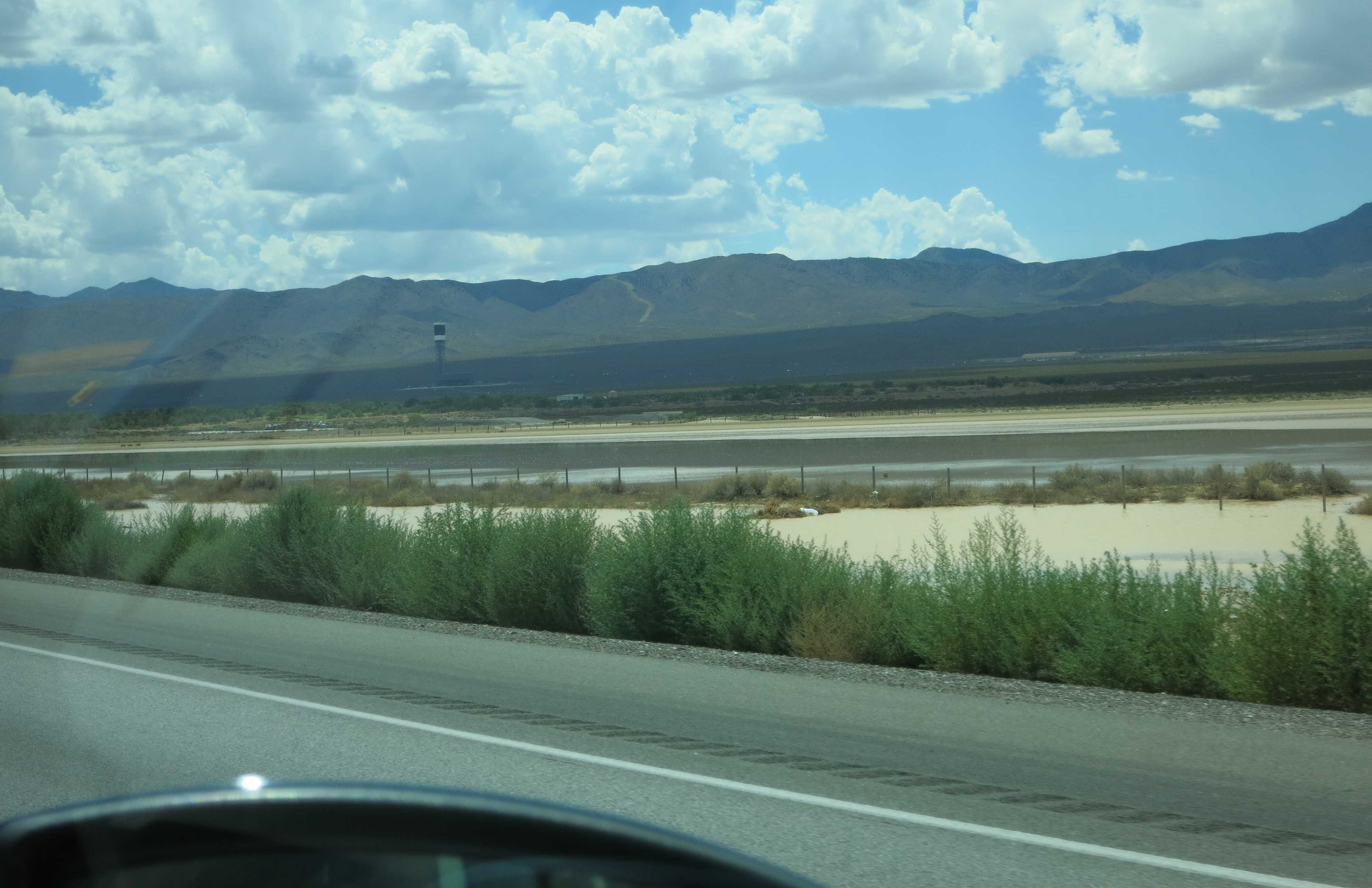
A not-very-deep lake has formed after the rain.
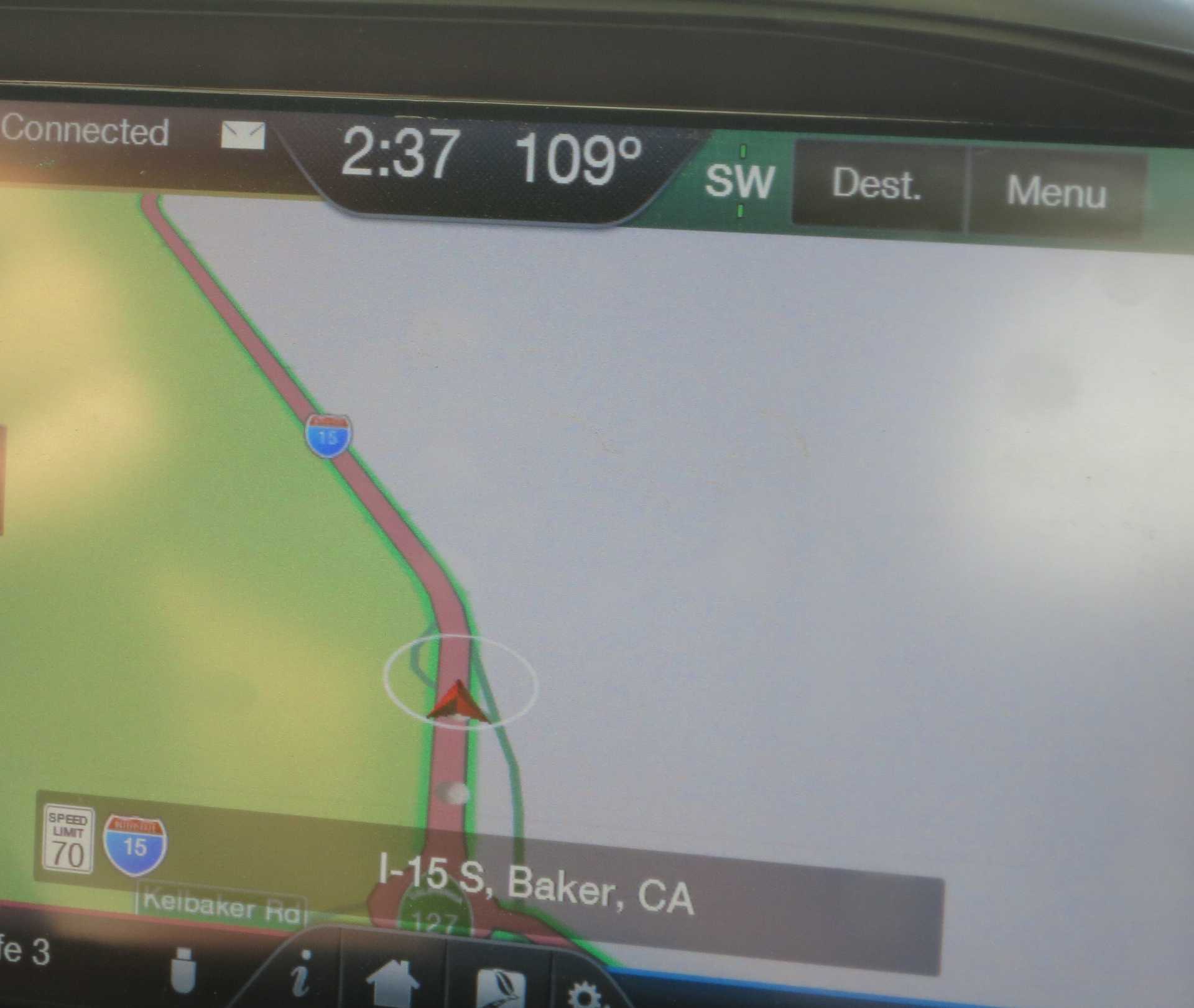
The heat came right back up. Still hot in Baker!
Here we see a concrete arrow just peaking over the ridge line. This is the arrow #13 on the LA to SLC path a mile or so from the Afton Road overpass near Dunn, California.
Link to excellent quadcopter video by elrojo14: Los Angeles to Las Vegas Airway / Airmail #13 Concrete Arrow
Link to a website: Arrows Across America -- California
Link to a website: Concrete Arrows and the U.S. Airmail Beacon System
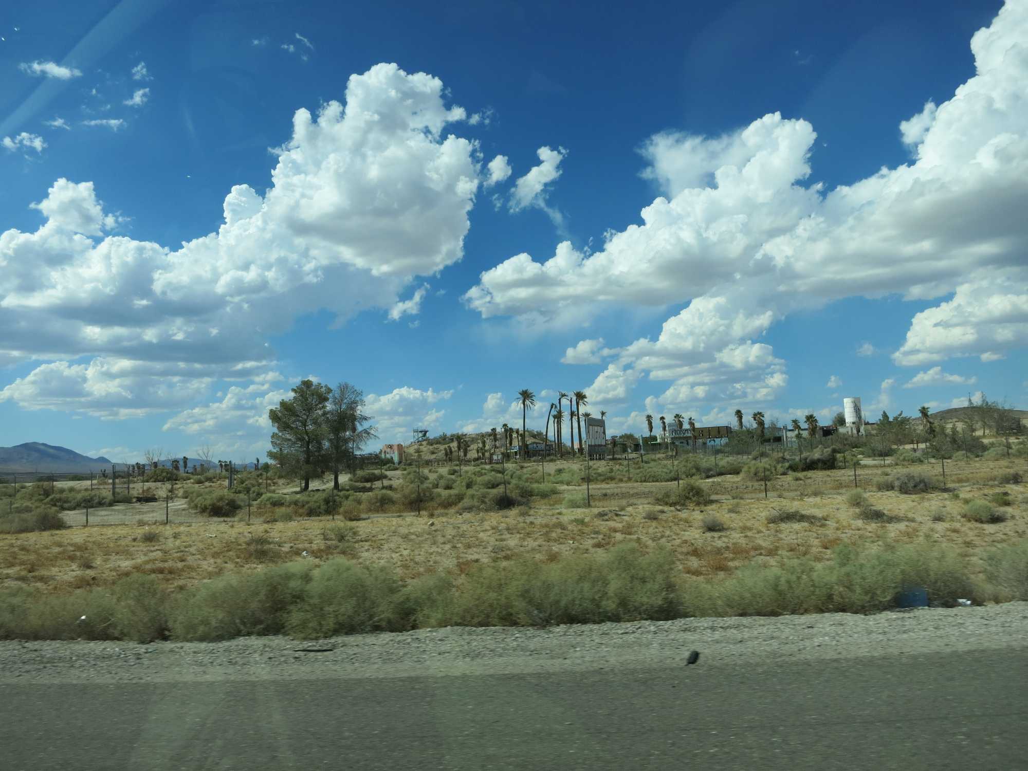
The abandoned, sort-of, Lake DoloresRock-A-Hoola Water Park, or something, near Newberry Springs.
Link to Wikipedia: Lake Dolores Waterpark
Link to website: Owner Plans To Revive Long-Closed Lake Dolores
Link to website: Reopening Lake Dolores Water Park Is Only A Wet Dream
We stopped at the Harvey House in Barstow, to explore a bit of railroading history.
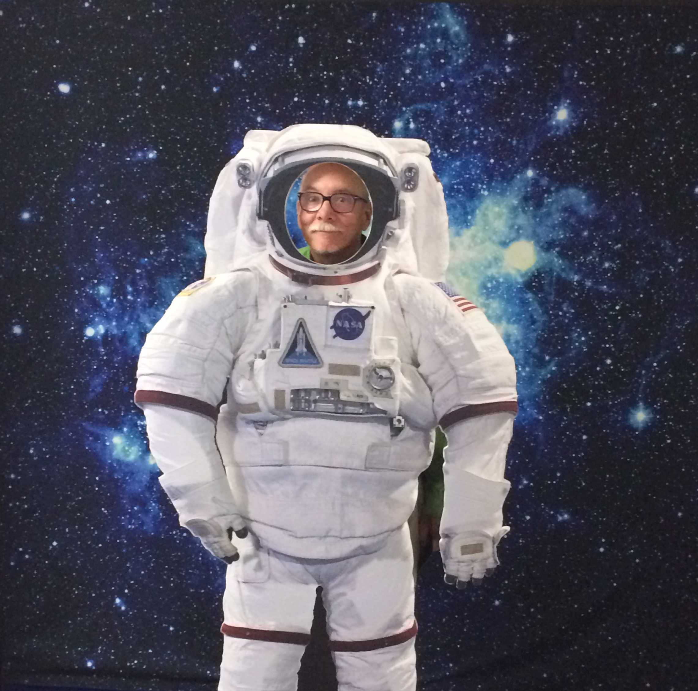
We ended getting a bit of space exploration history and happenings at the Goldstone DSN Visitor Center inside on the second floor.
Whee, I'm in space!!
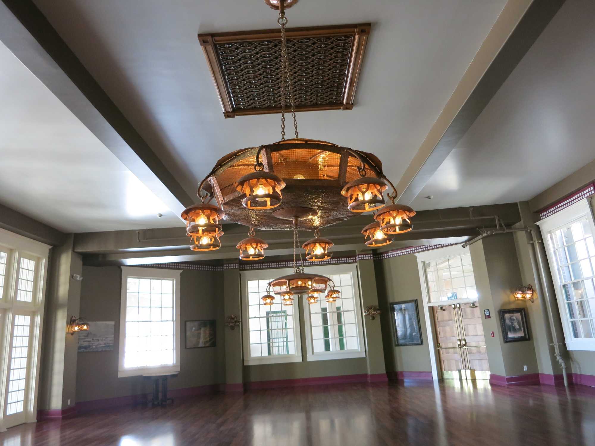
The guard said this one the original lamp, over a hundred years old. Deserves more than one picture!
Two
Three!
Wikipedia link to information about the Harvey House:
Railroad cars that carry automobiles. Here's a link to information about the car in the middle there.
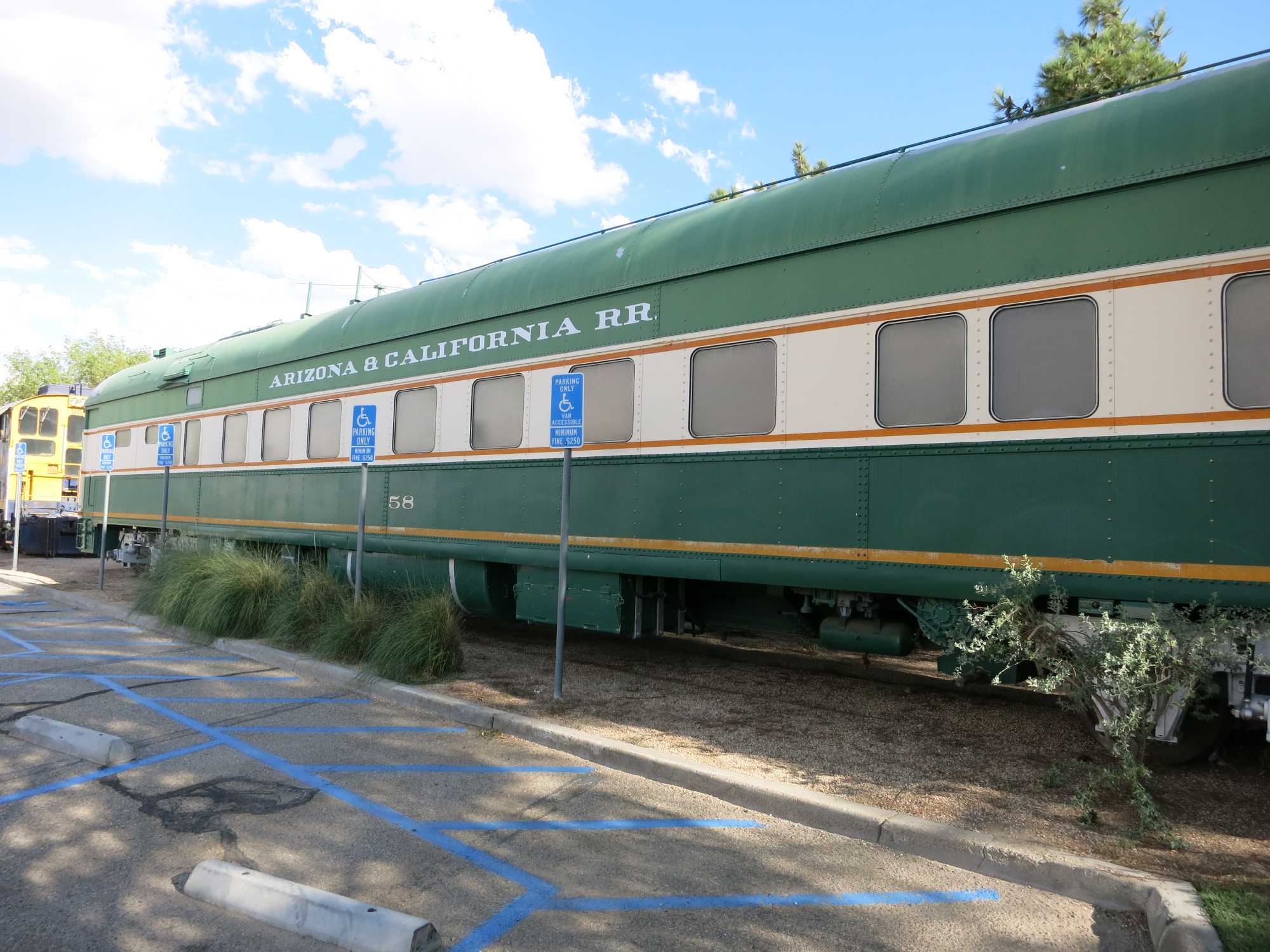
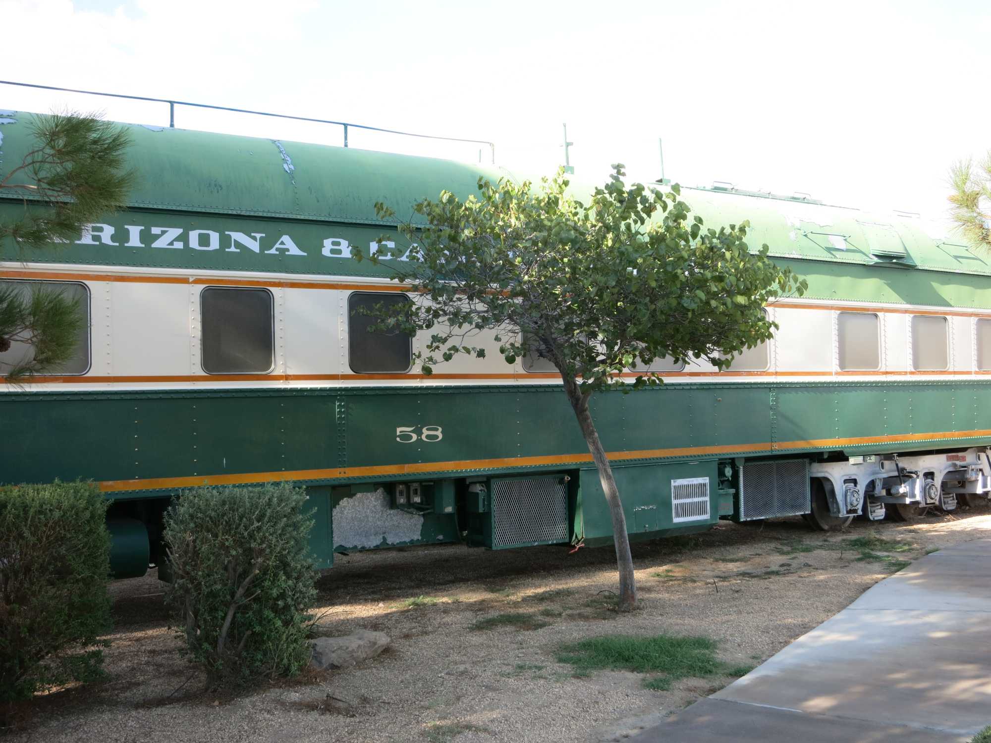
Arizona & California RR business car.
Why is that tree there???
Somebody move that tree!!!
Link to listing on Waymarking.com
Link to article including an interview with someone who rode on it
GE 44 ton diesel locomotive. I have a model of one of these, and it is yellow, too!
Link to listing at Waymarking.com
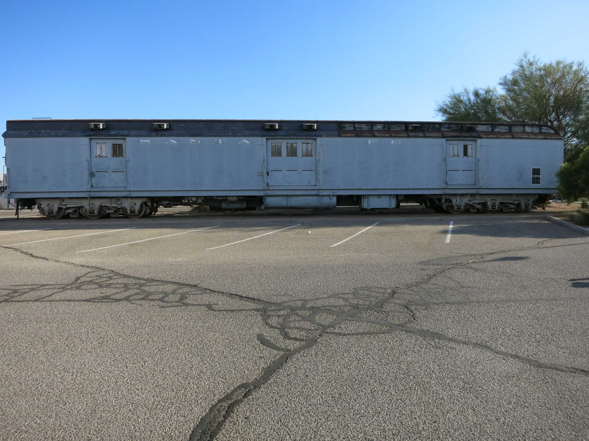
Santa Fe baggage car. It was so long we had to back WAY up to get it into frame! I really don't understand not having a reporting number on the car!
I don't know what you call this, but there it is.
Link to listing at Waymarking.com
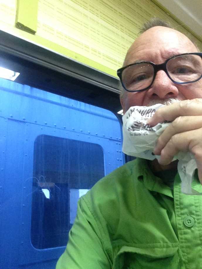
Dinner at Barstow Station Mall in the McDonalds. Link to Roadside America page...
Driving down the 15 at Pala Mesa, the lights on the freeway coming down the grade were very pretty. Sadly, this is the best of ten pictures. One probably needs a tripod and a staple platform for this sort of thing.
Driving distance was about 449 miles.
Well, that's it for the Big Trip To The Eclipse. Thanks for reading!
We stopped for some geocaching in the Virgin River Gorge.
At the first cache there were lots of interesting rocks. If you don't like rocks, well, just skip this part!
With a pen, for scale.
To another cache we drove up a dirt road until Matt decided that maybe we ought to walk. It was pretty hot, but we made it to the cache area. We didn't find the cache, though. There were some small rock arches that were pretty neat. I didn't take any pictures of those. I took a picture of this, though.
We got through Las Vegas OK, but could see the clouds off in the distance. I believe we were over the border and into California when I took this picture.
The temperature dropped appreciably, down to the 70s, and we had some rain. And some lightning, off in the distance. Here is a still from the movie linked below, so you don't even have to watch it!
Oh, just watch it! I even edited out a couple of minutes of us just driving along waiting for some sparks. You're welcome! Lightening movie.
A not-very-deep lake has formed after the rain.
The heat came right back up. Still hot in Baker!
Here we see a concrete arrow just peaking over the ridge line. This is the arrow #13 on the LA to SLC path a mile or so from the Afton Road overpass near Dunn, California.
Link to excellent quadcopter video by elrojo14: Los Angeles to Las Vegas Airway / Airmail #13 Concrete Arrow
Link to a website: Arrows Across America -- California
Link to a website: Concrete Arrows and the U.S. Airmail Beacon System
The abandoned, sort-of, Lake DoloresRock-A-Hoola Water Park, or something, near Newberry Springs.
Link to Wikipedia: Lake Dolores Waterpark
Link to website: Owner Plans To Revive Long-Closed Lake Dolores
Link to website: Reopening Lake Dolores Water Park Is Only A Wet Dream
We stopped at the Harvey House in Barstow, to explore a bit of railroading history.
We ended getting a bit of space exploration history and happenings at the Goldstone DSN Visitor Center inside on the second floor.
Whee, I'm in space!!
The guard said this one the original lamp, over a hundred years old. Deserves more than one picture!
Two
Three!
Wikipedia link to information about the Harvey House:
Railroad cars that carry automobiles. Here's a link to information about the car in the middle there.
Arizona & California RR business car.
Why is that tree there???
Somebody move that tree!!!
Link to listing on Waymarking.com
Link to article including an interview with someone who rode on it
GE 44 ton diesel locomotive. I have a model of one of these, and it is yellow, too!
Link to listing at Waymarking.com
Santa Fe baggage car. It was so long we had to back WAY up to get it into frame! I really don't understand not having a reporting number on the car!
I don't know what you call this, but there it is.
Link to listing at Waymarking.com
Dinner at Barstow Station Mall in the McDonalds. Link to Roadside America page...
Driving down the 15 at Pala Mesa, the lights on the freeway coming down the grade were very pretty. Sadly, this is the best of ten pictures. One probably needs a tripod and a staple platform for this sort of thing.
Driving distance was about 449 miles.
Well, that's it for the Big Trip To The Eclipse. Thanks for reading!
Subscribe to:
Posts (Atom)