View from the puzzle cache, looking sort of east. There's the big "rusty" water tower with the clouds on top!

View from the puzzle cache looking sort of south-east. There is Mt. Helix! And over there, that's where I work!

The trail. We are looking up towards where the "G" used to be. I can't believe Phillip and I hiked up that in the dark so we could camp out at the peak!
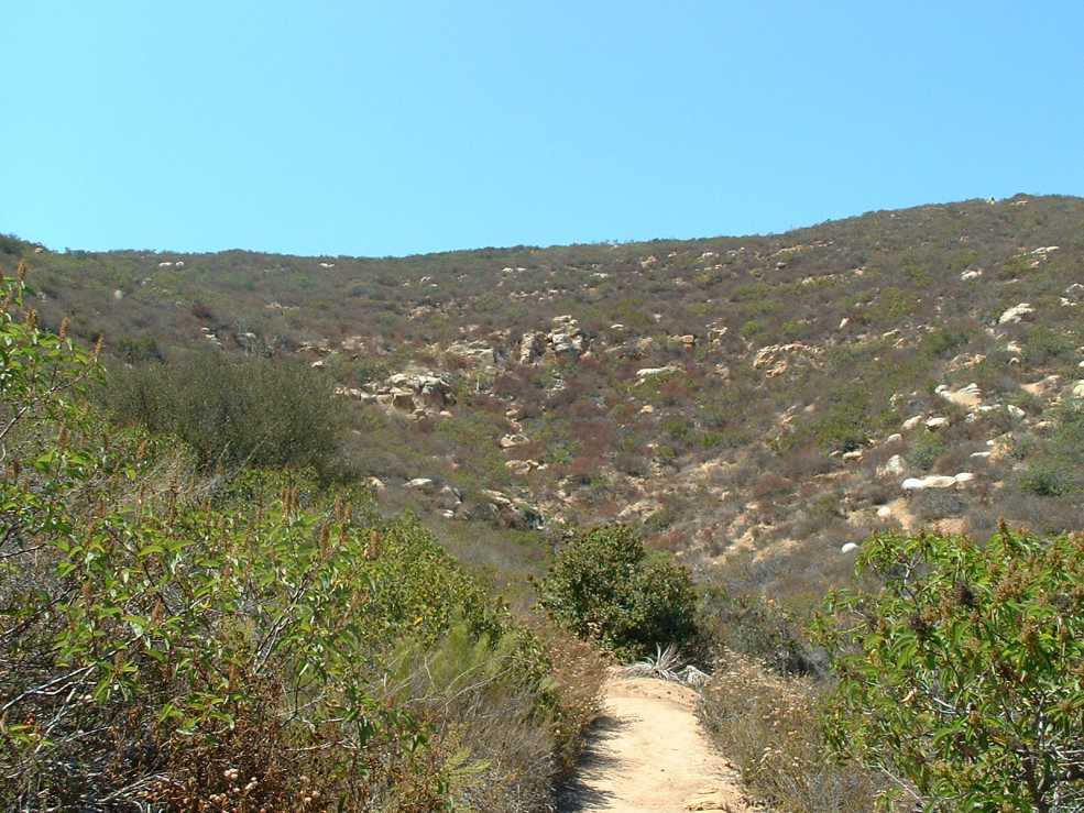
The temperature was in the very low 90s when I was there, but there was a little breeze, so it was OK.
The trail is very nice, but it is not on the official trail map. There are trail signs and a doggy doo station, and there are no closed signs. It begins right behind and travels along and above a residential fence line, I wonder how the people in their pools feel about that?
Here's a stupid YouTube video I ran across. Helicopter Smashes In San Diego Cowles Mountain
Yesterday I figured out what the geocaching term CLF stands for: Chain Link Fence
The End
No comments:
Post a Comment