I drove over to the trailhead, passing the HORDES of people going up and down Cowles Mountain. Shot this pic while waiting for the stoplight. See the little ants on the trail? There is NO place to park along here.

I parked at the trailhead on Father Junipero Serra Trail, road, and headed up. It's pretty steep in parts, and flat in others. Mostly steep. Lots of rocks and ruts. I finally made it to the peak in about forty minutes. I ate a granola bar and drank some water. I located a trail heading back down the other side that wasn't marked "Do Not Enter", and made my way down. I went down a couple of false trails (more later), but eventually found the correct one.
The first cache I looked for was Splashette, named after a geocacher. I looked for about thirty minutes and didn't didn't find it. That was disappointing, but I headed on to the next one.
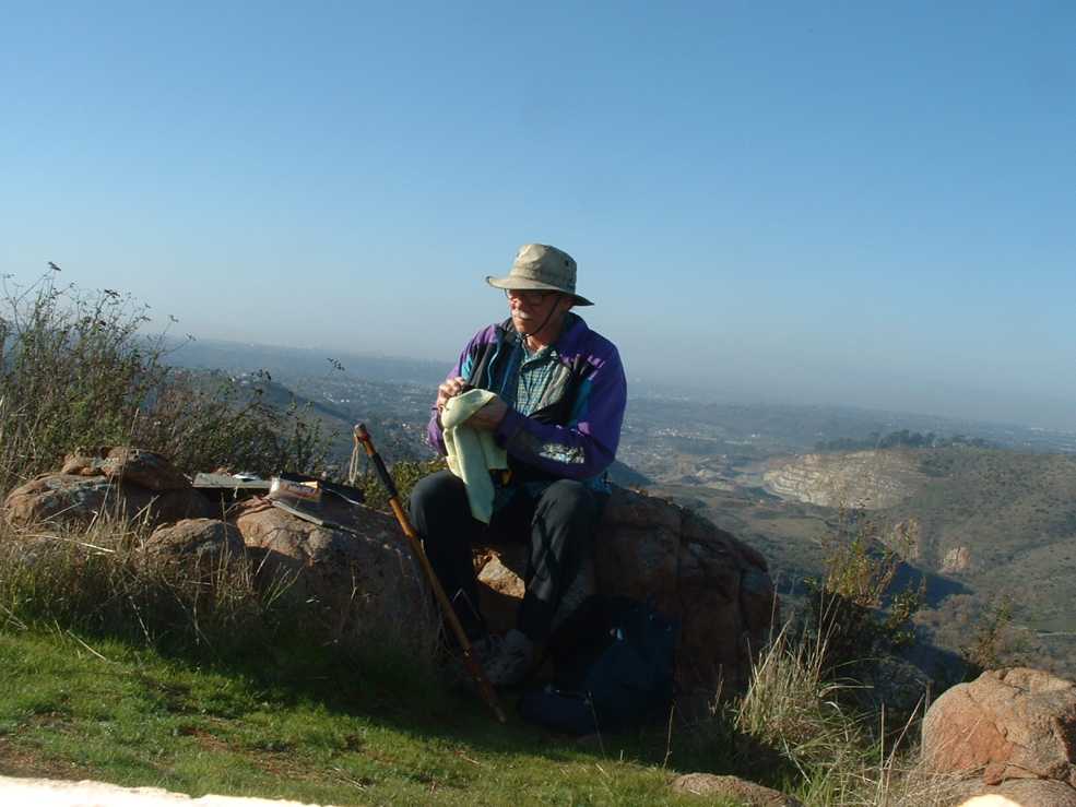
The next cache was named Middle Earth. It takes its name from a nearby rock climbing route. I spotted it easily, to my relief. It had a bit of water in it, so most of the stuff was damp. I dried it as best I could.
Looking DOWN into the canyon.

The view is pretty impressive. If it wasn't so hazy, you could see all the way to Pt. Loma!
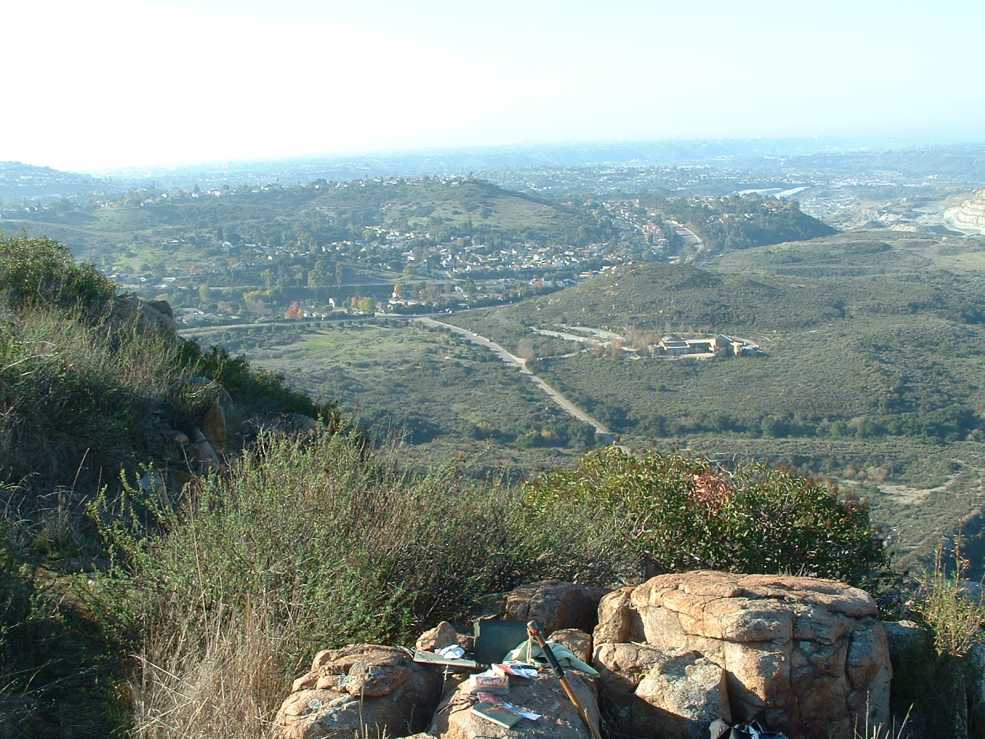
OK, so that is not really looking towards the ocean. More to the south.
After finishing up I looked around a bit for the cache I didn't have the coordinates for, and to see if I could figure out the trail down, in case I ever wanted to come back up. I THINK I figured out the trail, but I didn't find the cache. I didn't really expect to. If I just had that pro membership...
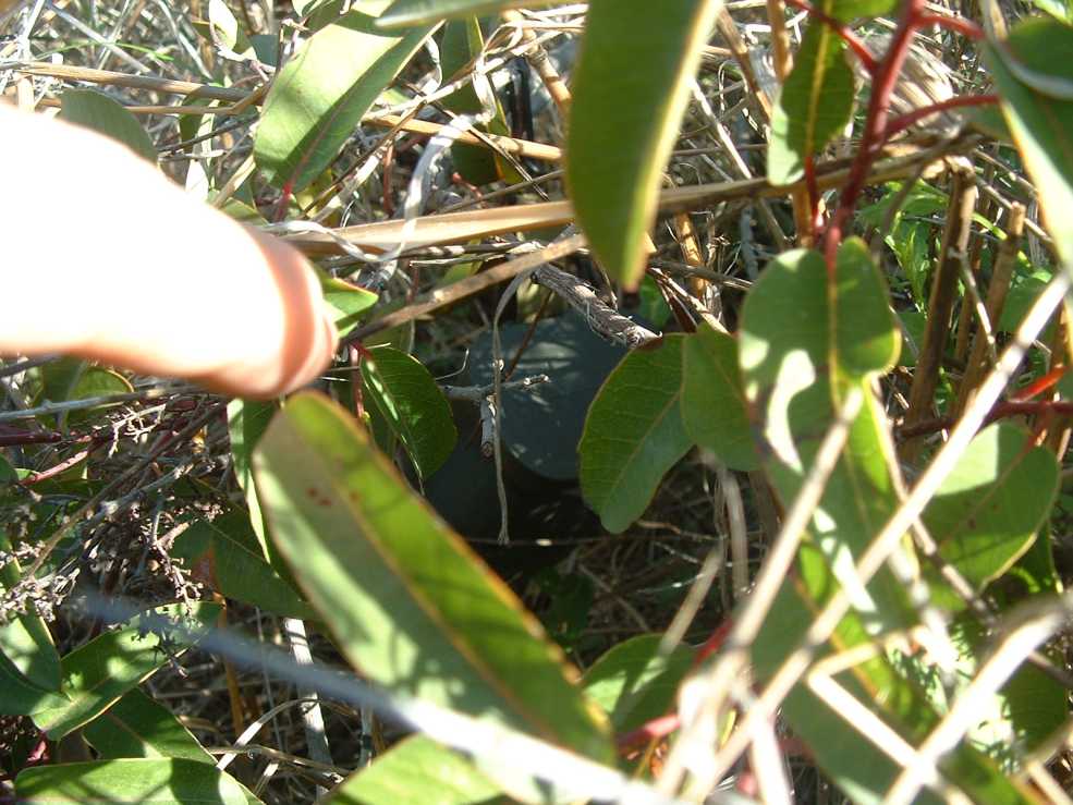
I decided to play with the GPSr "trackback" feature, and headed back up the hill to Splashette. I looked around for another half-hour, and was just about to call it quits when my poking stick struck something. Something odd. It was the cache!
Well, NOW I was happy! It was not till I got home that I found out that Splashette is the pro-level cache. So I can't log my find! It was the OTHER cache, the one I didn't have the coordinates for, that was a regular cache that I could have written them down, uh, for. I mixed them up when I was looking at the map. Why did I have a pro-level cache already loaded in the GPSr? Because I used to be one of the exalted! And I will again. I swear it! And why was the other cache not in there. Well, duh, I don't know.
Using the trackback feature on the GPSr kept me from getting off the track a couple times. It was interesting to see that it tracked my false trails from the way down, too.

I really have to stop biting my nails!
I have not seen any other people on the trail, except for a couple of rock climbers way off in the distance.
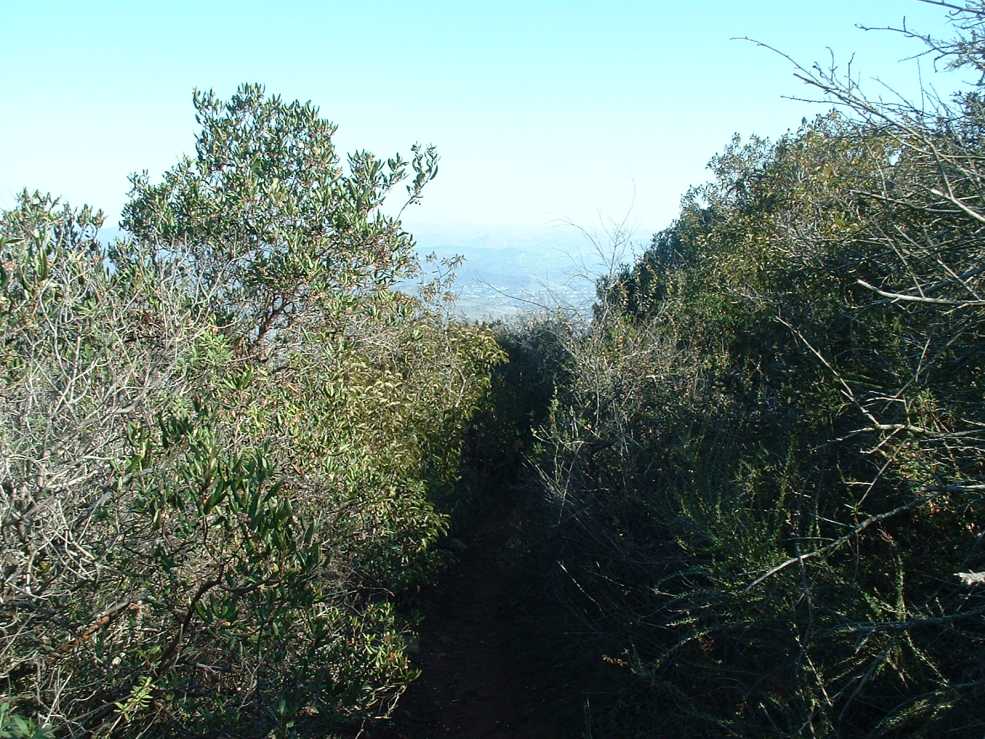
I made it back to the peak, and headed back down again. Here is a section of the trail I thought was real cozy.
Across the canyon are some outstanding rock formations. The rock climbers would like to be able to do them, but the park guys won't let them. There's a geocache up there near the top, I've looked for it a couple of times but no joy, yet. I heard you may need a rope to get to it, and I don't have a rope, nor the experience to safely work with one.

And here is another steep section.

View of the 52 and the dam area.

I decided to name this rock "The Big Rock" 'cause its big and it sticks out in the trail.

A few feet down the trail I found another rock, which I shall call "The Even Bigger Rock", as it is bigger and also stick out into the trail.

Right about here I sighted my first human being, a woman coming up with two walking sticks. I told her she was the first person I had seen today, and she said it was like having your own private place.
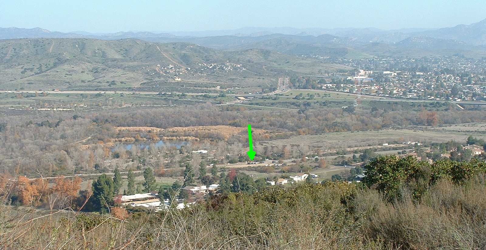
Here we got the 52 and Mast. You can see the trail head where I parked. Down there by that green arrow!
I met a guy and his well-behaved dog, and later on a man and his small child, who had a very nice walking stick. I picked up some trash along the way, but didn't have a bag for larger stuff like water bottles, so I had to leave them Next time!
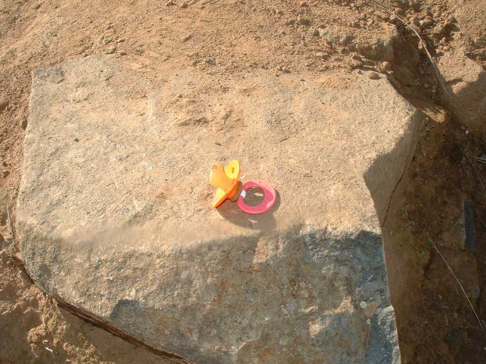
Some baby dropped his Nuk. There is one unhappy kid out there!
The whole hike took about three and a half hours, and probably covered 2.5 miles. It is claimed the elevation gain is 865 feet. Doesn't sound like much! And yet I am beat!
Well, I don't THINK I left anything out, so that ought to just about do it!
No comments:
Post a Comment